Best driving roads near Atlanta
Less than two hours north of Atlanta, the Blue Ridge Mountains hide some of the Southeast's best switchback driving, where two-lane country roads tangle through the Chattahoochee National Forest.
1. Richard B. Russell Scenic Highway (SR-348)
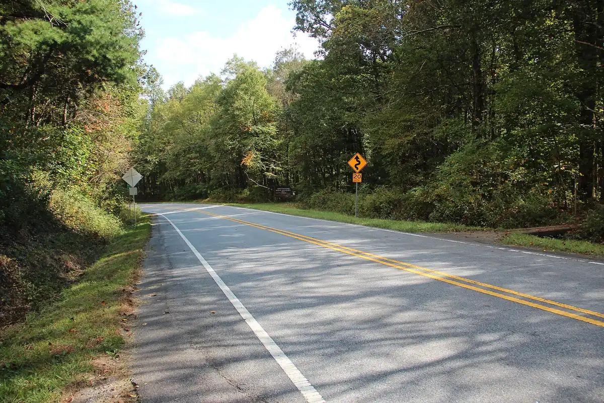

A winding two-lane mountain road over Hogpen Gap in the Chattahoochee National Forest, one leg of the 40.6-mile Russell-Brasstown Scenic Byway loop, with steep grades and blind curves.
Best time to go: Open most of the year, but the road usually closes after snow; warmer months bring the most riders and cyclists.
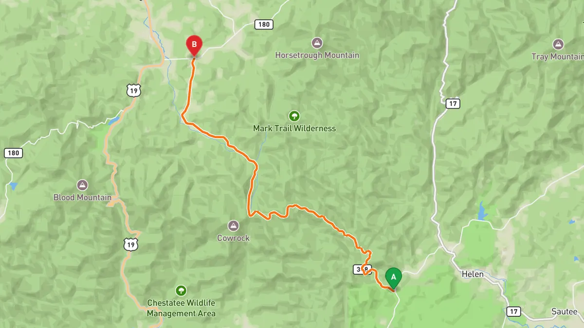
Sources: High point · Best time. Drive time is the route time for the mapped route without stops, from Mapbox.
2. Wolf Pen Gap Road (SR-180)
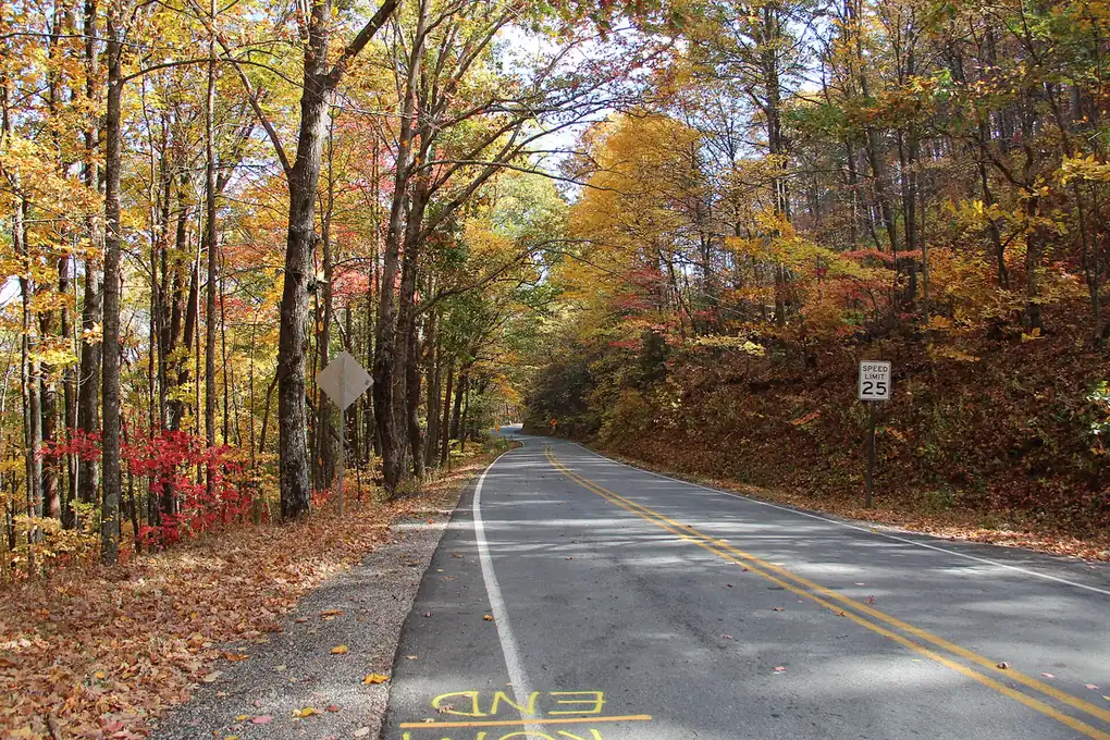

A 12-mile stretch of narrow two-lane mountain road full of blind turns and steep hills, a North Georgia enthusiast classic.
Best time to go: Fall is the standout season; the road is narrow with many blind turns.
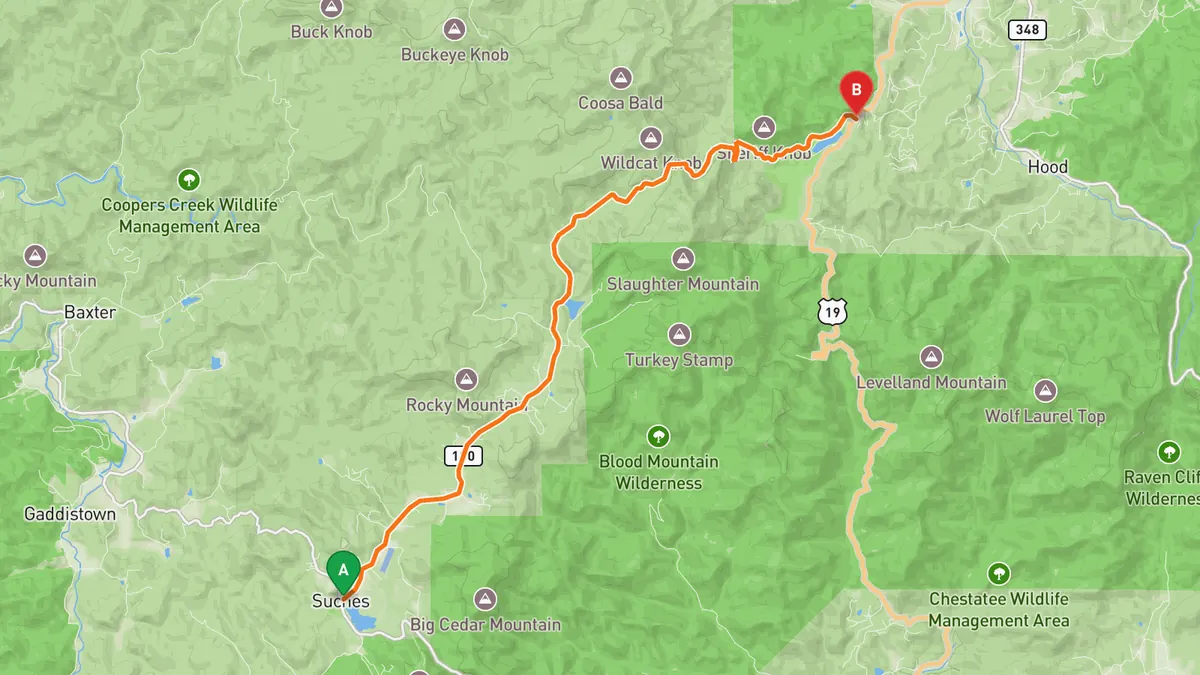
Sources: Length · High point · Best time. Drive time is the route time for the mapped route without stops, from Mapbox.
3. The Suches Loop
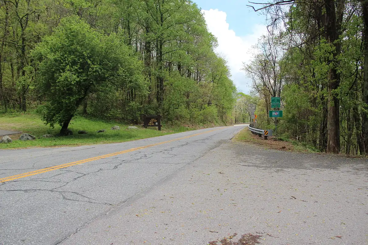

A loop of roughly 42 to 50 miles (sources differ) through the Blue Ridge around Suches, 'the valley above the clouds,' with narrow stretches and blind turns on Route 180.
Best time to go: Especially beautiful in fall; expect a challenging ride.
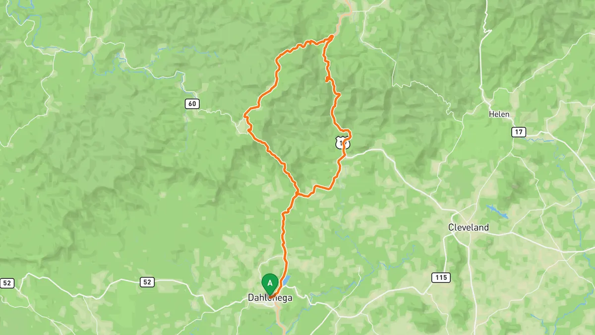
Sources: High point · Best time. Drive time is the route time for the mapped route without stops, from Mapbox.
4. SR-60 (North Georgia Mountains)
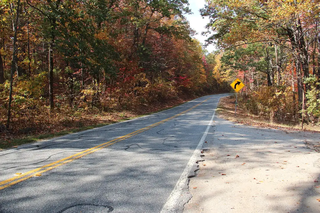

A flowing mountain two-laner through the Chattahoochee National Forest, a go-to for spirited drives around Dahlonega and Suches.
Best time to go: Fall is the standout season.
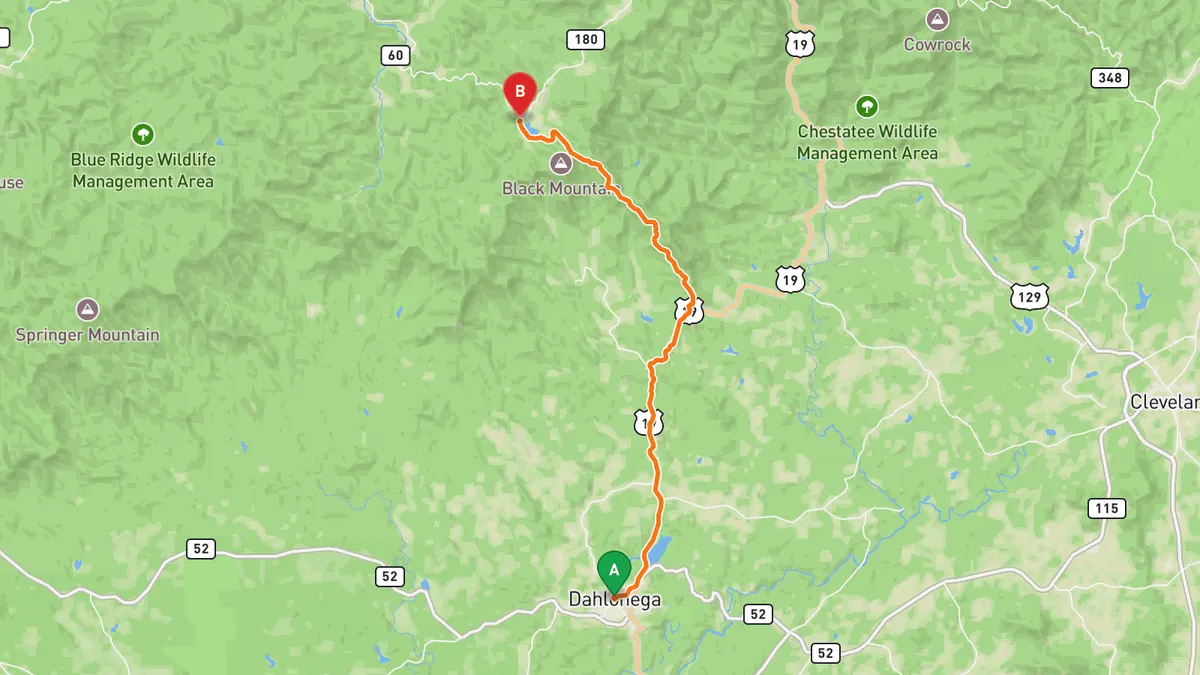
Sources: High point · Best time. Drive time is the route time for the mapped route without stops, from Mapbox.
5. SR-19/US-19 (Dahlonega to the mountains)
A classic gateway route into the North Georgia high country, linking together the area's best mountain driving roads.
Best time to go: Fall is the standout season.
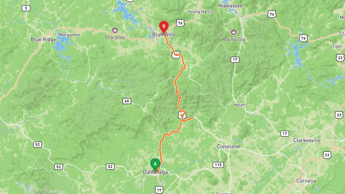
Sources: Length · Best time. Drive time is the route time for the mapped route without stops, from Mapbox.
Track your next drive near Atlanta
Open Road keeps every drive: the route on a map, the time and the distance. On iPhone and Android.


Questions, answered
- What are the best driving roads near Atlanta?
- Top picks near Atlanta: Richard B. Russell Scenic Highway, Wolf Pen Gap Road, The Suches Loop, SR-60, SR-19/US-19. Each one is here for the drive and the scenery.
- How long are the best driving roads near Atlanta?
- Wolf Pen Gap Road: 11.8 mi. SR-19/US-19: about 37 mi.
- Which driving road near Atlanta climbs the highest?
- Richard B. Russell Scenic Highway, with a high point of 3,480 ft at Hogpen Gap.
- When is the best time to drive these roads?
- Richard B. Russell Scenic Highway: Open most of the year, but the road usually closes after snow; warmer months bring the most riders and cyclists. Wolf Pen Gap Road: Fall is the standout season; the road is narrow with many blind turns. The Suches Loop: Especially beautiful in fall; expect a challenging ride. SR-60: Fall is the standout season. SR-19/US-19: Fall is the standout season.
- What's the best app to track a drive near Atlanta?
- Open Road records your drive and saves it to your drive log with the route on a map, the distance and the time. It is on iPhone and Android.