Best driving roads near San Francisco Bay Area
Wedged between the Pacific and the Santa Cruz Mountains, the Bay Area serves up redwood-shaded ridge roads, twisty backcountry climbs, and a coastline that turns every Sunday morning into a driver's playground.
1. Skyline Boulevard (SR-35)
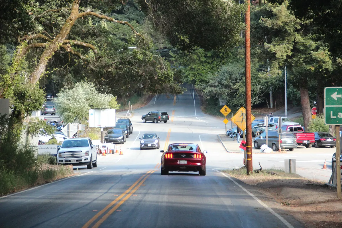

Running the spine of the Santa Cruz Mountains, it runs the ridge with views of both the Pacific and the Bay.
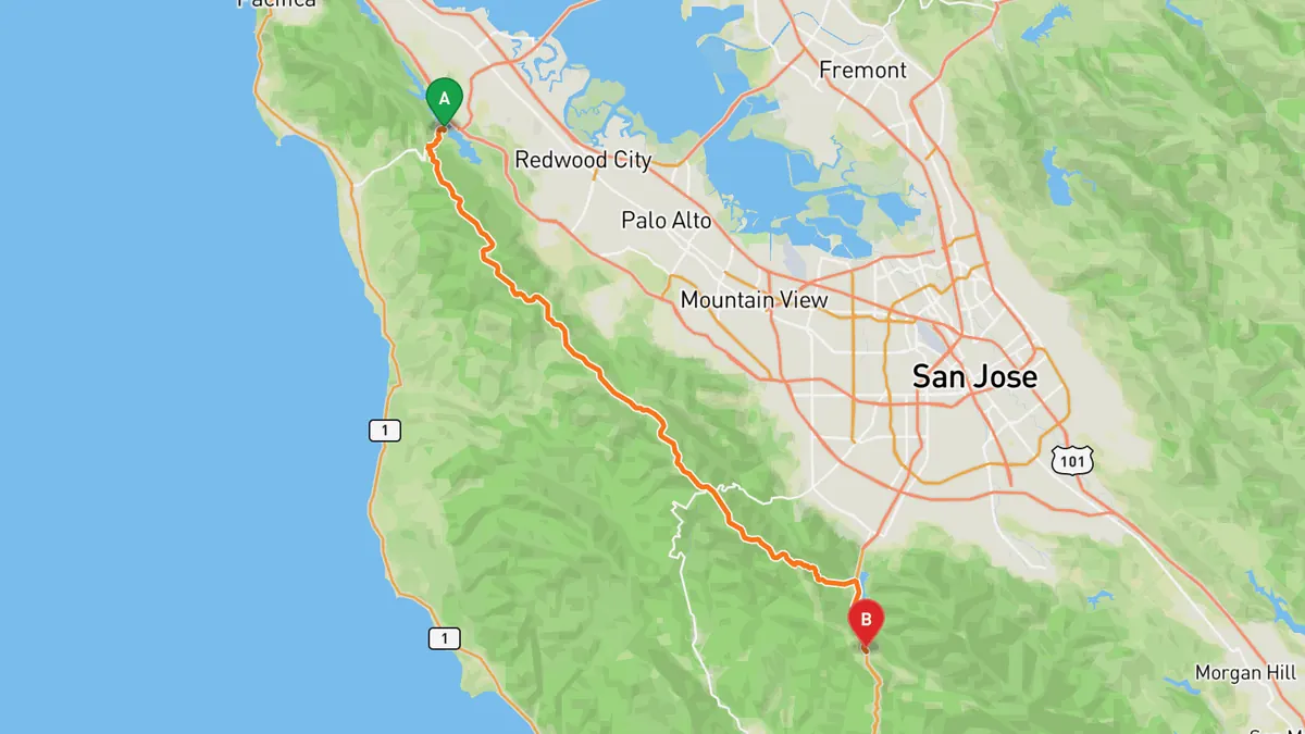
Sources: Length · High point. Drive time is the route time for the mapped route without stops, from Mapbox.
2. Highway 1 (San Francisco to Santa Cruz)
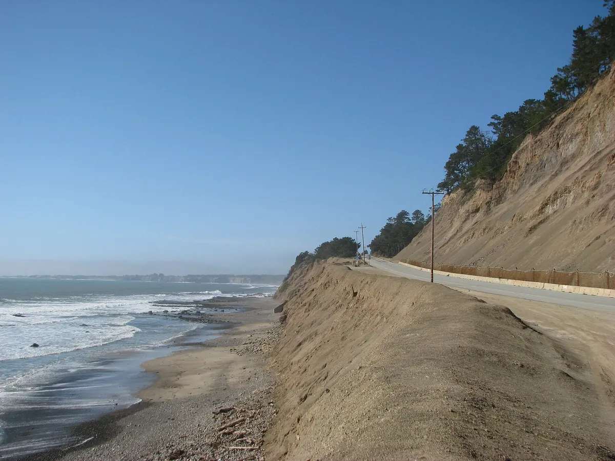

About 70 coastal miles through Pacifica, the Tom Lantos Tunnels at Devil's Slide, and Half Moon Bay, dotted with beaches and pull-offs.
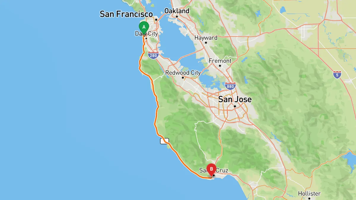
Sources: Length. Drive time is the route time for the mapped route without stops, from Mapbox.
3. Mines Road
A remote East Bay road of about 28 miles from Livermore toward Mount Hamilton, twisting through rolling hills, with long single-lane stretches.
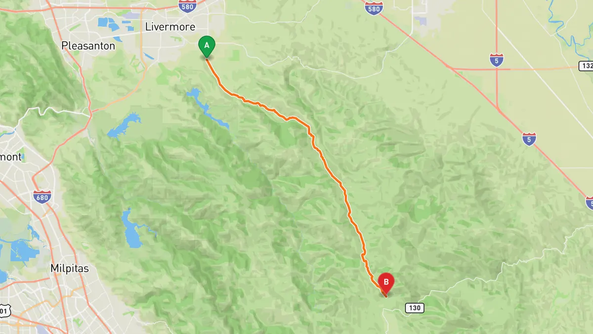
Sources: Length. Drive time is the route time for the mapped route without stops, from Mapbox.
4. Mount Hamilton Road (SR-130)
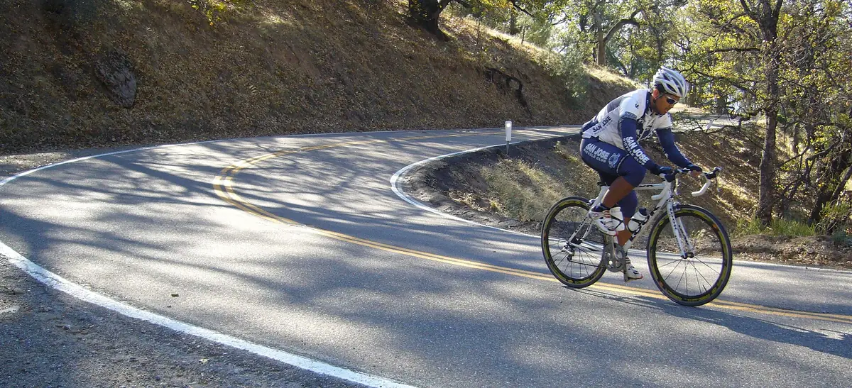

A narrow, endlessly winding climb to the Lick Observatory summit, rewarding patient drivers with views over San Jose and the Santa Clara Valley.
Best time to go: Spring through fall. It closes when snow and black ice hit the upper road in winter.
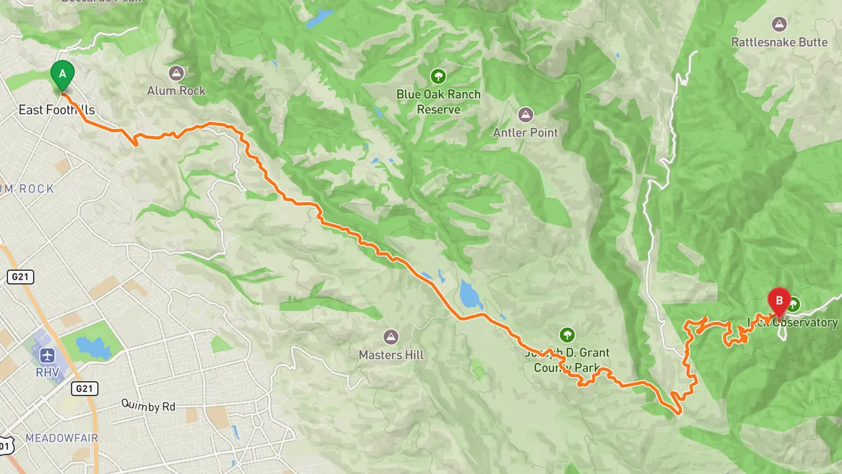
Sources: Length · High point · Best time. Drive time is the route time for the mapped route without stops, from Mapbox.
5. Old La Honda Road
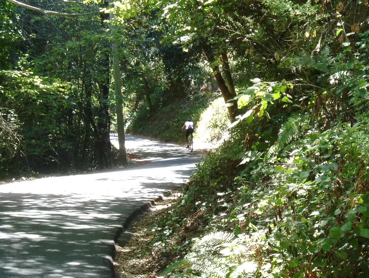

About 3.3 miles of narrow, snaking road climbing from Portola Road up to Skyline. It is tight and busy with cyclists, so take it slow.
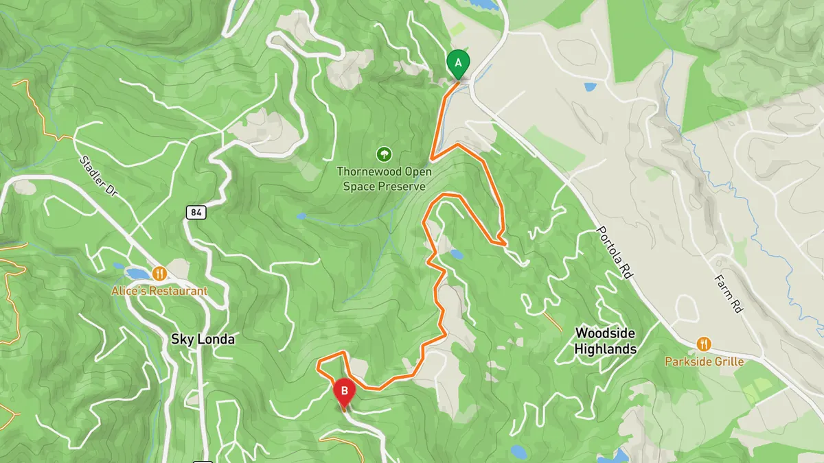
Sources: Length · High point. Drive time is the route time for the mapped route without stops, from Mapbox.
6. Page Mill Road
A twisty climb of about 8.5 miles from I-280 up to Skyline Boulevard, also one of the Bay Area's best-known cycling climbs.
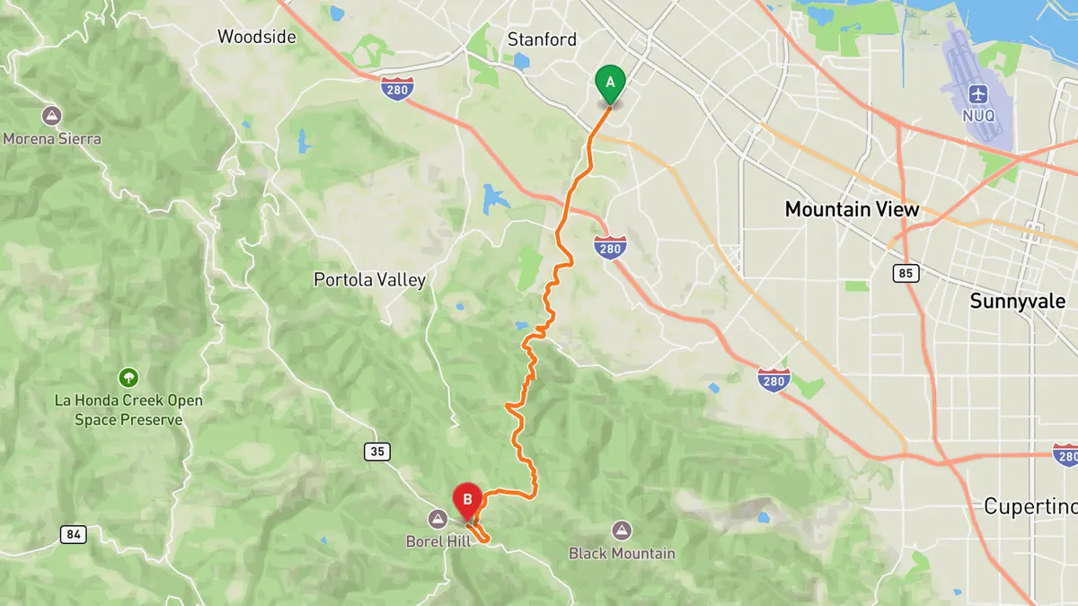
Sources: Length. Drive time is the route time for the mapped route without stops, from Mapbox.
Track your next drive near San Francisco Bay Area
Open Road keeps every drive: the route on a map, the time and the distance. On iPhone and Android.


Questions, answered
- What are the best driving roads near San Francisco Bay Area?
- Top picks near San Francisco Bay Area: Skyline Boulevard, Highway 1, Mines Road, Mount Hamilton Road, Old La Honda Road, Page Mill Road. Each one is here for the drive and the scenery.
- How long are the best driving roads near San Francisco Bay Area?
- Skyline Boulevard: about 54 mi. Highway 1: about 70 mi. Mines Road: about 28 mi. Mount Hamilton Road: about 19 mi. Old La Honda Road: about 3.3 mi. Page Mill Road: about 8.5 mi.
- Which driving road near San Francisco Bay Area climbs the highest?
- Mount Hamilton Road, with a high point of about 4,200 ft at Lick Observatory.
- When is the best time to drive these roads?
- Mount Hamilton Road: Spring through fall. It closes when snow and black ice hit the upper road in winter.
- What's the best app to track a drive near San Francisco Bay Area?
- Open Road records your drive and saves it to your drive log with the route on a map, the distance and the time. It is on iPhone and Android.