Best driving roads near Seattle
Seattle sits at the foot of the Cascades, where mountain passes, hairpin overlooks, and rainforest-lined highways open up to views of Rainier, Baker, and glacier-fed lakes.
1. North Cascades Highway (SR-20)
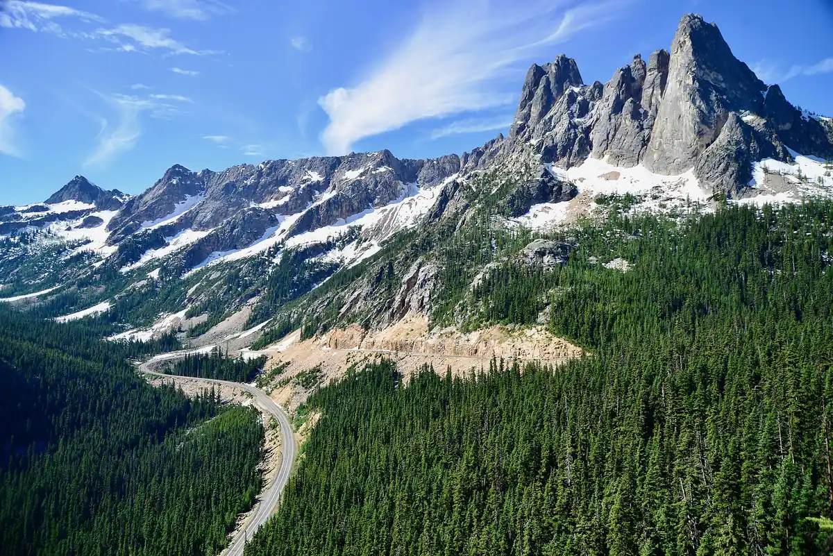

A remote-feeling traverse through North Cascades National Park past Diablo Lake and the hairpins of Washington Pass, framed by jagged alpine peaks.
Best time to go: Late spring to fall; closed between mileposts 134 and 171 from about late November to late April or early May.
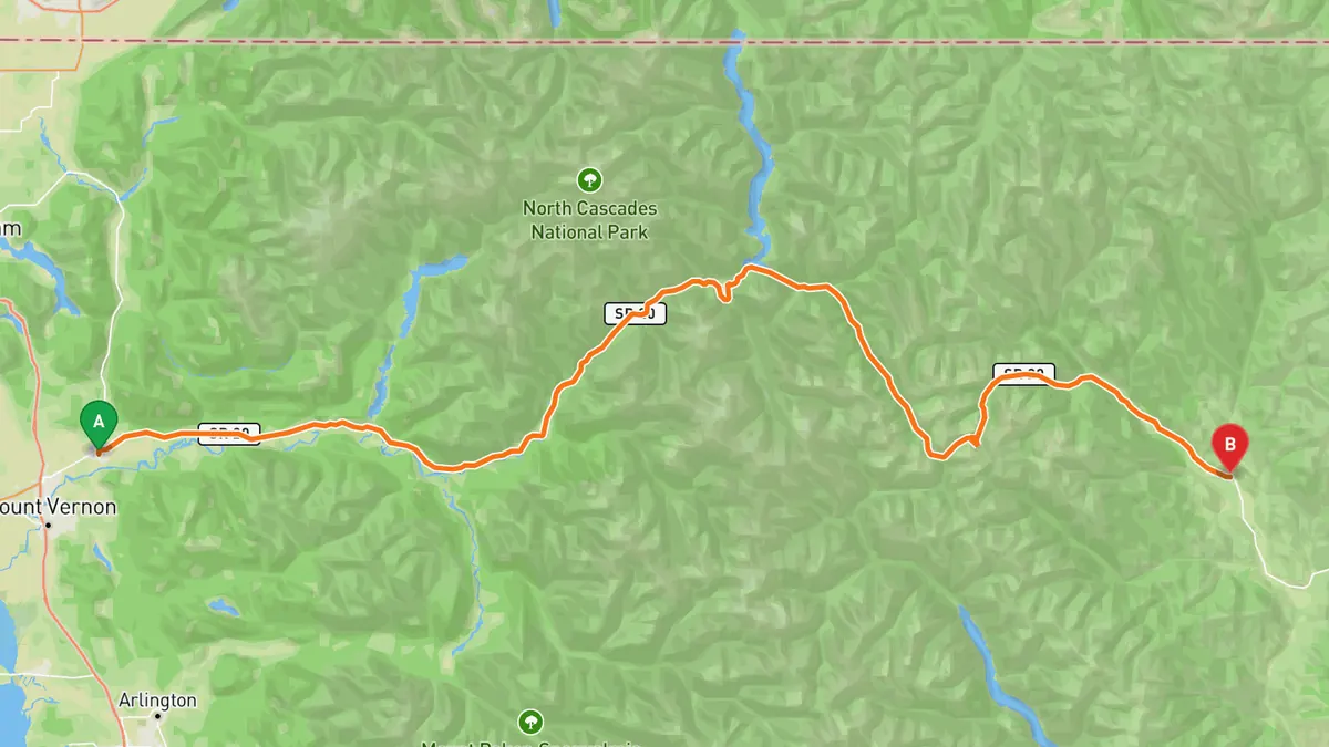
Sources: Length · High point · Best time. Drive time is the route time for the mapped route without stops, from Mapbox.
2. Stevens Pass Greenway (US-2)
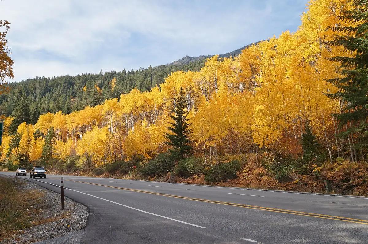

A scenic Highway 2 run following the Skykomish River up to 4,061-foot Stevens Pass through dense forest and roaring rivers.
Best time to go: Open year-round; Stevens Pass can close temporarily in heavy winter snow.
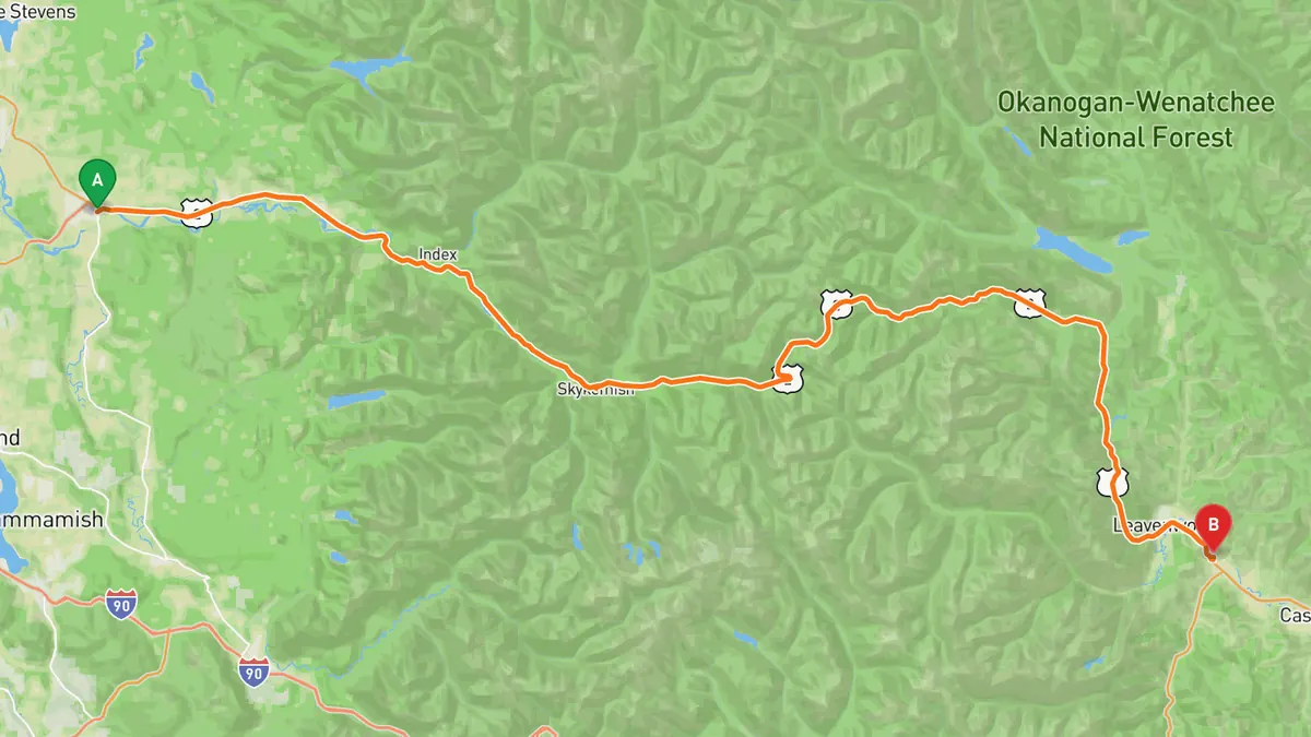
Sources: Length · High point · Best time. Drive time is the route time for the mapped route without stops, from Mapbox.
3. Chinook Pass Scenic Byway (SR-410)
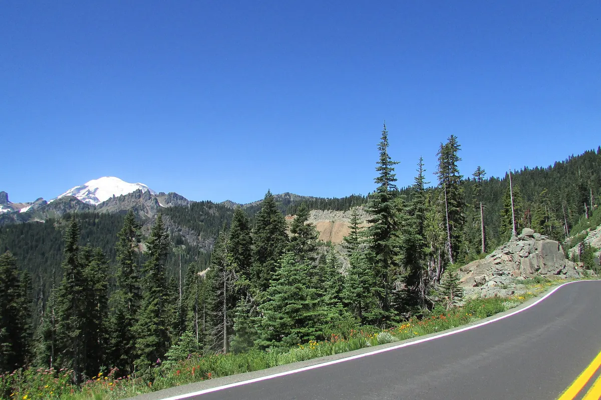

A byway, usually open mid-May to November, delivering some of the best up-close views of Mount Rainier's peaks along its climb over the pass.
Best time to go: Mid-May to early November; Chinook Pass usually closes in November and reopens in mid-May.
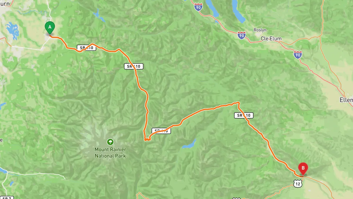
Sources: Length · High point · Best time. Drive time is the route time for the mapped route without stops, from Mapbox.
4. Cascade Loop
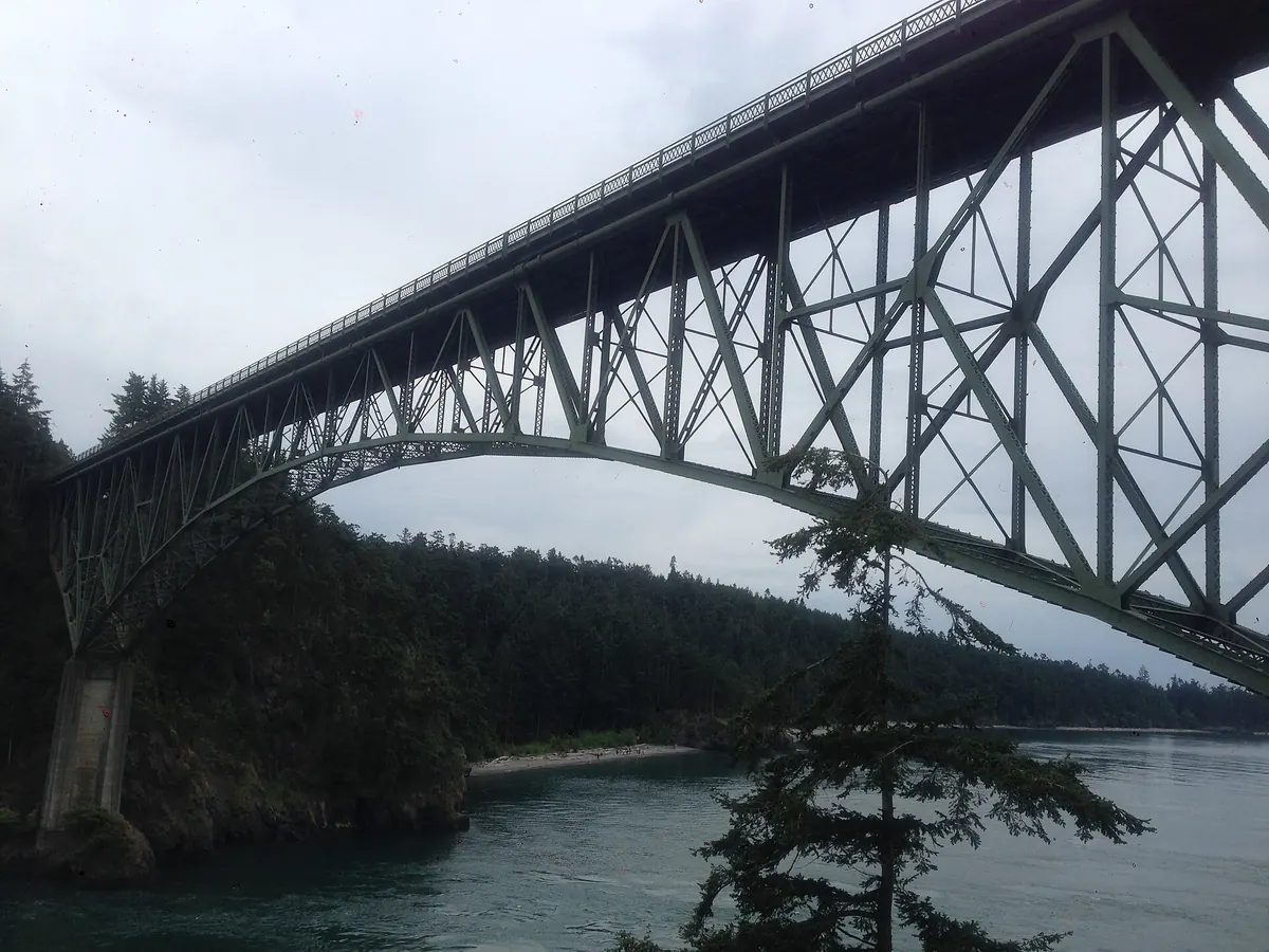

A 440-mile signature road trip stitching together passes, river valleys, and the Whidbey Scenic Isle Way into Washington's ultimate drive.
Best time to go: Late spring to fall; the SR-20 North Cascades section closes in winter, roughly late November to late April or early May.
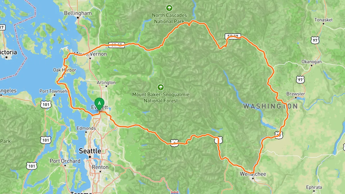
Sources: Length · High point · Best time. Drive time is the route time for the mapped route without stops, from Mapbox.
5. Mountain Loop Highway
A scenic road from Granite Falls to Darrington along the Stillaguamish River into the Cascade foothills, mixing forest tunnels with riverside curves.
Best time to go: Late spring to fall; a 14-mile section between the Deer Creek and Bedal gates closes for winter and reopens in spring.
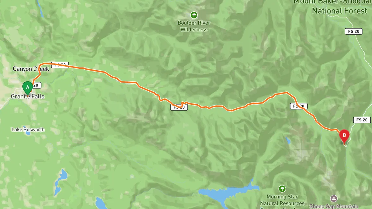
Sources: Length · High point · Best time. Drive time is the route time for the mapped route without stops, from Mapbox.
Track your next drive near Seattle
Open Road keeps every drive: the route on a map, the time and the distance. On iPhone and Android.


Questions, answered
- What are the best driving roads near Seattle?
- Top picks near Seattle: North Cascades Highway, Stevens Pass Greenway, Chinook Pass Scenic Byway, Cascade Loop, Mountain Loop Highway. Each one is here for the drive and the scenery.
- How long are the best driving roads near Seattle?
- North Cascades Highway: 140 mi. Stevens Pass Greenway: 90 mi. Chinook Pass Scenic Byway: about 92 mi. Cascade Loop: 440 mi. Mountain Loop Highway: 54 mi (part unpaved).
- Which driving road near Seattle climbs the highest?
- North Cascades Highway, with a high point of 5,475 ft at Washington Pass.
- When is the best time to drive these roads?
- North Cascades Highway: Late spring to fall; closed between mileposts 134 and 171 from about late November to late April or early May. Stevens Pass Greenway: Open year-round; Stevens Pass can close temporarily in heavy winter snow. Chinook Pass Scenic Byway: Mid-May to early November; Chinook Pass usually closes in November and reopens in mid-May. Cascade Loop: Late spring to fall; the SR-20 North Cascades section closes in winter, roughly late November to late April or early May. Mountain Loop Highway: Late spring to fall; a 14-mile section between the Deer Creek and Bedal gates closes for winter and reopens in spring.
- What's the best app to track a drive near Seattle?
- Open Road records your drive and saves it to your drive log with the route on a map, the distance and the time. It is on iPhone and Android.