Best driving roads near Minneapolis
The Twin Cities sit on fairly gentle terrain, so the drives here follow rivers and lakes rather than mountains. The main ones follow the Mississippi bluffs along Lake Pepin, the St. Croix valley, and Lake Superior's North Shore beyond Duluth.
1. Great River Road (WIS 35), Prescott to Alma
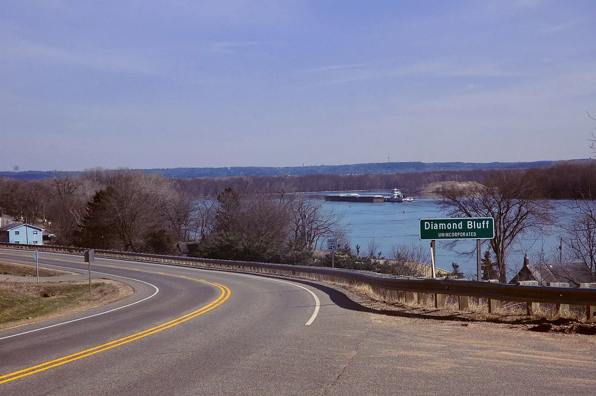

River road along the Wisconsin shore of Lake Pepin, under the bluffs.
Wisconsin Highway 35 runs as the Great River Road from Prescott, at the mouth of the St. Croix, south through Diamond Bluff, Bay City, Maiden Rock and Stockholm. It follows Lake Pepin, 22 miles long, past Pepin and Nelson to Alma.
Best time to go: Open year round. Check 511 Wisconsin road conditions in winter.
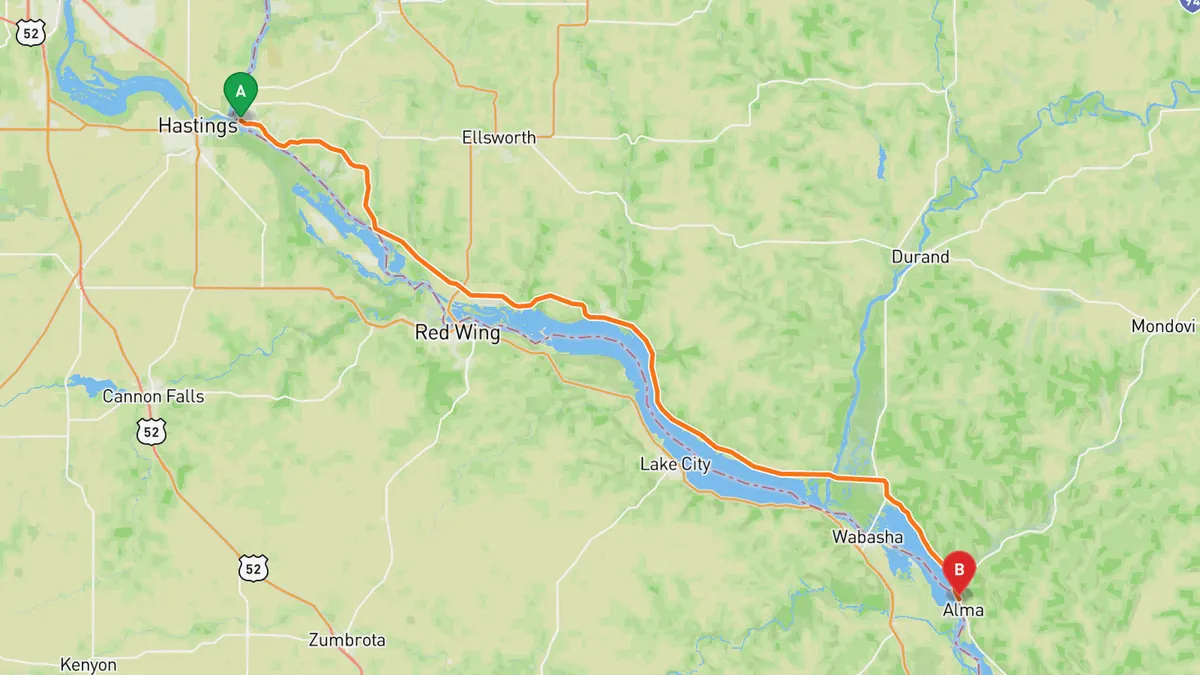
Sources: Best time. Along the way 1 · Along the way 2. Drive time is the route time for the mapped route without stops, from Mapbox.
2. Great River Road (US 61), Red Wing to Wabasha
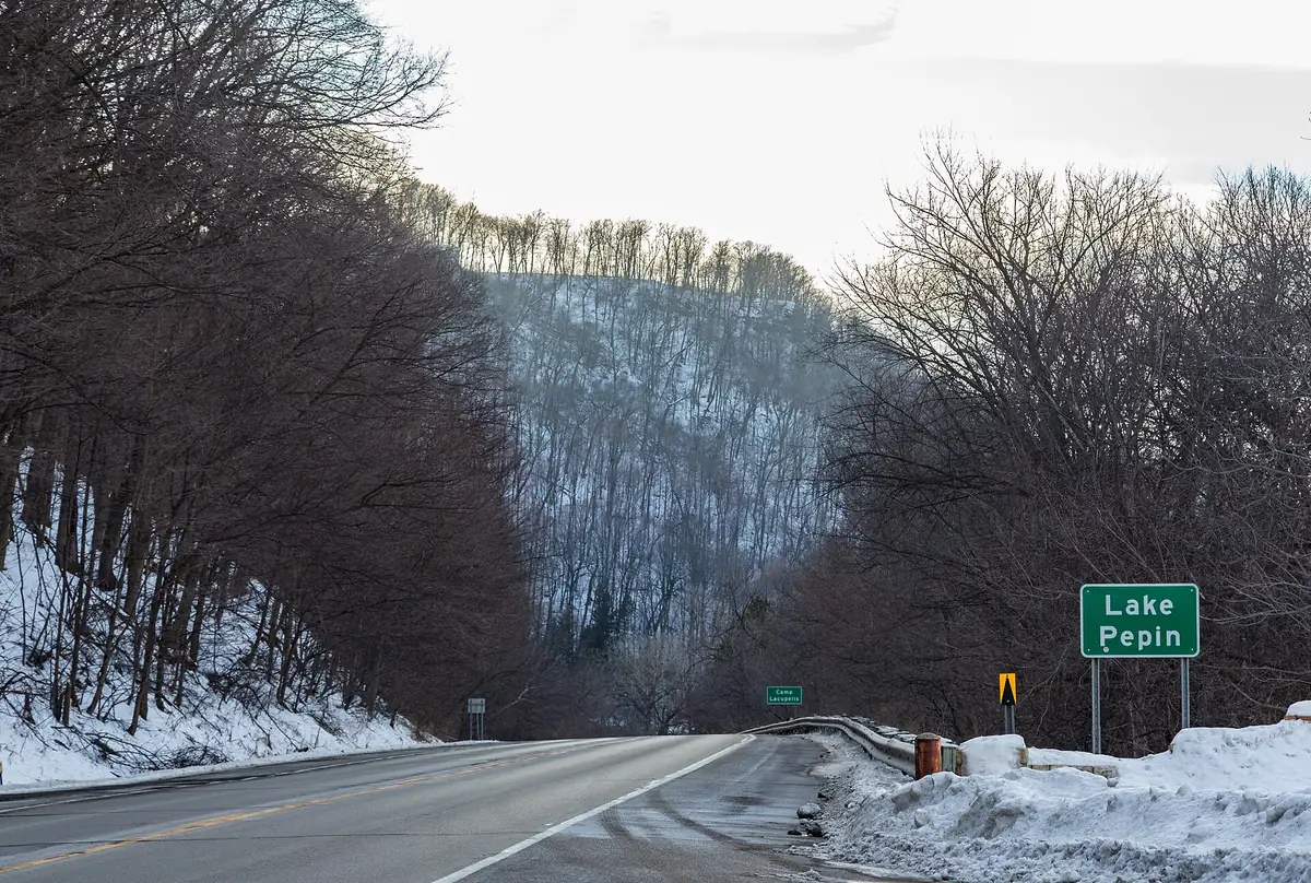

Two-lane highway along the Minnesota shore of Lake Pepin.
US 61 follows the Mississippi south from Red Wing as a two-lane road to Wabasha, running along the Minnesota shore of Lake Pepin. It passes Frontenac State Park, Lake City, the largest town on the lake, and Reads Landing.
Best time to go: Open year round. Check 511 Minnesota road conditions in winter.
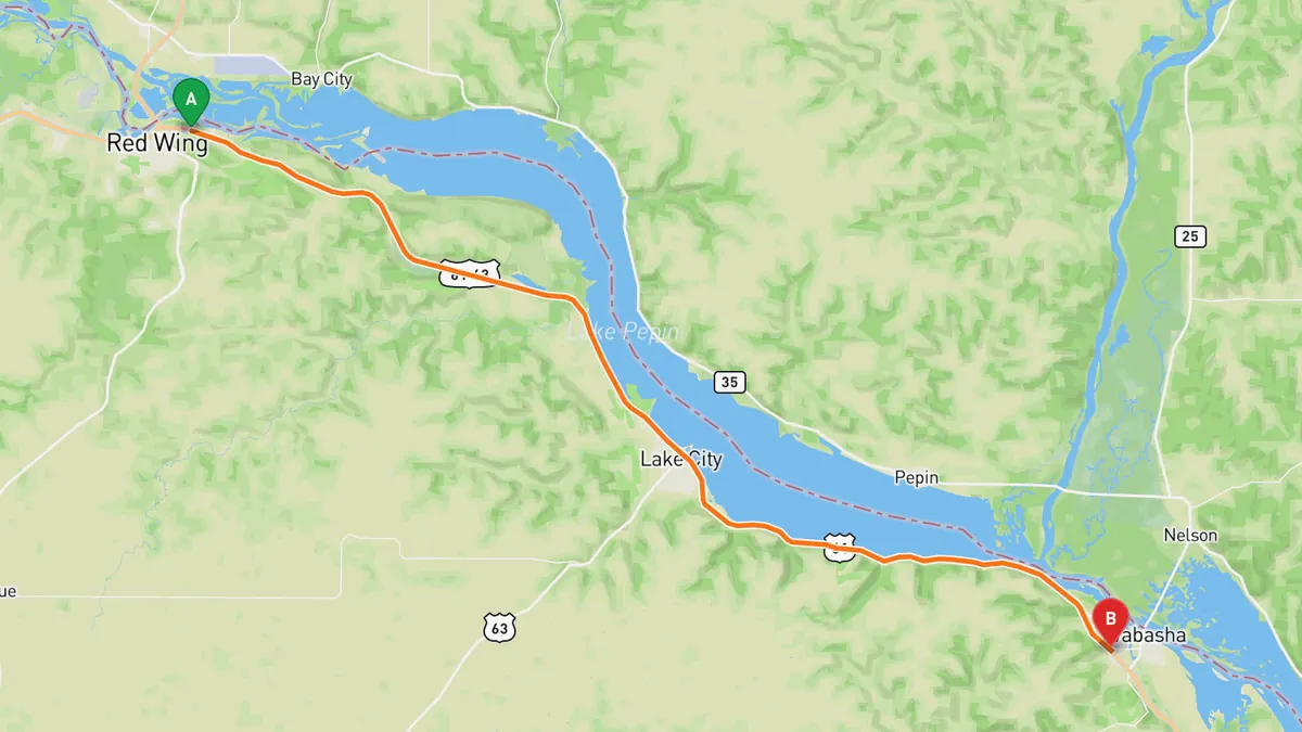
Sources: Best time. Along the way 1 · Along the way 2. Drive time is the route time for the mapped route without stops, from Mapbox.
3. St. Croix Scenic Byway (MN 95), Stillwater to Taylors Falls
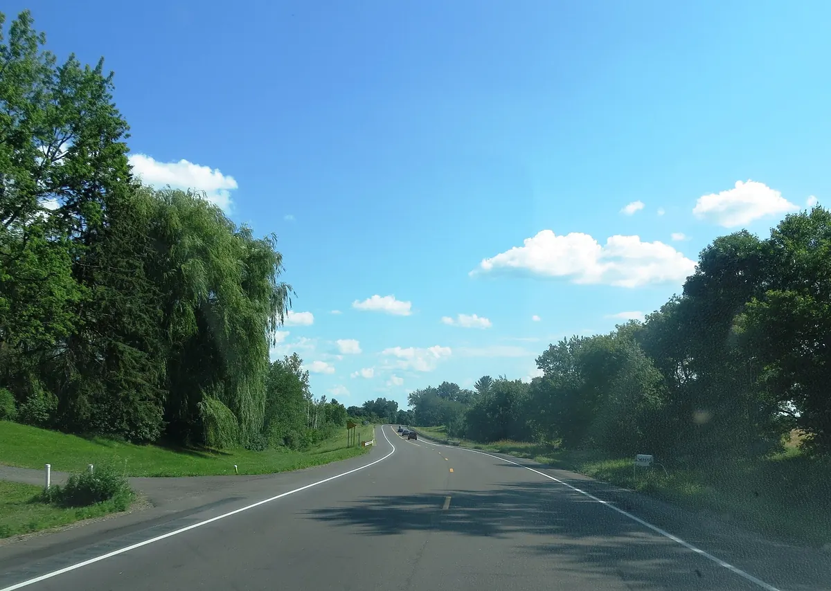

Mostly two-lane highway following the St. Croix River past state parks.
Minnesota Highway 95, the St. Croix Trail, runs north from Stillwater parallel to the St. Croix River to Taylors Falls. Along this stretch it passes near William O'Brien State Park and reaches Interstate Park at Taylors Falls.
Best time to go: Open year round. Check 511 Minnesota road conditions in winter.
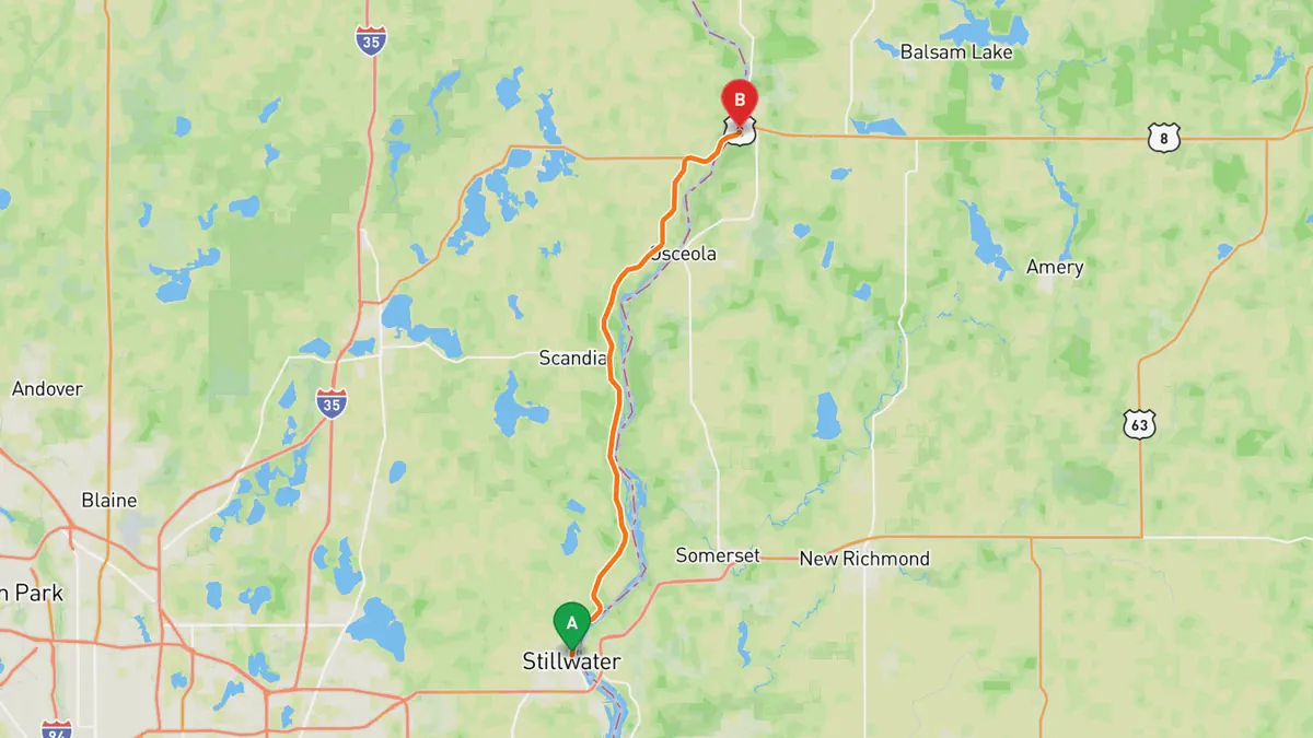
Sources: Length · Best time. Along the way 1 · Along the way 2. Drive time is the route time for the mapped route without stops, from Mapbox.
4. North Shore Scenic Drive, Duluth to Split Rock
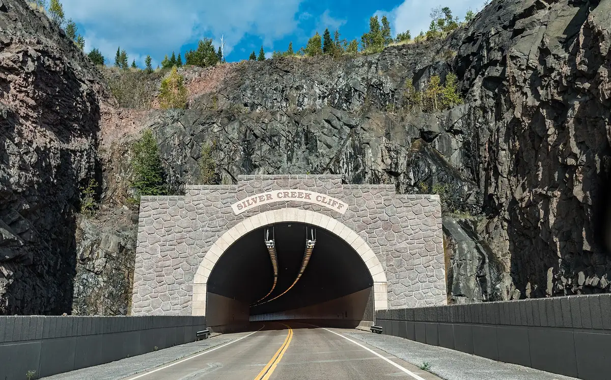

Follows Lake Superior's rocky North Shore, linking state parks and Split Rock Lighthouse. Duluth is about 2.5 to 3 hours from the Twin Cities, so make it a long day or a weekend.
The North Shore Scenic Drive leaves Duluth on County Road 61, the old shore road, then joins Highway 61 at Two Harbors and runs beside Lake Superior. It passes Gooseberry Falls State Park and Split Rock Lighthouse State Park, and the full byway continues to Grand Portage near the Canadian border.
Best time to go: Open year round. Check 511 Minnesota road conditions in winter.
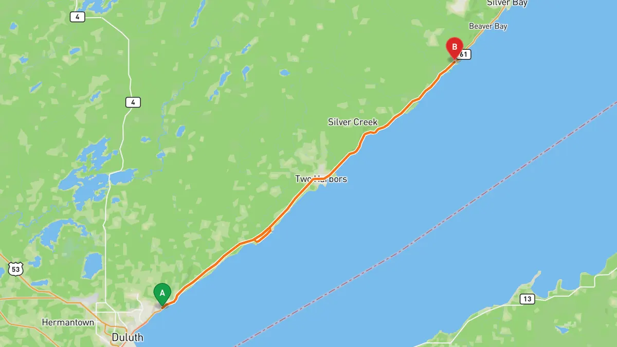
Sources: Length · Best time. Along the way 1 · Along the way 2. Drive time is the route time for the mapped route without stops, from Mapbox.
5. Apple Blossom Drive Scenic Byway
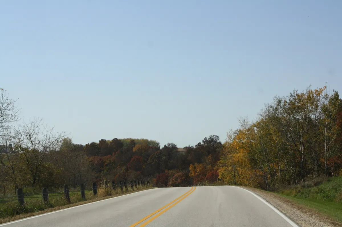

County road past apple orchards, with access to Great River Bluffs State Park. La Crescent is about 2.5 to 3 hours from the Twin Cities, so make it a long day.
Apple Blossom Drive Scenic Byway runs 19 miles from La Crescent to US 61 north of Donehower, meeting the Great River Road at both ends. Many apple orchards line the route, and it gives access to Great River Bluffs State Park.
Best time to go: Open year round. Check 511 Minnesota road conditions in winter.
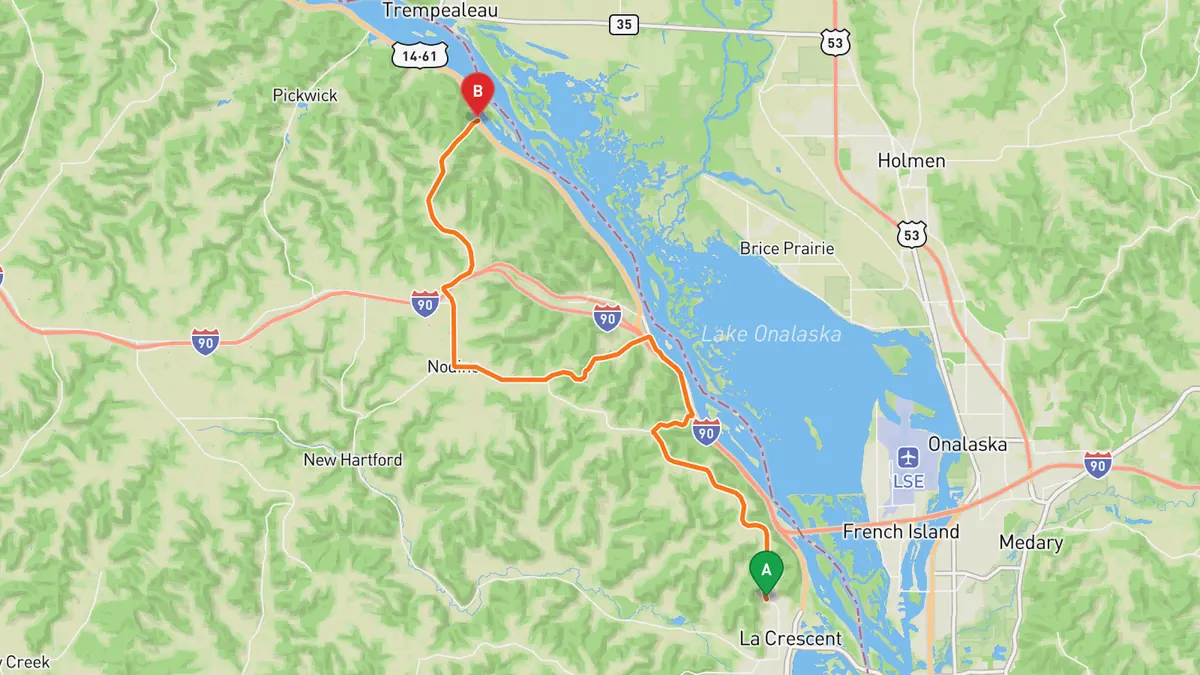
Sources: Length · Best time. Along the way. Drive time is the route time for the mapped route without stops, from Mapbox.
Track your next drive near Minneapolis
Open Road keeps every drive: the route on a map, the time and the distance. On iPhone and Android.


Questions, answered
- What are the best driving roads near Minneapolis?
- Top picks near Minneapolis: Great River Road, Prescott to Alma, Great River Road, Red Wing to Wabasha, St. Croix Scenic Byway, Stillwater to Taylors Falls, North Shore Scenic Drive, Duluth to Split Rock, Apple Blossom Drive Scenic Byway. Each one is here for the drive and the scenery.
- How long are the best driving roads near Minneapolis?
- St. Croix Scenic Byway, Stillwater to Taylors Falls: 124 miles for the full byway, Hastings to Sandstone. North Shore Scenic Drive, Duluth to Split Rock: 154 miles for the full byway, Duluth to Grand Portage. Apple Blossom Drive Scenic Byway: 19 miles.
- When is the best time to drive these roads?
- Great River Road, Prescott to Alma: Open year round. Check 511 Wisconsin road conditions in winter. Great River Road, Red Wing to Wabasha: Open year round. Check 511 Minnesota road conditions in winter. St. Croix Scenic Byway, Stillwater to Taylors Falls: Open year round. Check 511 Minnesota road conditions in winter. North Shore Scenic Drive, Duluth to Split Rock: Open year round. Check 511 Minnesota road conditions in winter. Apple Blossom Drive Scenic Byway: Open year round. Check 511 Minnesota road conditions in winter.
- What's the best app to track a drive near Minneapolis?
- Open Road records your drive and saves it to your drive log with the route on a map, the distance and the time. It is on iPhone and Android.