Best driving roads near New York City
The closest real driving roads are an hour north in the Hudson Highlands, where Storm King Highway, Seven Lakes Drive and the Bear Mountain summit road wind through state parks. About 90 minutes out, the Delaware River valley on the New York, New Jersey and Pennsylvania line has the Hawk's Nest cliffs and Old Mine Road.
1. Storm King Highway (NY 218)
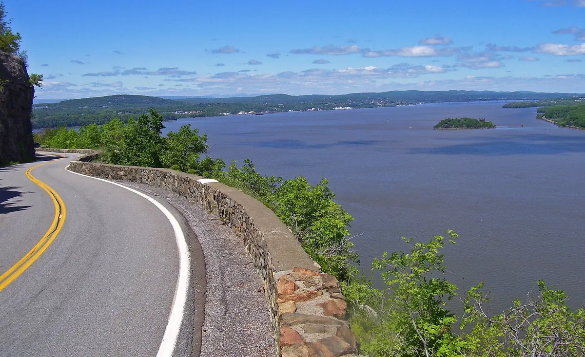

A narrow cliffside road cut into Storm King Mountain above the Hudson.
NY 218 loops off US 9W between Highland Falls and Cornwall-on-Hudson, and its northern part is the Storm King Highway cut into the side of Storm King Mountain above the Hudson. The road runs through Storm King State Park and has gates at both ends of the cliff section.
Best time to go: Spring through fall in good weather; the cliff section can be gated and closed when rockslide danger is high.
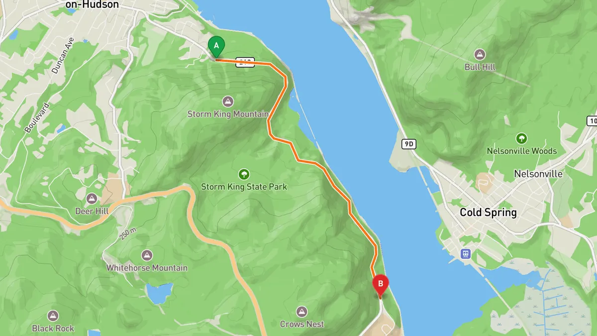
Sources: Best time. Along the way. Drive time is the route time for the mapped route without stops, from Mapbox.
2. Seven Lakes Drive
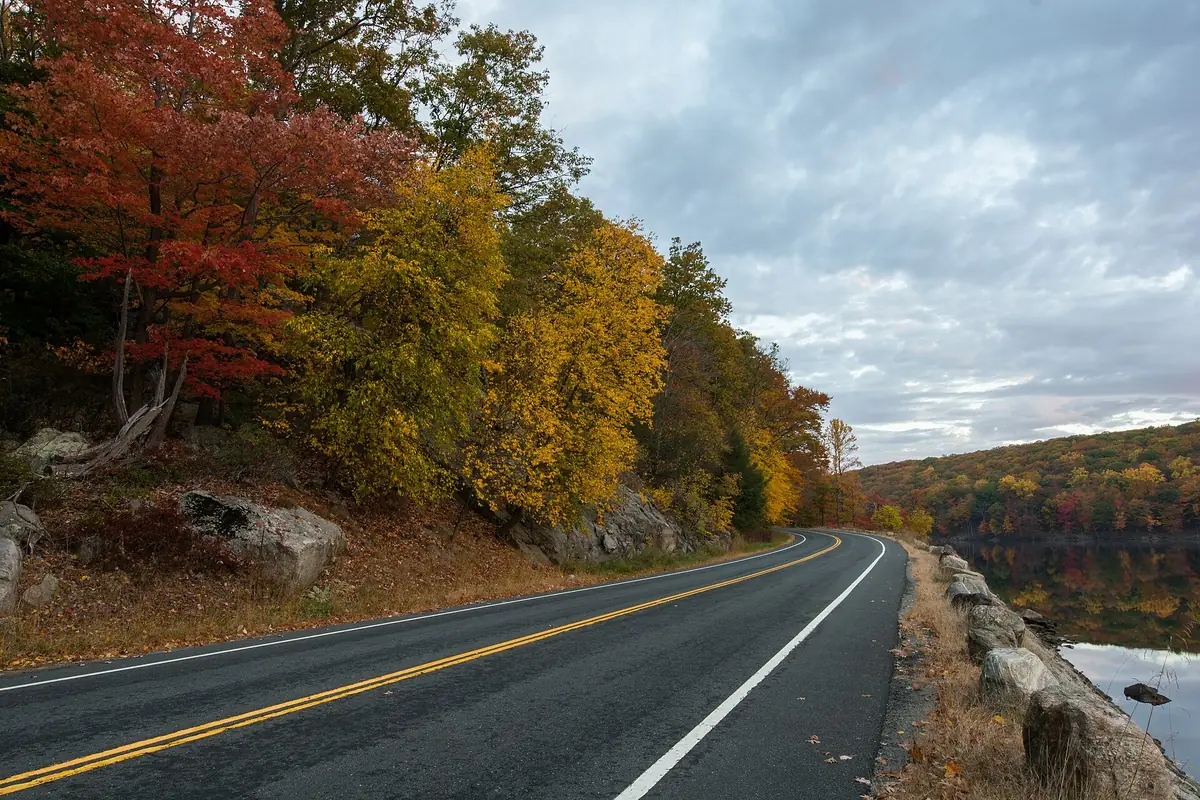

A parkway past seven lakes through Harriman and Bear Mountain state parks.
Seven Lakes Drive runs just under 18 miles from NY 17 in Sloatsburg northeast to US 9W and US 202 near the Bear Mountain Bridge, mostly inside Harriman and Bear Mountain state parks. It passes Lake Sebago, Lake Kanawauke, Lake Skannatati, Lake Askoti, Lake Tiorati, Silver Mine Lake and Queensboro Lake.
Best time to go: April through November; sections of the drive close for the winter from December through March.
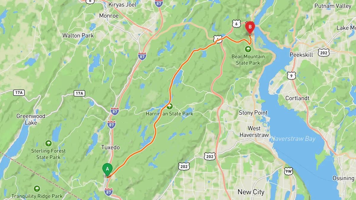
Sources: Length · Best time. Along the way. Drive time is the route time for the mapped route without stops, from Mapbox.
3. Perkins Memorial Drive
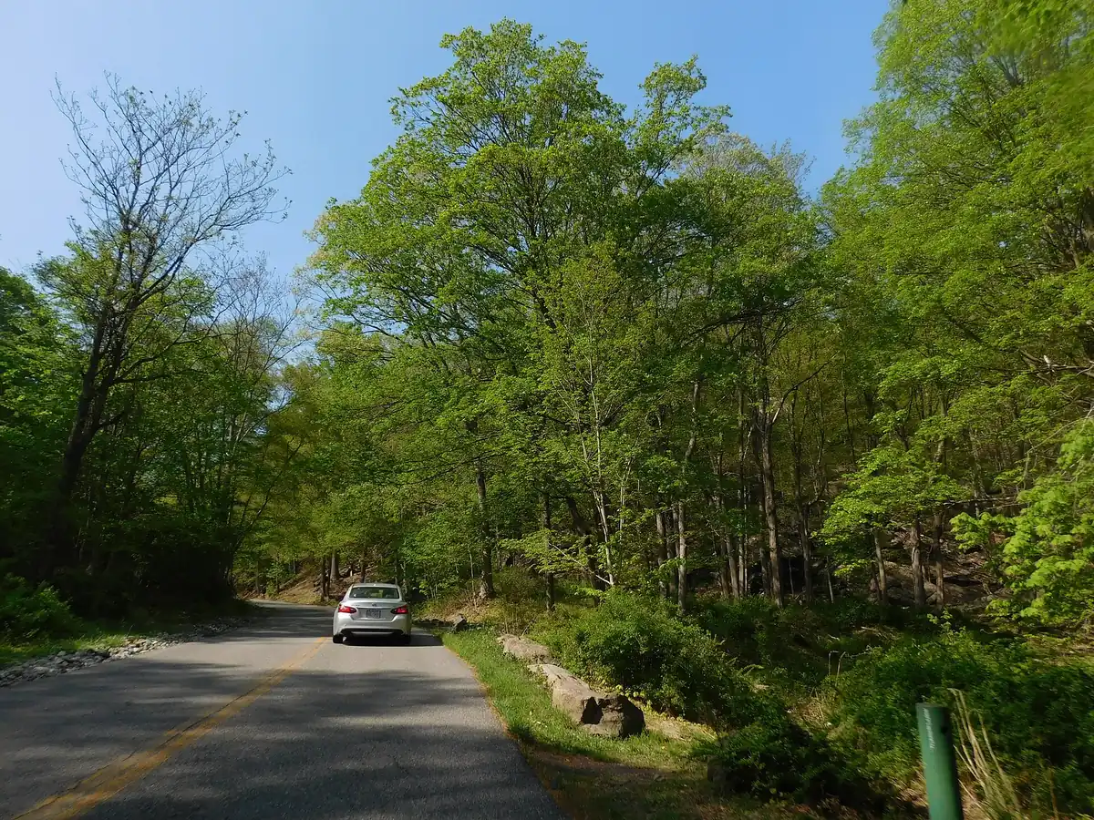

A short paved climb to the Bear Mountain summit and Perkins Memorial Tower.
Perkins Memorial Drive leaves Seven Lakes Drive in Bear Mountain State Park and climbs to the summit of Bear Mountain. The summit has roadside viewpoints, a picnic area and the Perkins Memorial Tower, with views over the park, the Hudson Highlands and Harriman State Park.
Best time to go: April 1 to November 30, weather permitting; the drive and Perkins Memorial Tower are closed in winter.
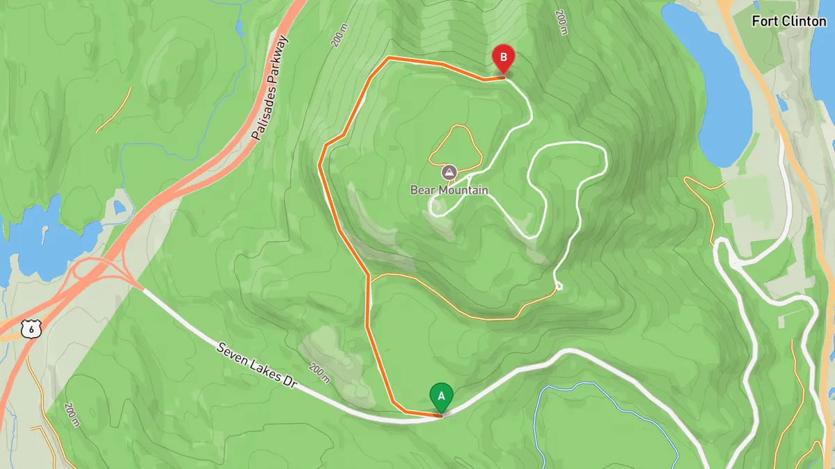
Sources: High point · Best time. Along the way 1 · Along the way 2. Drive time is the route time for the mapped route without stops, from Mapbox.
4. Hawk's Nest (NY 97)
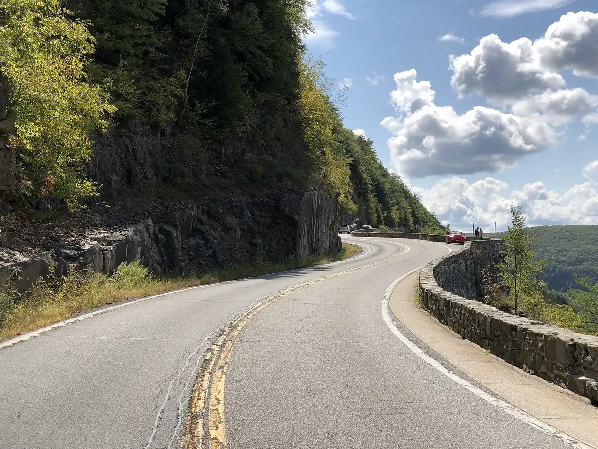

Tight bends on a cliff shelf above the Delaware River north of Port Jervis.
NY 97 leaves Port Jervis heading north along the Delaware River and climbs onto the cliffs at Hawk's Nest, a tightly winding stretch a few miles out of town with overlooks above the river. It then follows the river into Sullivan County toward Barryville, and the full route continues to Hancock.
Best time to go: Open all year as a state highway; Hawk's Nest has overlooks to stop at above the river.
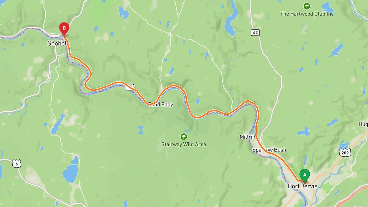
Sources: Best time. Along the way. Drive time is the route time for the mapped route without stops, from Mapbox.
5. Old Mine Road
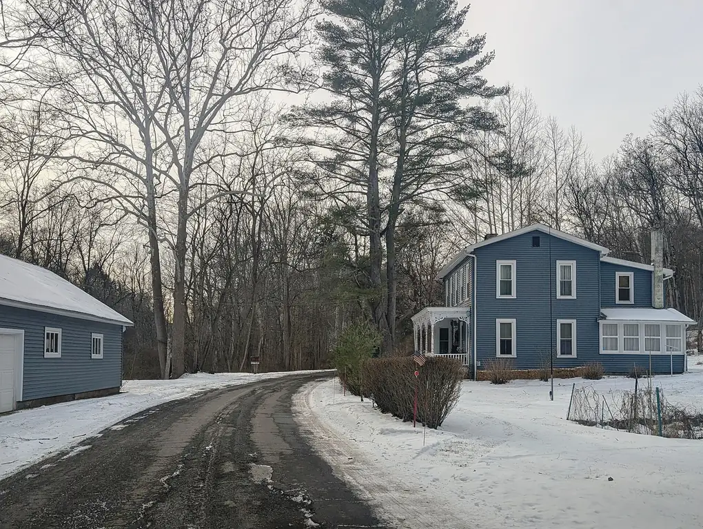

One of the oldest commercial roads in the country, through the Delaware Water Gap.
Old Mine Road runs north from the Delaware Water Gap through the New Jersey side of the national recreation area, past Worthington State Forest, Millbrook Village and Flatbrookville. The NPS says it still keeps much of the feel of 100 years ago and is a popular driving and biking route.
Best time to go: Spring through fall; check the NPS conditions page first, the section north of Route 206 to Jager Road is closed for repaving and a bridge job near Van Campens Glen can cut it to one lane.
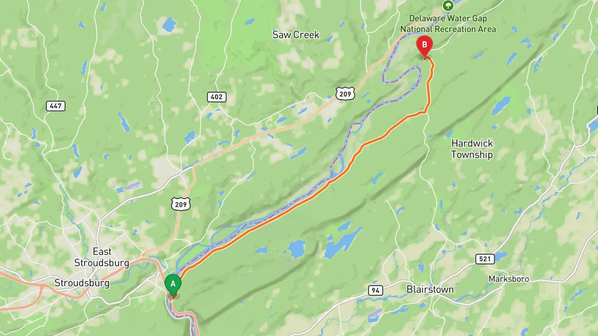
Sources: Best time. Along the way 1 · Along the way 2. Drive time is the route time for the mapped route without stops, from Mapbox.
Track your next drive near New York City
Open Road keeps every drive: the route on a map, the time and the distance. On iPhone and Android.


Questions, answered
- What are the best driving roads near New York City?
- Top picks near New York City: Storm King Highway, Seven Lakes Drive, Perkins Memorial Drive, Hawk's Nest, Old Mine Road. Each one is here for the drive and the scenery.
- How long are the best driving roads near New York City?
- Seven Lakes Drive: 17.9 miles.
- Which driving road near New York City climbs the highest?
- Perkins Memorial Drive, with a high point of 1,289 ft at the Bear Mountain summit.
- When is the best time to drive these roads?
- Storm King Highway: Spring through fall in good weather; the cliff section can be gated and closed when rockslide danger is high. Seven Lakes Drive: April through November; sections of the drive close for the winter from December through March. Perkins Memorial Drive: April 1 to November 30, weather permitting; the drive and Perkins Memorial Tower are closed in winter. Hawk's Nest: Open all year as a state highway; Hawk's Nest has overlooks to stop at above the river. Old Mine Road: Spring through fall; check the NPS conditions page first, the section north of Route 206 to Jager Road is closed for repaving and a bridge job near Van Campens Glen can cut it to one lane.
- What's the best app to track a drive near New York City?
- Open Road records your drive and saves it to your drive log with the route on a map, the distance and the time. It is on iPhone and Android.