Best driving roads near Detroit
The land around Detroit is flat, so these drives are about water and trees, not climbs. The picks follow Lake Huron, the St. Clair River and the Huron and Rouge rivers, plus the lake country of the Irish Hills.
1. M-25 Thumb Coast
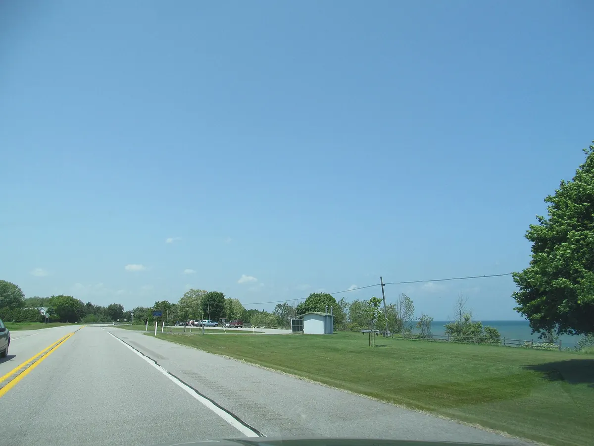

Two-lane road that keeps Lake Huron in sight around the tip of the Thumb.
M-25 arcs around the Thumb from Port Huron to Bay City, mostly within sight of Lake Huron and Saginaw Bay, as part of the Lake Huron Circle Tour. It passes Lakeport State Park, Lexington, Port Sanilac, Harbor Beach, Port Austin and Caseville.
Best time to go: Open year round; summer is beach season in the shore towns.
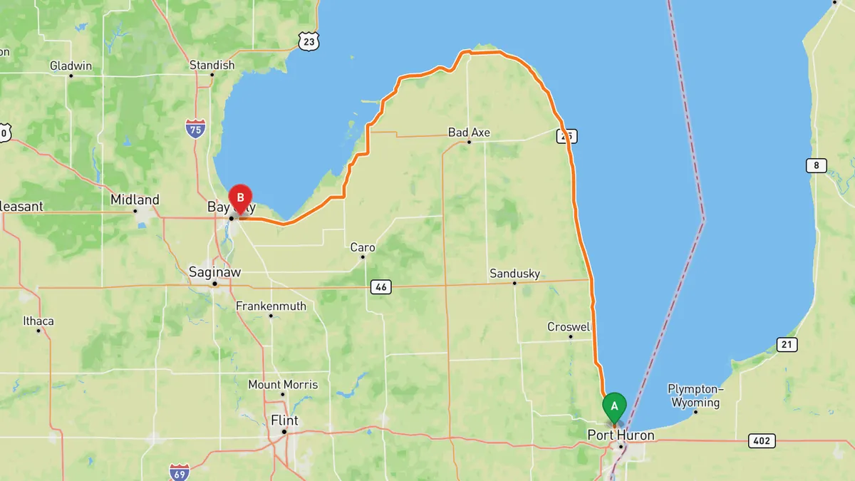
Sources: Length · Best time. Along the way. Drive time is the route time for the mapped route without stops, from Mapbox.
2. M-29 River Road (St. Clair River)
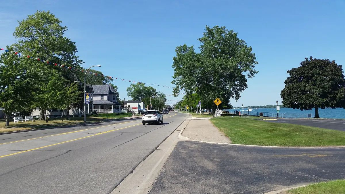

Runs along Lake St. Clair and the St. Clair River, Canada across the water.
M-29 follows the northwest shore of Lake St. Clair around Anchor Bay, then the west bank of the St. Clair River from Algonac to Marysville. It passes New Baltimore, the Harsens Island ferry docks, Algonac State Park, Marine City and St. Clair, within a mile of Ontario.
Best time to go: Open year round.
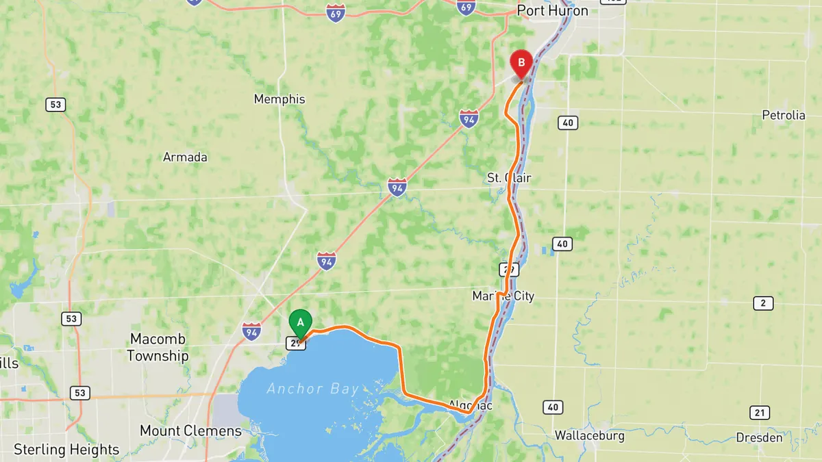
Sources: Length. Along the way. Drive time is the route time for the mapped route without stops, from Mapbox.
3. Edward N. Hines Drive
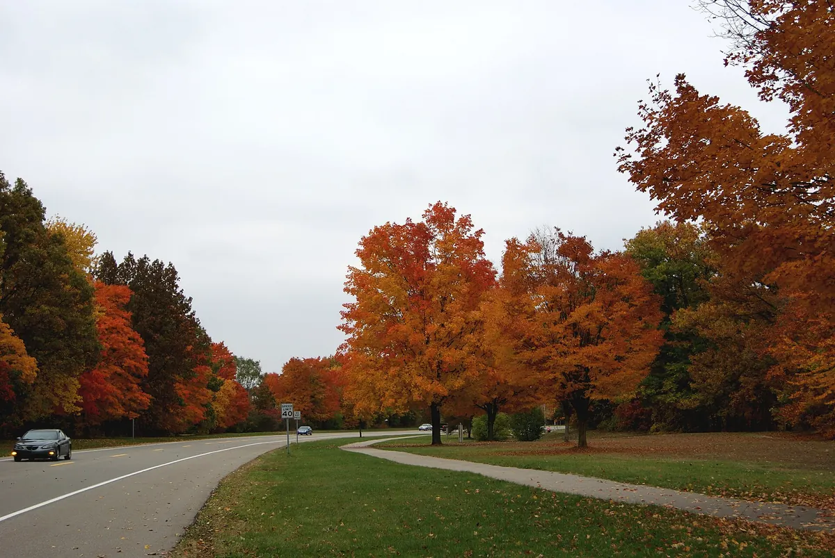

Parkway along the Middle Rouge River through 25 park areas and four lakes.
Hines Drive runs 17.5 miles through Hines Park, a linear park on the Middle River Rouge from Ford Road in Dearborn to 7 Mile Road in Northville. It links 25 recreation areas, passes Nankin Mills and four lakes, and runs beside the Hines Park Trail.
Best time to go: Open year round, but on summer Saturdays the stretch from Nankin Mills to Outer Drive closes to cars, and heavy rain can flood parts of the park. Check Wayne County Parks before you go.
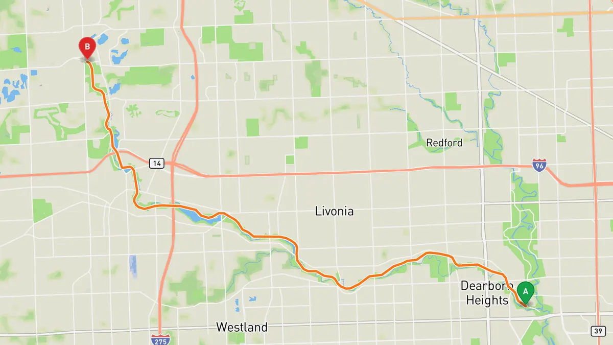
Sources: Length · Best time. Along the way. Drive time is the route time for the mapped route without stops, from Mapbox.
4. US 12 through the Irish Hills
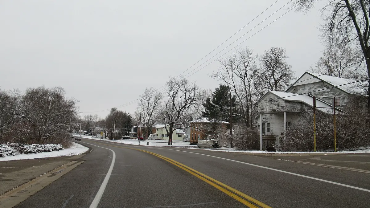

Two-lane stretch past small lakes and Hayes State Park in the Irish Hills.
This stretch of US 12, part of the US 12 Heritage Trail, runs west from Clinton through the Irish Hills region of Lenawee County to Somerset Center. It meanders past several small lakes, Hayes State Park at M-124, Cambridge Junction near Michigan International Speedway, and Lake LeAnn.
Best time to go: Open year round.
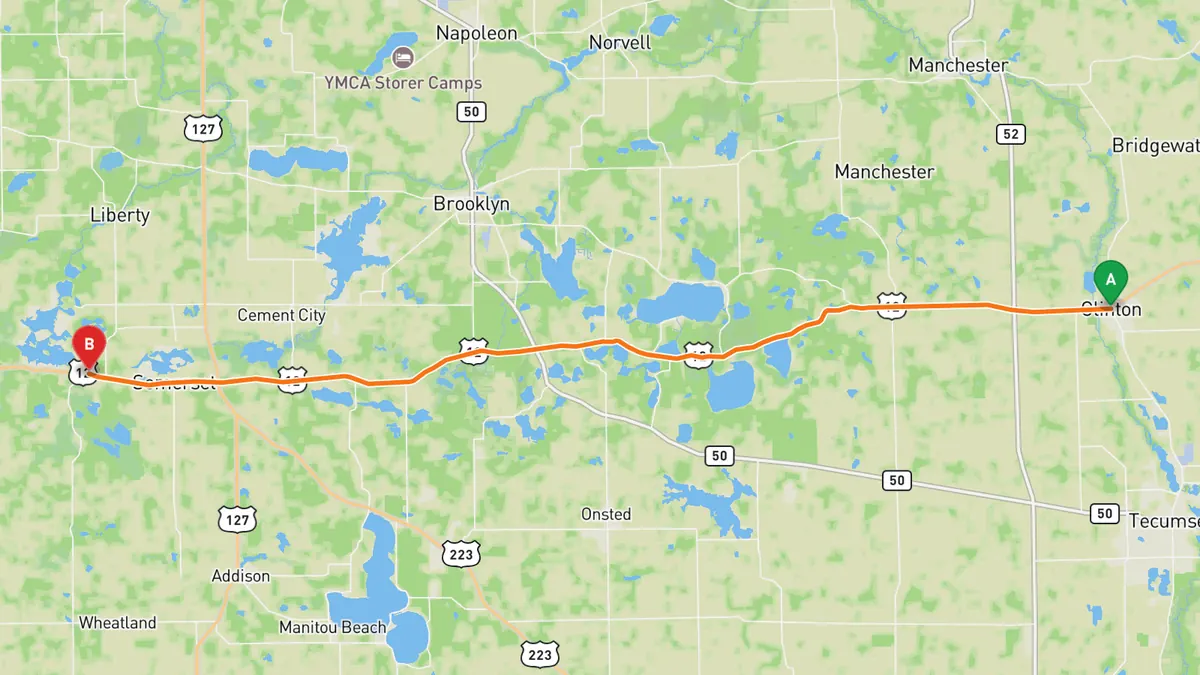
Sources: Along the way. Drive time is the route time for the mapped route without stops, from Mapbox.
5. Huron River Drive (Ann Arbor to Dexter)
Narrow two-lane road that follows the Huron River between Ann Arbor and Dexter.
Huron River Drive runs northwest from Ann Arbor along the Huron River toward Dexter. It passes Delhi Metropark and Dexter-Huron Metropark, and the Metroparks call it one of the great cycling routes in Michigan.
Best time to go: Open year round; a popular cycling route, so expect riders.
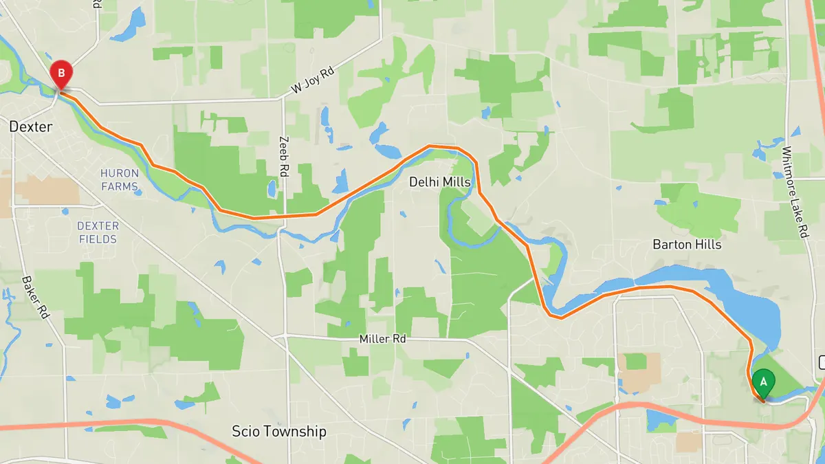
Sources: Best time. Along the way 1 · Along the way 2. Drive time is the route time for the mapped route without stops, from Mapbox.
Track your next drive near Detroit
Open Road keeps every drive: the route on a map, the time and the distance. On iPhone and Android.


Questions, answered
- What are the best driving roads near Detroit?
- Top picks near Detroit: M-25 Thumb Coast, M-29 River Road, Edward N. Hines Drive, US 12 through the Irish Hills, Huron River Drive. Each one is here for the drive and the scenery.
- How long are the best driving roads near Detroit?
- M-25 Thumb Coast: 148 miles, Port Huron to Bay City. M-29 River Road: 42 miles, Chesterfield Township to Marysville. Edward N. Hines Drive: 17.5 miles, Northville to Dearborn.
- When is the best time to drive these roads?
- M-25 Thumb Coast: Open year round; summer is beach season in the shore towns. M-29 River Road: Open year round. Edward N. Hines Drive: Open year round, but on summer Saturdays the stretch from Nankin Mills to Outer Drive closes to cars, and heavy rain can flood parts of the park. Check Wayne County Parks before you go. US 12 through the Irish Hills: Open year round. Huron River Drive: Open year round; a popular cycling route, so expect riders.
- What's the best app to track a drive near Detroit?
- Open Road records your drive and saves it to your drive log with the route on a map, the distance and the time. It is on iPhone and Android.