Best driving roads near Miami
South Florida is flat, so these drives are about water and wetlands, not hills: the Everglades and Big Cypress to the west, and the bridges of the Keys to the south. Most are long, straight two-lane roads where the views are sawgrass, cypress and open water.
1. Overseas Highway (US 1), Key Largo to the Seven Mile Bridge
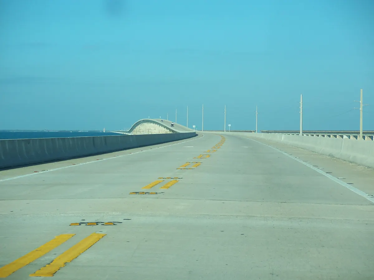

Two-lane stretches and long bridges over open water between the Keys. Key Largo is about 1 h 20 min from Miami and the Seven Mile Bridge about 3 hours, so make it a long day.
US 1 runs down Key Largo, Tavernier and the Islamorada keys, then crosses Long Key and Marathon on long bridges built partly on the old Overseas Railroad line. This drive ends at the far side of the Seven Mile Bridge, which is about 6.8 miles long.
Best time to go: Open year round. Check FL511 before you go during hurricane season, June 1 to November 30.
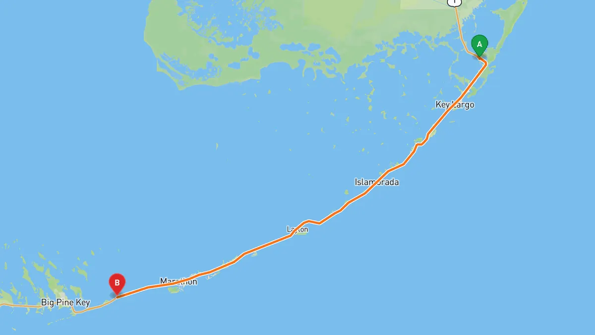
Sources: Length · Best time. Along the way 1 · Along the way 2. Drive time is the route time for the mapped route without stops, from Mapbox.
2. Card Sound Road (CR 905A)
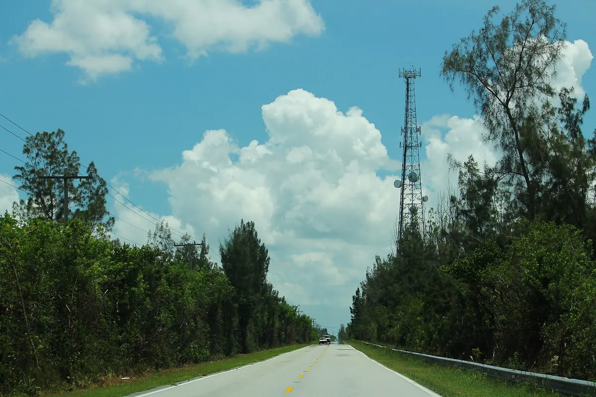

The other road into the Keys, over the high-rise Card Sound Bridge.
Card Sound Road leaves US 1 south of Florida City and runs southeast across south Miami-Dade County to the Card Sound Bridge, a high-rise toll causeway. Across the bridge it meets County Road 905 in North Key Largo, which connects back to the Overseas Highway.
Best time to go: Open year round. Check FL511 before you go during hurricane season, June 1 to November 30.
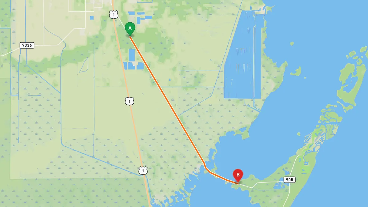
Sources: Best time. Along the way 1 · Along the way 2. Drive time is the route time for the mapped route without stops, from Mapbox.
3. Tamiami Trail (US 41) across the Everglades
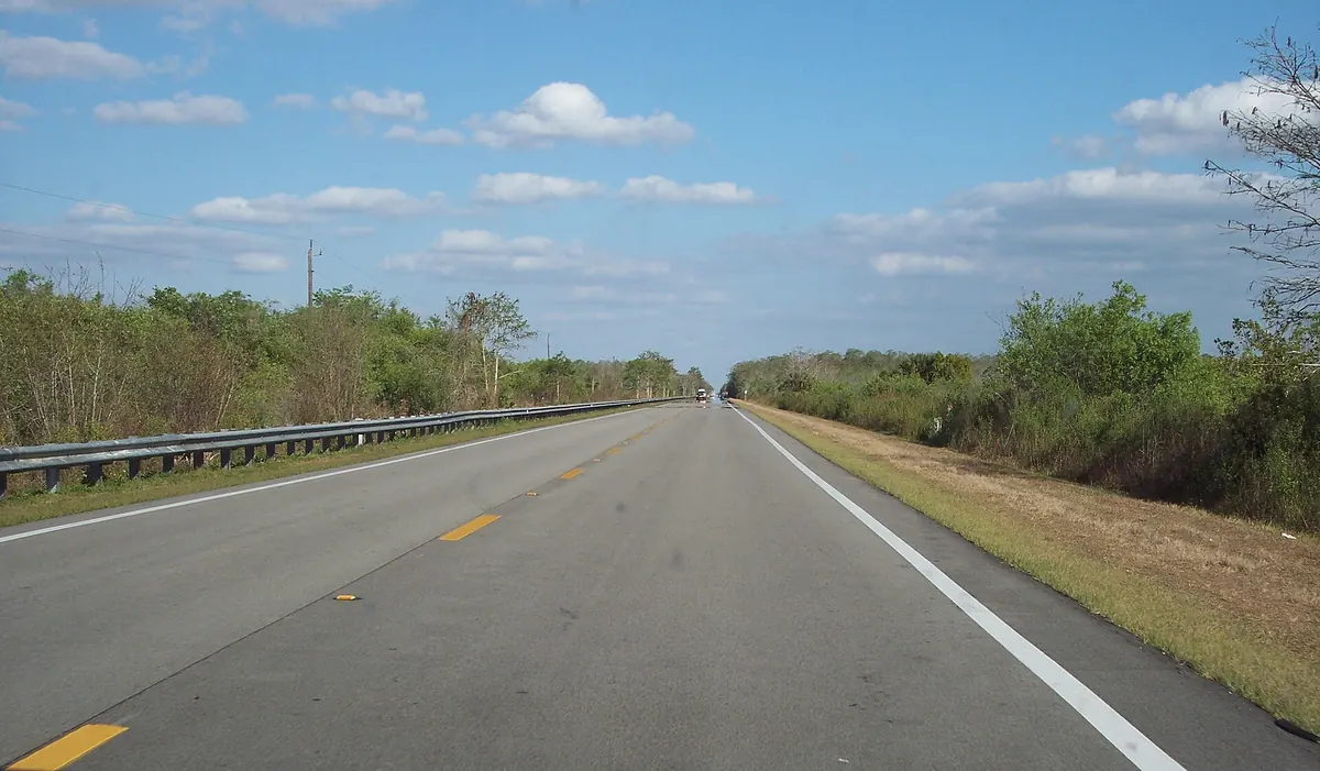

Crosses the Everglades along the northern edge of Everglades National Park.
From the west edge of Miami, US 41 heads west across the Everglades, forming part of the northern border of Everglades National Park and passing the Shark Valley entrance. It then crosses Big Cypress National Preserve to the SR 29 junction near Everglades City.
Best time to go: December to April, the dry season and the main season for wading birds; May to November is the wet season. Check NPS alerts before you go.
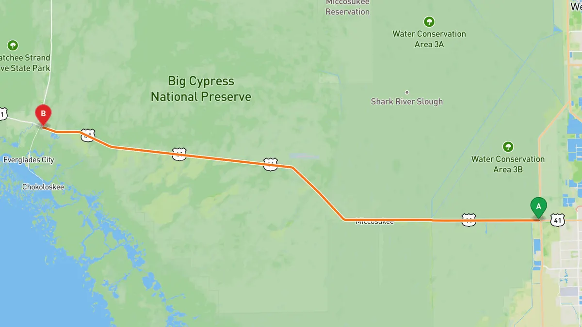
Sources: Best time. Along the way 1 · Along the way 2 · Along the way 3. Drive time is the route time for the mapped route without stops, from Mapbox.
4. Main Park Road, Everglades National Park
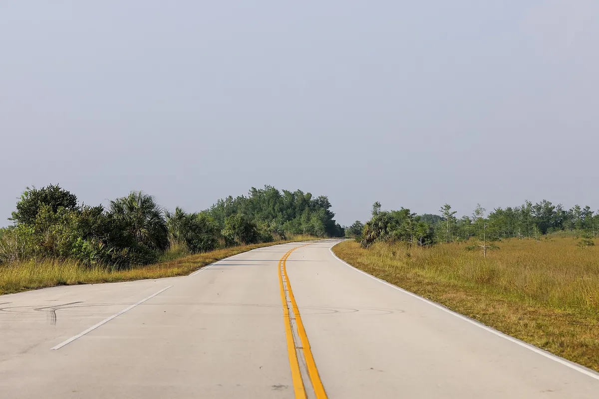

The only road from the park's main entrance to the coast at Flamingo.
Main Park Road starts at the Homestead entrance by the Ernest F. Coe Visitor Center and runs 38 miles to the Flamingo Visitor Center on the coast. It has narrow shoulders, with pull-offs and parking at interpretive trails and waysides along the way.
Best time to go: December to April, the dry season and the main season for wading birds; May to November is the wet season. Check NPS alerts before you go.
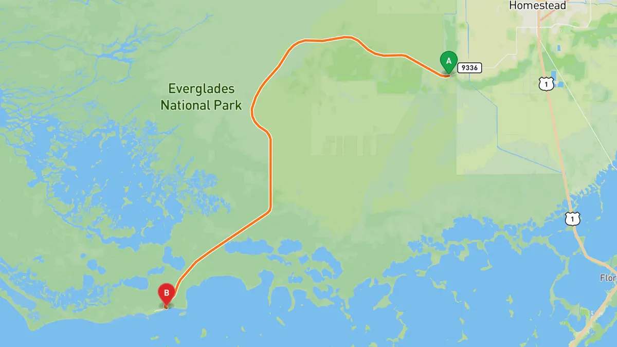
Sources: Length · Best time. Along the way 1 · Along the way 2. Drive time is the route time for the mapped route without stops, from Mapbox.
5. Loop Road (CR 94), Big Cypress National Preserve
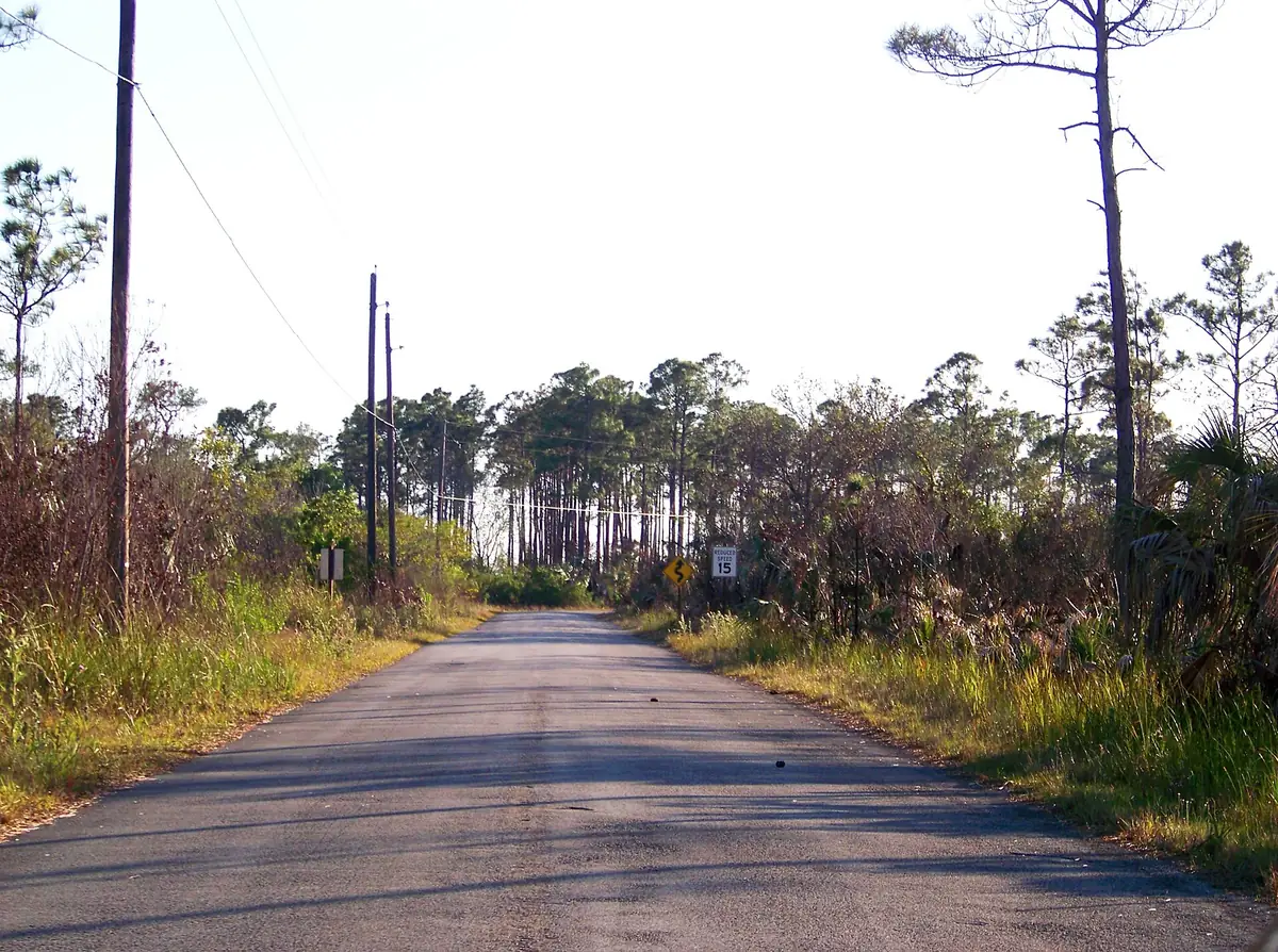

Slow, rough road through cypress swamp south of the Tamiami Trail.
Loop Road leaves the Tamiami Trail at Forty Mile Bend and runs about 24 miles south and west through cypress swamp before rejoining US 41 at Monroe Station. It passes the old town site of Pinecrest and spans Miami-Dade, Monroe and Collier counties.
Best time to go: Winter, when the cypress swamp is mostly dry; May to October is the wet season. The road is often potholed, so check Big Cypress road conditions before you go.
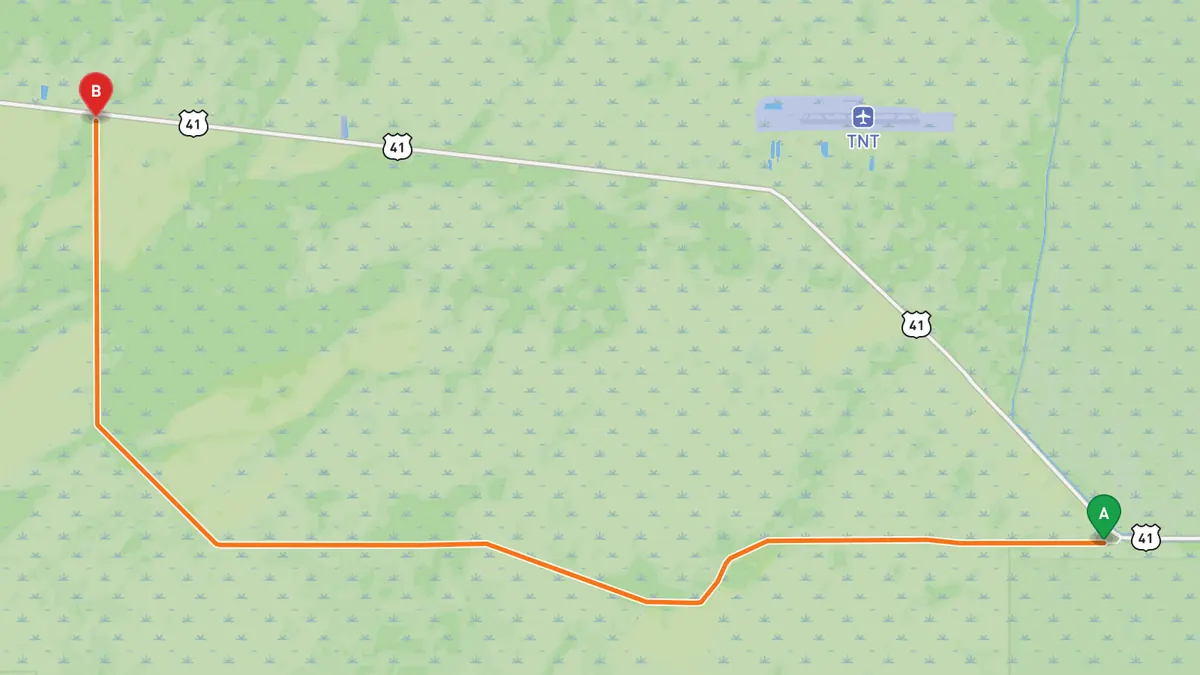
Sources: Length · Best time. Along the way 1 · Along the way 2 · Along the way 3. Drive time is the route time for the mapped route without stops, from Mapbox.
Track your next drive near Miami
Open Road keeps every drive: the route on a map, the time and the distance. On iPhone and Android.


Questions, answered
- What are the best driving roads near Miami?
- Top picks near Miami: Overseas Highway, Key Largo to the Seven Mile Bridge, Card Sound Road, Tamiami Trail across the Everglades, Main Park Road, Everglades National Park, Loop Road, Big Cypress National Preserve. Each one is here for the drive and the scenery.
- How long are the best driving roads near Miami?
- Overseas Highway, Key Largo to the Seven Mile Bridge: 113 miles for the full highway to Key West. Main Park Road, Everglades National Park: 38 miles from the main entrance to Flamingo. Loop Road, Big Cypress National Preserve: 24 miles.
- When is the best time to drive these roads?
- Overseas Highway, Key Largo to the Seven Mile Bridge: Open year round. Check FL511 before you go during hurricane season, June 1 to November 30. Card Sound Road: Open year round. Check FL511 before you go during hurricane season, June 1 to November 30. Tamiami Trail across the Everglades: December to April, the dry season and the main season for wading birds; May to November is the wet season. Check NPS alerts before you go. Main Park Road, Everglades National Park: December to April, the dry season and the main season for wading birds; May to November is the wet season. Check NPS alerts before you go. Loop Road, Big Cypress National Preserve: Winter, when the cypress swamp is mostly dry; May to October is the wet season. The road is often potholed, so check Big Cypress road conditions before you go.
- What's the best app to track a drive near Miami?
- Open Road records your drive and saves it to your drive log with the route on a map, the distance and the time. It is on iPhone and Android.