Best driving roads near Boston
Boston has real driving within two and a half hours: the Mohawk Trail and Jacob's Ladder climb into the Berkshires, and the Kancamagus crosses the White Mountains. Closer in, NH 1A and Old King's Highway on Cape Cod are slow shore roads.
1. Mohawk Trail (MA 2)
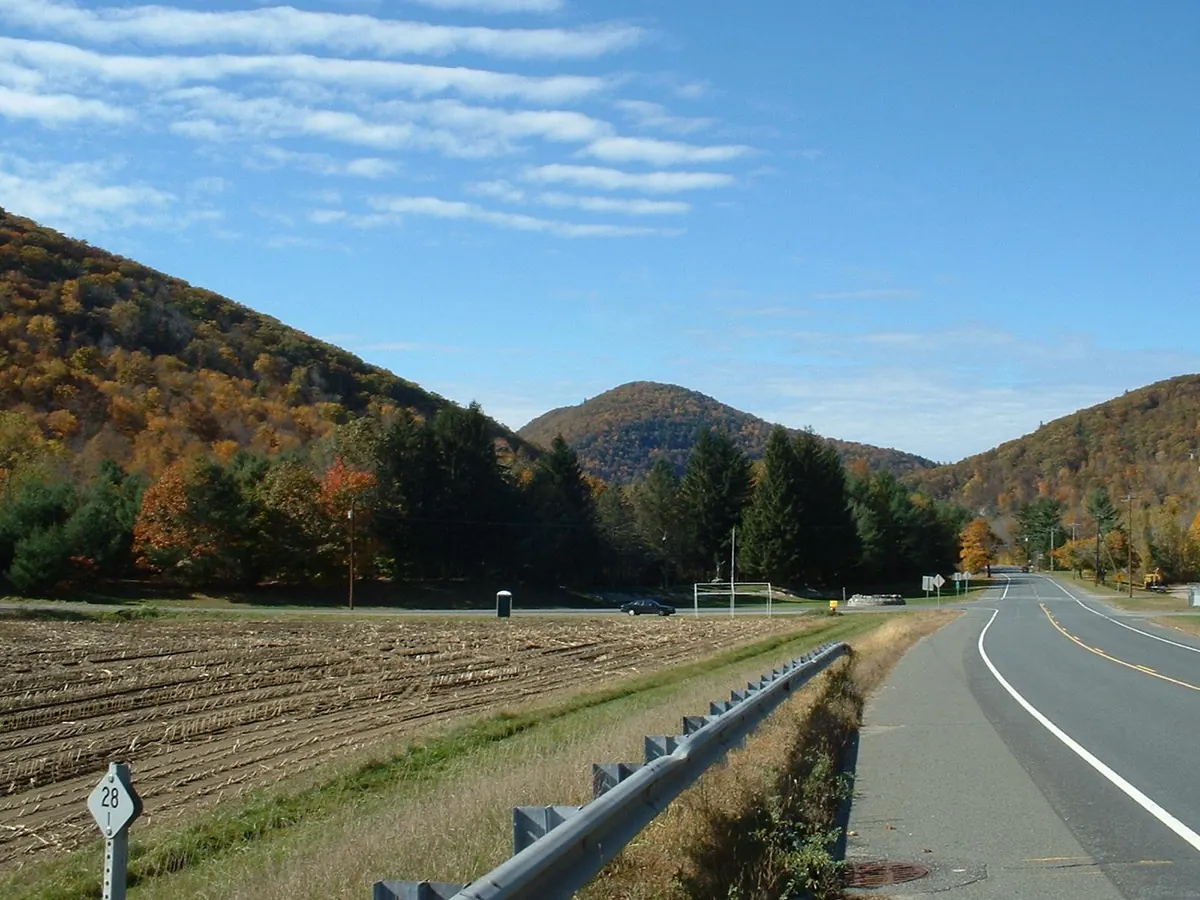

Climbs from the Deerfield River to Whitcomb Summit and a hairpin above North Adams.
The Mohawk Trail follows Routes 2 and 2A across northern Massachusetts to Williamstown, crossing the Connecticut River on the French King Bridge. It passes Shelburne Falls, runs beside the Deerfield River through Charlemont, climbs to Whitcomb Summit and drops through the hairpin turn above North Adams.
Best time to go: Open in every season; check MassDOT road status in winter before you go.
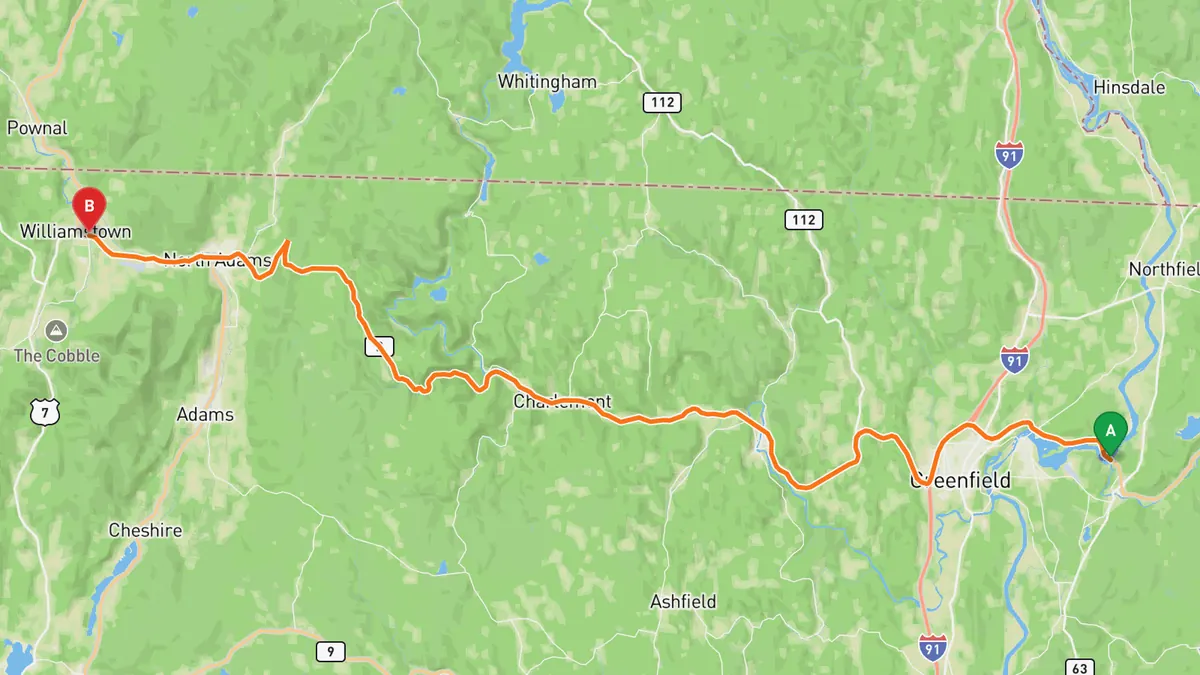
Sources: Length · High point · Best time. Along the way 1 · Along the way 2. Drive time is the route time for the mapped route without stops, from Mapbox.
2. Kancamagus Highway (NH 112)
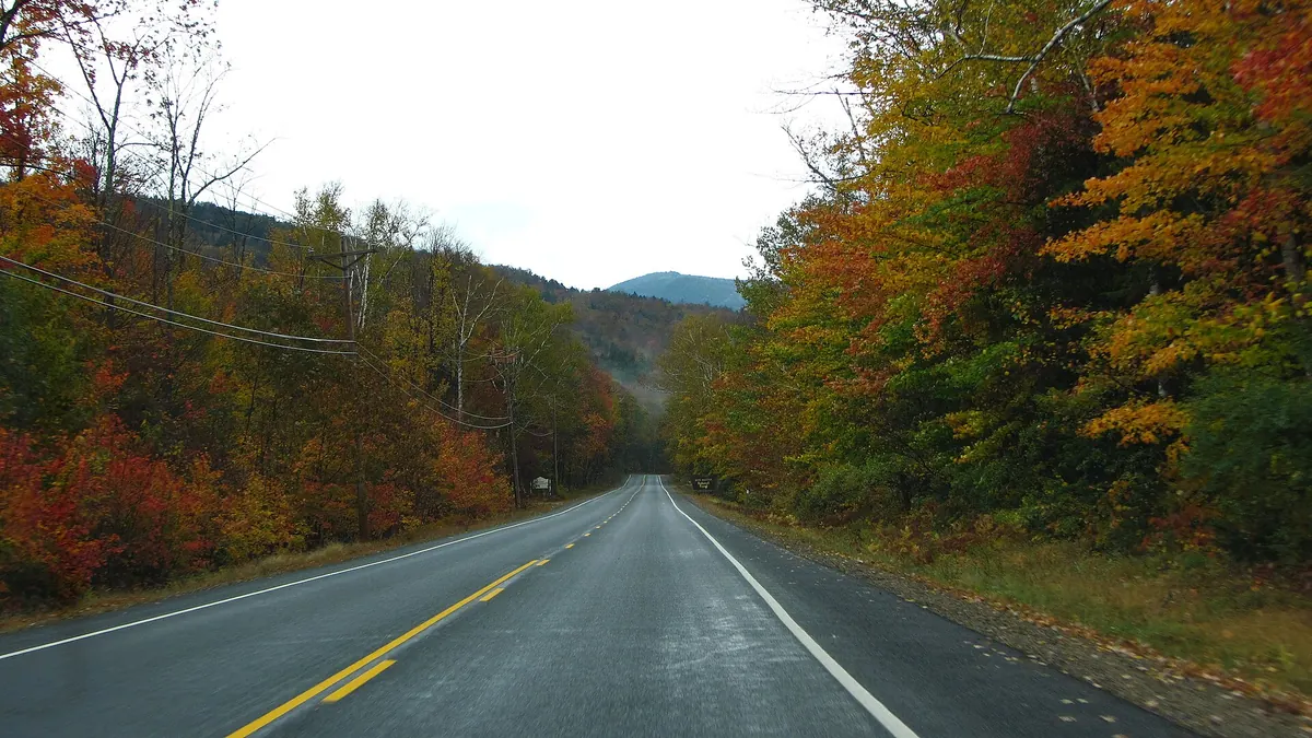

Crosses the White Mountains through national forest, with hairpins up to Kancamagus Pass. It is about 2 h 35 min from Boston to the Lincoln end, so make it a long day.
The Kancamagus Highway is the 32 mile eastern part of NH 112, from Lincoln to Conway through the White Mountain National Forest. It follows the Pemigewasset and Hancock branches up a series of hairpins to Kancamagus Pass, then runs down the Swift River past overlooks and campgrounds.
Best time to go: Open all year; September and October bring the foliage crowds. Heavy snow can close it for short periods and Bear Notch Road closes in winter, so check NHDOT road status before you go.
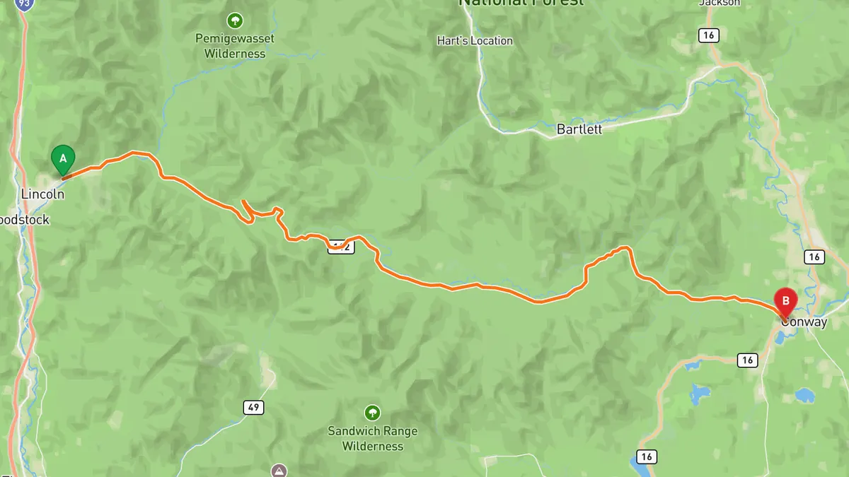
Sources: Length · High point · Best time. Along the way 1 · Along the way 2. Drive time is the route time for the mapped route without stops, from Mapbox.
3. Old King's Highway (MA 6A)
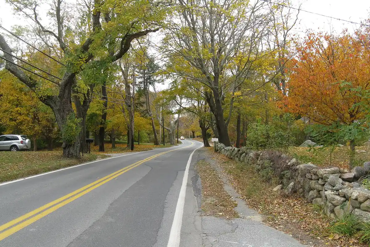

Old two-lane road on Cape Cod's north shore past salt marshes and cranberry bogs.
Old King's Highway is the stretch of Route 6A on Cape Cod's north side from Bourne, just east of the Sagamore Bridge, to the Orleans Rotary. It runs through Sandwich, Barnstable, Yarmouth, Dennis and Brewster, past cranberry bogs, salt marshes, farmland and the Barnstable historic district.
Best time to go: Open year round; a slow village road, not a through route.
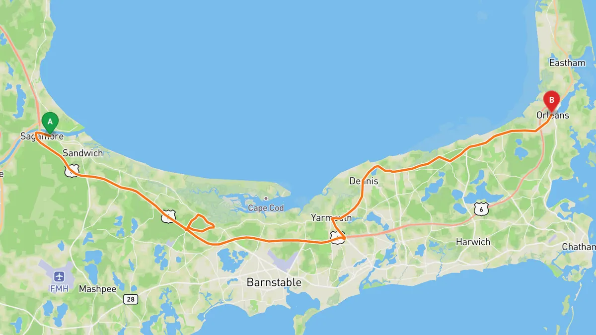
Sources: Best time. Along the way 1 · Along the way 2 · Along the way 3. Drive time is the route time for the mapped route without stops, from Mapbox.
4. NH 1A Seacoast (Ocean Boulevard)
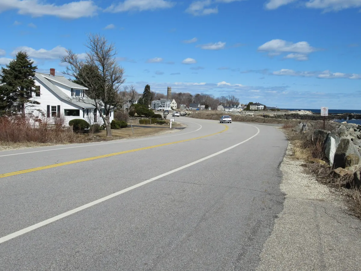

Two-lane shore road along New Hampshire's whole coast, beaches on one side.
NH 1A runs 18 miles from the Massachusetts line at Seabrook to downtown Portsmouth, as Ocean Boulevard for its shore stretch. It passes Hampton Beach, North Hampton, Rye Beach, Wallis Sands and Odiorne Point State Park before turning inland to Portsmouth.
Best time to go: Open year round. Check NHDOT road status before you go.
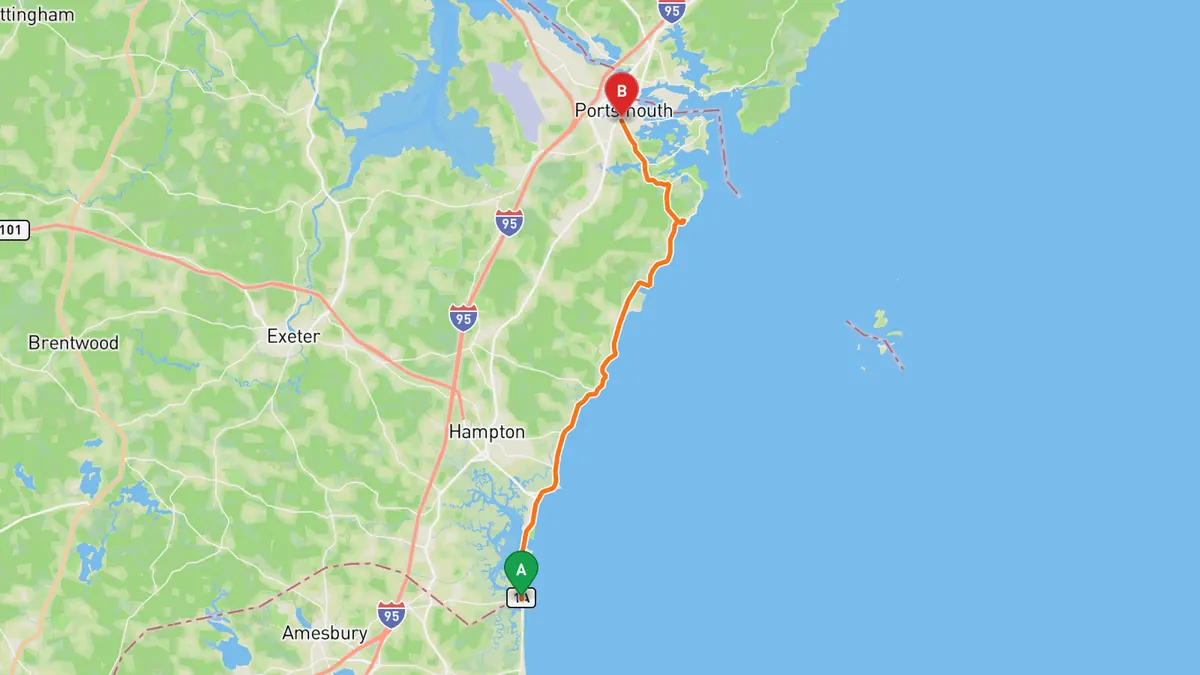
Sources: Length · Best time. Along the way. Drive time is the route time for the mapped route without stops, from Mapbox.
5. Jacob's Ladder Trail (US 20)
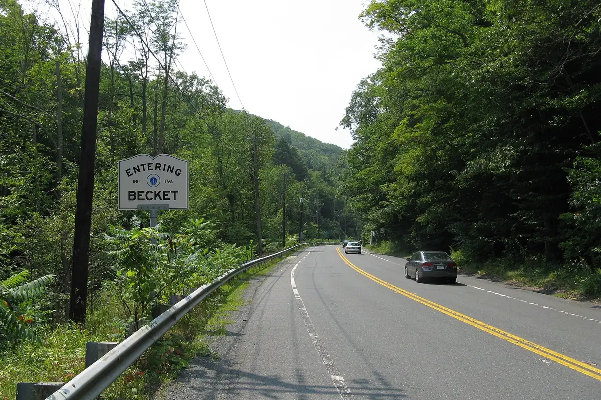

Early road built for cars over the Berkshires, topping out at Morey Hill.
The Jacob's Ladder Scenic Byway follows US 20 from Mt. Tekoa in Russell to the Lee and Lenox line. It winds through Russell, Huntington, Chester, Becket and Lee beside the Westfield River and tops out at a stone cairn on Morey Hill in Becket.
Best time to go: Open year round as a US highway; check MassDOT road status in winter before you go.
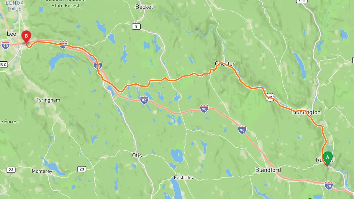
Sources: Length · High point · Best time. Along the way 1 · Along the way 2 · Along the way 3. Drive time is the route time for the mapped route without stops, from Mapbox.
Track your next drive near Boston
Open Road keeps every drive: the route on a map, the time and the distance. On iPhone and Android.


Questions, answered
- What are the best driving roads near Boston?
- Top picks near Boston: Mohawk Trail, Kancamagus Highway, Old King's Highway, NH 1A Seacoast, Jacob's Ladder Trail. Each one is here for the drive and the scenery.
- How long are the best driving roads near Boston?
- Mohawk Trail: 63 miles. Kancamagus Highway: 32 miles, Lincoln to Conway. NH 1A Seacoast: 18 miles. Jacob's Ladder Trail: 30 miles, Lee to Russell.
- Which driving road near Boston climbs the highest?
- Kancamagus Highway, with a high point of 2,855 ft at Kancamagus Pass.
- When is the best time to drive these roads?
- Mohawk Trail: Open in every season; check MassDOT road status in winter before you go. Kancamagus Highway: Open all year; September and October bring the foliage crowds. Heavy snow can close it for short periods and Bear Notch Road closes in winter, so check NHDOT road status before you go. Old King's Highway: Open year round; a slow village road, not a through route. NH 1A Seacoast: Open year round. Check NHDOT road status before you go. Jacob's Ladder Trail: Open year round as a US highway; check MassDOT road status in winter before you go.
- What's the best app to track a drive near Boston?
- Open Road records your drive and saves it to your drive log with the route on a map, the distance and the time. It is on iPhone and Android.