Best driving roads near San Diego
San Diego's mountain roads climb into the Laguna, Cuyamaca and Palomar ranges within about an hour of downtown, and the same roads drop east into the Anza-Borrego desert. On the coast, the old Highway 101 runs through the North County beach towns.
1. Sunrise Highway (County Route S1)
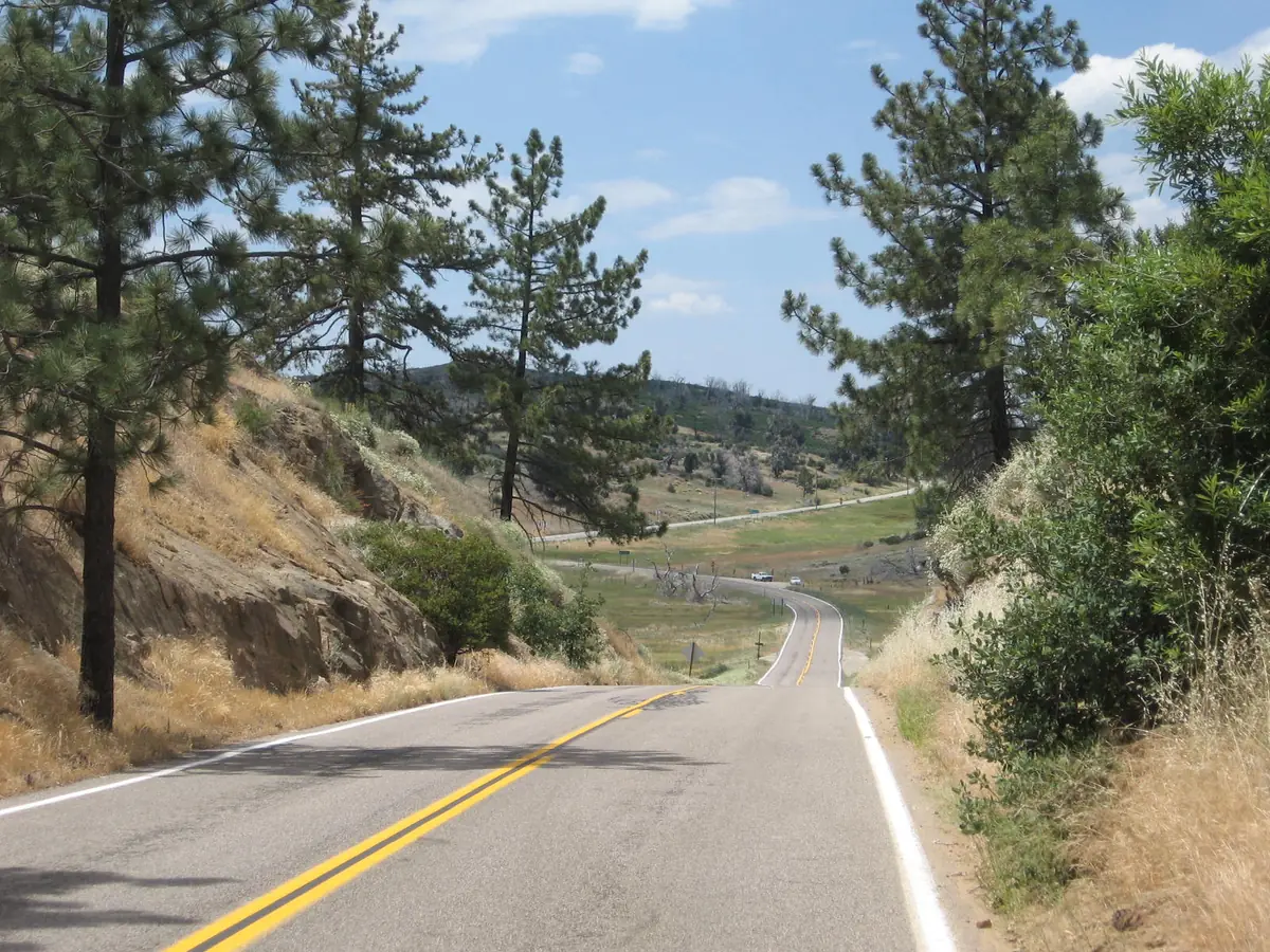

Climbs from chaparral into pine forest, with overlooks toward Anza-Borrego.
Sunrise Highway, the northern part of County Route S1, leaves Interstate 8 and climbs through the Cleveland National Forest to Mount Laguna, about 6,000 ft up. It continues north past campgrounds and a picnic area overlooking Anza-Borrego Desert State Park, and ends at State Route 79 near Lake Cuyamaca.
Best time to go: Year round. Winter storms can bring snow to the Laguna Mountains; check San Diego County road status before you go.
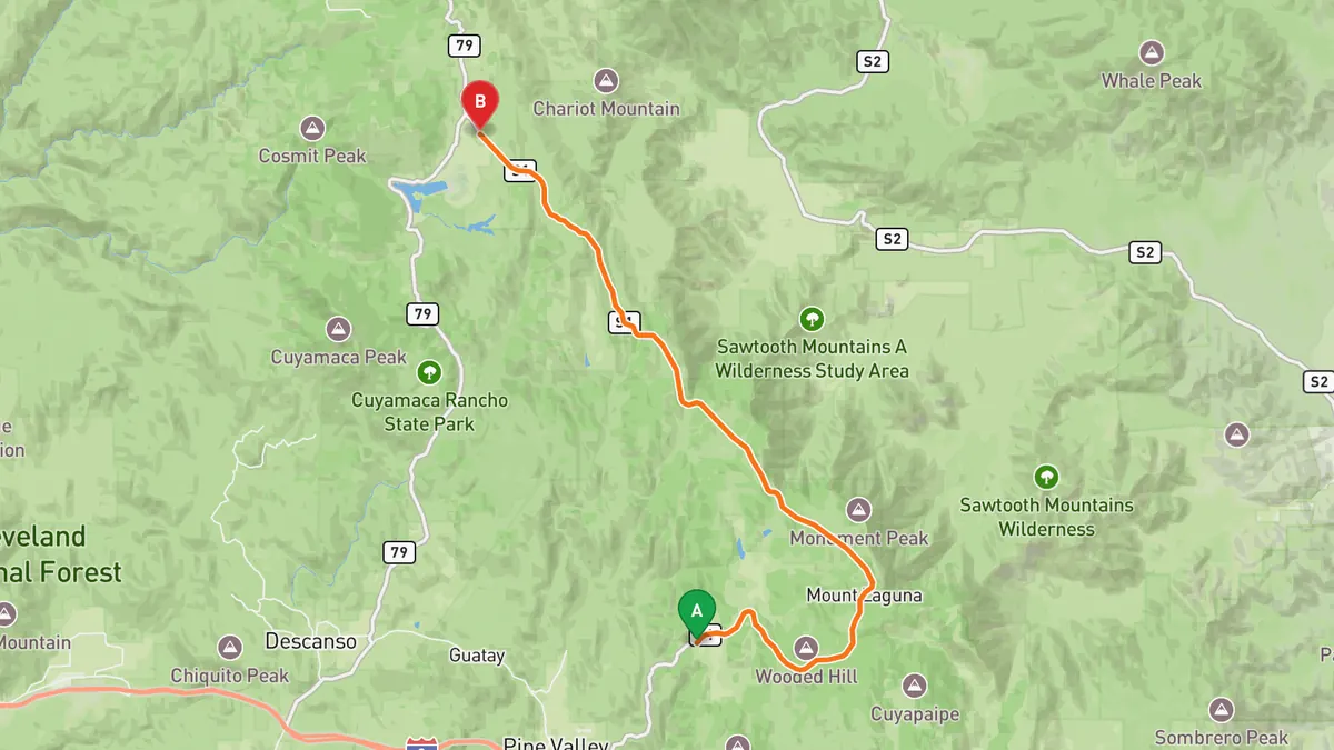
Sources: High point · Best time. Along the way 1 · Along the way 2. Drive time is the route time for the mapped route without stops, from Mapbox.
2. Palomar Mountain South Grade Road (S6)
Over 20 hairpin turns in under 7 miles, ending at Palomar Observatory.
South Grade Road, part of County Route S6, leaves State Route 76 and climbs Palomar Mountain with over 20 hairpin turns in under 7 miles. Past its junction with County Route S7 it continues north and ends at the Palomar Observatory.
Best time to go: Year round. Snow falls in cold winter storms; check San Diego County road status before you go.
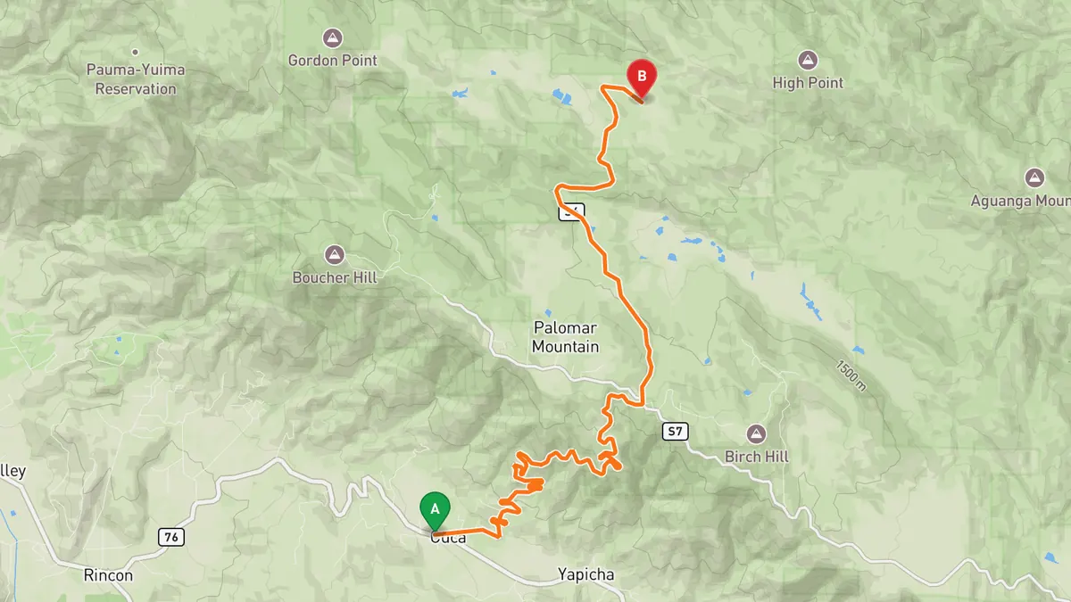
Sources: Length · Best time. Along the way 1 · Along the way 2. Drive time is the route time for the mapped route without stops, from Mapbox.
3. Montezuma Valley Road (S22) to Borrego Springs
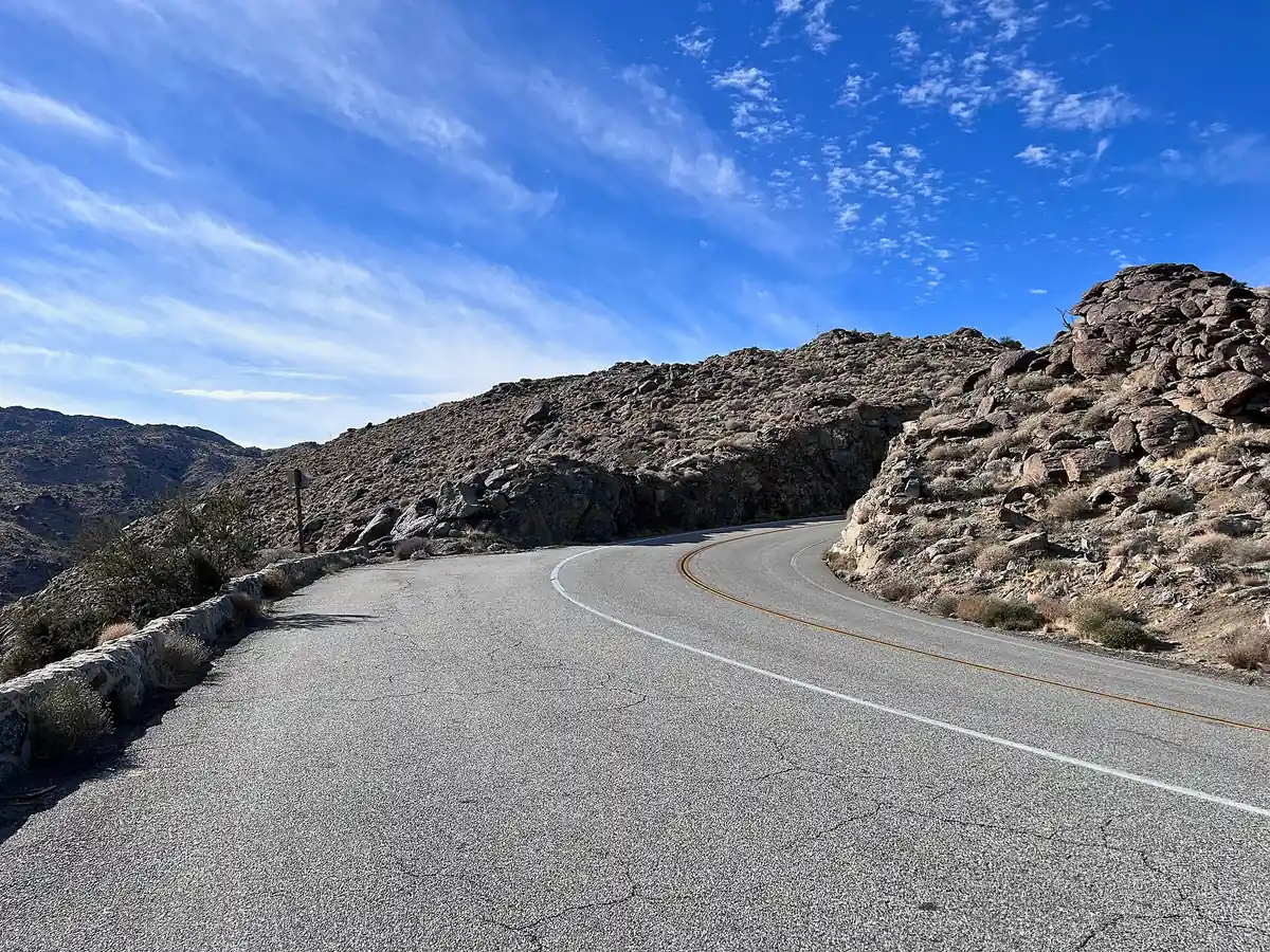

Winding desert grade that drops about 12 miles into Borrego Valley.
Montezuma Valley Road, County Route S22, runs east through the rural community of Ranchita and into Anza-Borrego Desert State Park. It then winds about 12 miles down the Montezuma Grade to Borrego Springs and the Christmas Circle roundabout.
Best time to go: Open year round. Wildflower bloom season is the busiest time in Borrego Springs.
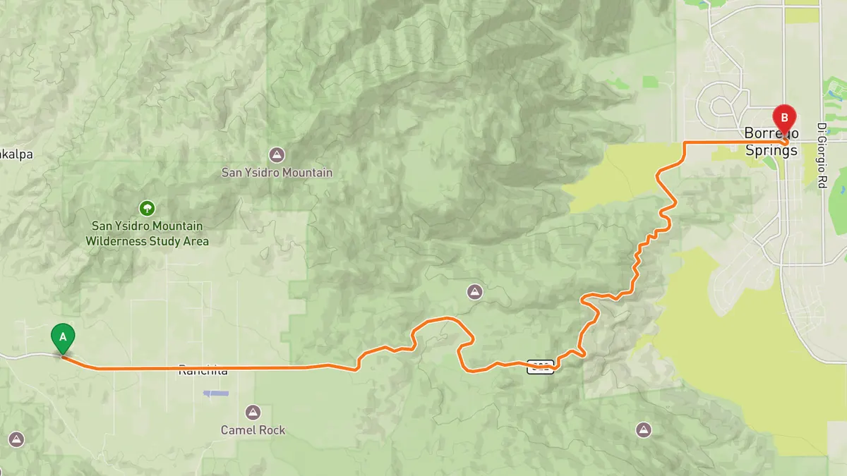
Sources: Length · Best time. Along the way 1 · Along the way 2. Drive time is the route time for the mapped route without stops, from Mapbox.
4. Julian and Banner Grade (SR 79 and SR 78)
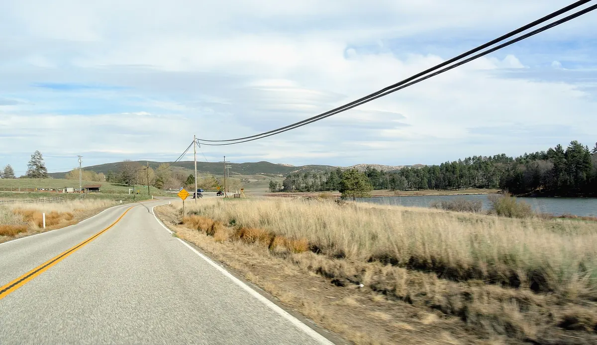

Hairpins through Cuyamaca to Julian, then down Banner Grade toward the desert.
State Route 79 runs north from Interstate 8 at Descanso Junction through Cuyamaca Rancho State Park and past Lake Cuyamaca, with hairpin turns, to the town of Julian. From Julian, State Route 78 heads northeast as Banner Road down Banner Grade to Scissors Crossing, then enters Anza-Borrego Desert State Park.
Best time to go: Open year round. Check Caltrans road status before you go, especially after winter storms.
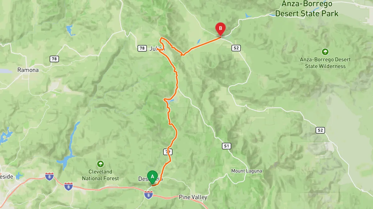
Sources: Best time. Along the way 1 · Along the way 2. Drive time is the route time for the mapped route without stops, from Mapbox.
5. Coast Highway 101, Torrey Pines to Oceanside
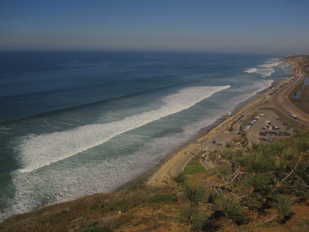

The old Highway 101 coast road through Del Mar, Encinitas and Carlsbad.
County Route S21 follows the old alignment of US 101 north from Torrey Pines Road, below Torrey Pines State Natural Reserve, through Del Mar and Solana Beach. It continues as Coast Highway 101 through Encinitas and as Carlsbad Boulevard through Carlsbad, ending in Oceanside.
Best time to go: Open year round.
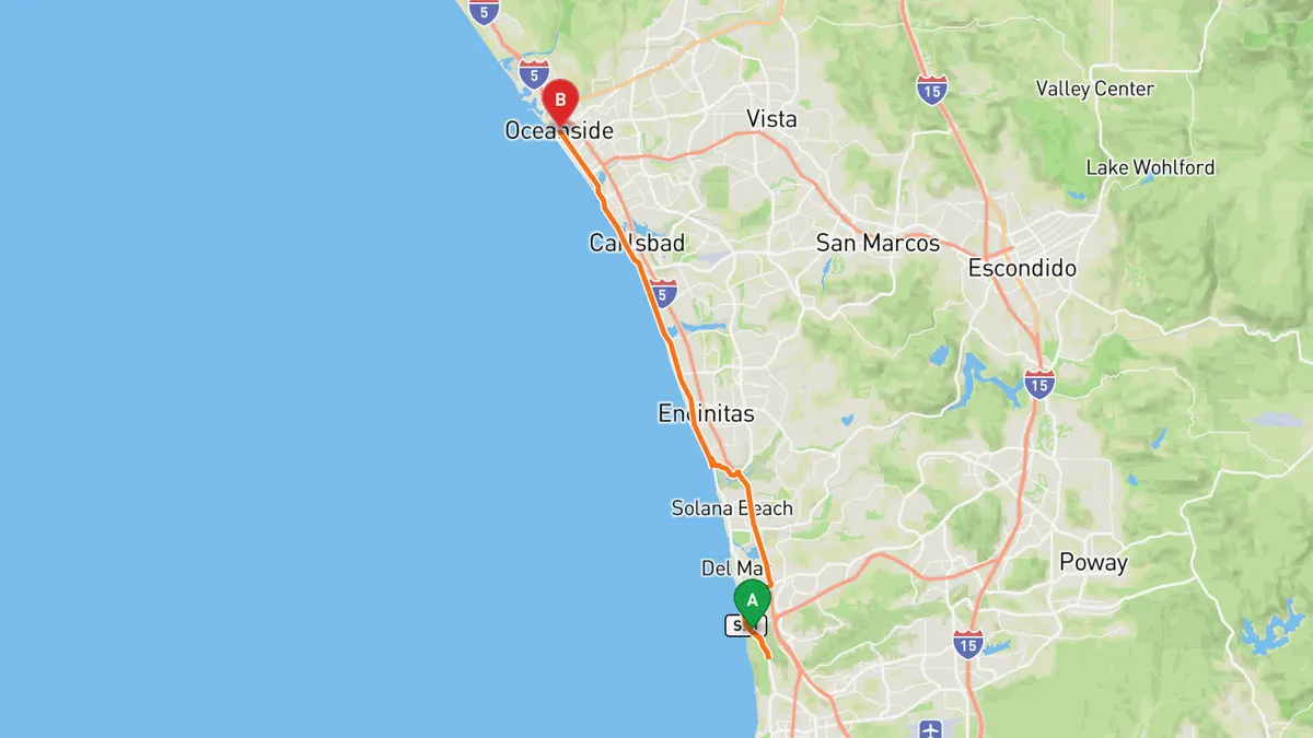
Sources: Length. Along the way 1 · Along the way 2. Drive time is the route time for the mapped route without stops, from Mapbox.
Track your next drive near San Diego
Open Road keeps every drive: the route on a map, the time and the distance. On iPhone and Android.


Questions, answered
- What are the best driving roads near San Diego?
- Top picks near San Diego: Sunrise Highway, Palomar Mountain South Grade Road, Montezuma Valley Road to Borrego Springs, Julian and Banner Grade, Coast Highway 101, Torrey Pines to Oceanside. Each one is here for the drive and the scenery.
- How long are the best driving roads near San Diego?
- Palomar Mountain South Grade Road: under 7 miles of South Grade Road. Montezuma Valley Road to Borrego Springs: about 12 miles of descent on the Montezuma Grade. Coast Highway 101, Torrey Pines to Oceanside: about 25 miles (County Route S21 is 24.74 miles).
- Which driving road near San Diego climbs the highest?
- Sunrise Highway, with a high point of about 6,000 ft near Mount Laguna.
- When is the best time to drive these roads?
- Sunrise Highway: Year round. Winter storms can bring snow to the Laguna Mountains; check San Diego County road status before you go. Palomar Mountain South Grade Road: Year round. Snow falls in cold winter storms; check San Diego County road status before you go. Montezuma Valley Road to Borrego Springs: Open year round. Wildflower bloom season is the busiest time in Borrego Springs. Julian and Banner Grade: Open year round. Check Caltrans road status before you go, especially after winter storms. Coast Highway 101, Torrey Pines to Oceanside: Open year round.
- What's the best app to track a drive near San Diego?
- Open Road records your drive and saves it to your drive log with the route on a map, the distance and the time. It is on iPhone and Android.