Best driving roads near Philadelphia
Philadelphia has no mountains nearby, so the good drives are river roads along the Delaware and Schuylkill and two-lane farm roads in the rolling Brandywine Valley and Lancaster County. For real hills, the Delaware Water Gap is about two hours north.
1. Kelly Drive
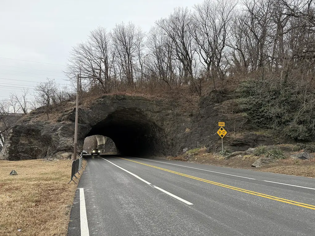

A river drive past Boathouse Row on the Schuylkill, inside the city.
Kelly Drive follows the east bank of the Schuylkill River through East Fairmount Park, with the paved Schuylkill River Trail beside it. Its south end passes Boathouse Row, just north of the Fairmount Water Works and the Philadelphia Museum of Art.
Best time to go: Open all year; it runs along the Schuylkill past Boathouse Row and beside the Schuylkill River Trail.
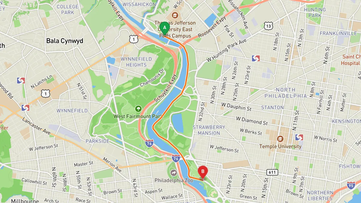
Sources: Best time. Along the way 1 · Along the way 2. Drive time is the route time for the mapped route without stops, from Mapbox.
2. River Road (PA 32)
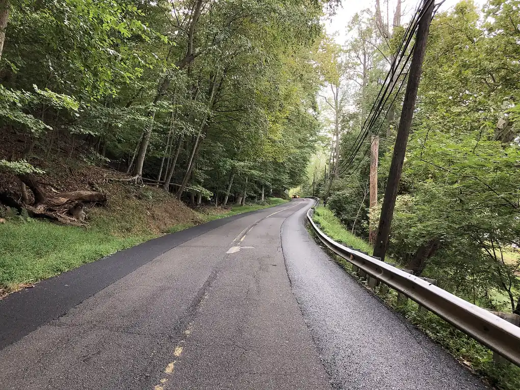

A two-lane river road beside the Delaware and the old canal in Bucks County.
PA 32 is a two-lane road along the west bank of the Delaware River in Bucks County, with the Delaware Canal close by for much of the way. North of New Hope it runs through river villages such as Lumberville and Point Pleasant to Upper Black Eddy, and Wikipedia notes it is popular with Sunday drivers, bikers and fall foliage viewers.
Best time to go: Open all year; fall foliage season is when it is most popular.
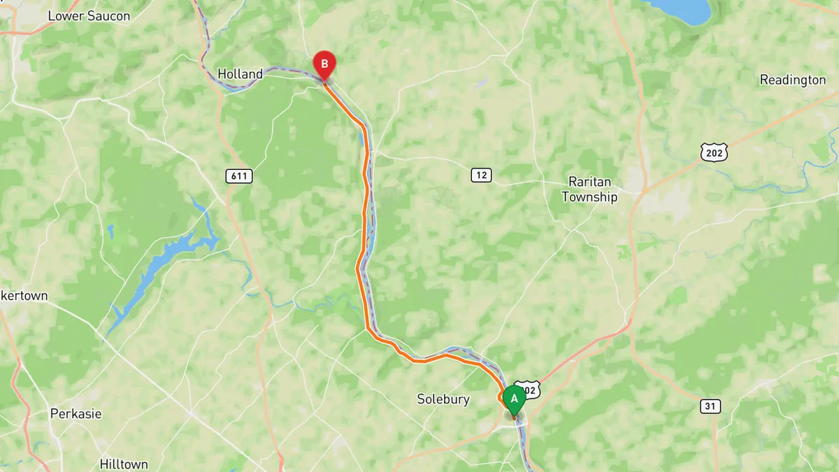
Sources: Best time. Along the way. Drive time is the route time for the mapped route without stops, from Mapbox.
3. Brandywine Valley Scenic Byway (Kennett Pike, DE 52)
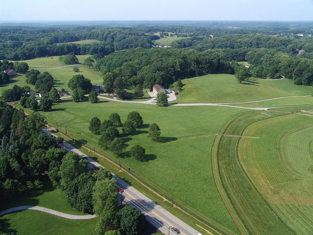

The du Pont estate country of the Brandywine Valley on an 1810s turnpike.
DE 52 leaves Wilmington as Pennsylvania Avenue and becomes the Kennett Pike, built as a turnpike in 1811 to 1813, running through Greenville, Winterthur and Centreville to the Pennsylvania line. The byway passes Winterthur Museum and Country Estate, the Delaware Museum of Natural History and Centreville Village.
Best time to go: Open all year; DelDOT puts the drive at about an hour, and the gardens and museums along it (Winterthur, Hagley, Nemours) are the reason to stop.
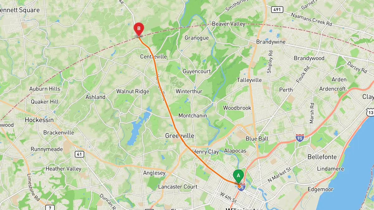
Sources: Length · Best time. Along the way 1 · Along the way 2. Drive time is the route time for the mapped route without stops, from Mapbox.
4. PA 897 through Lancaster County
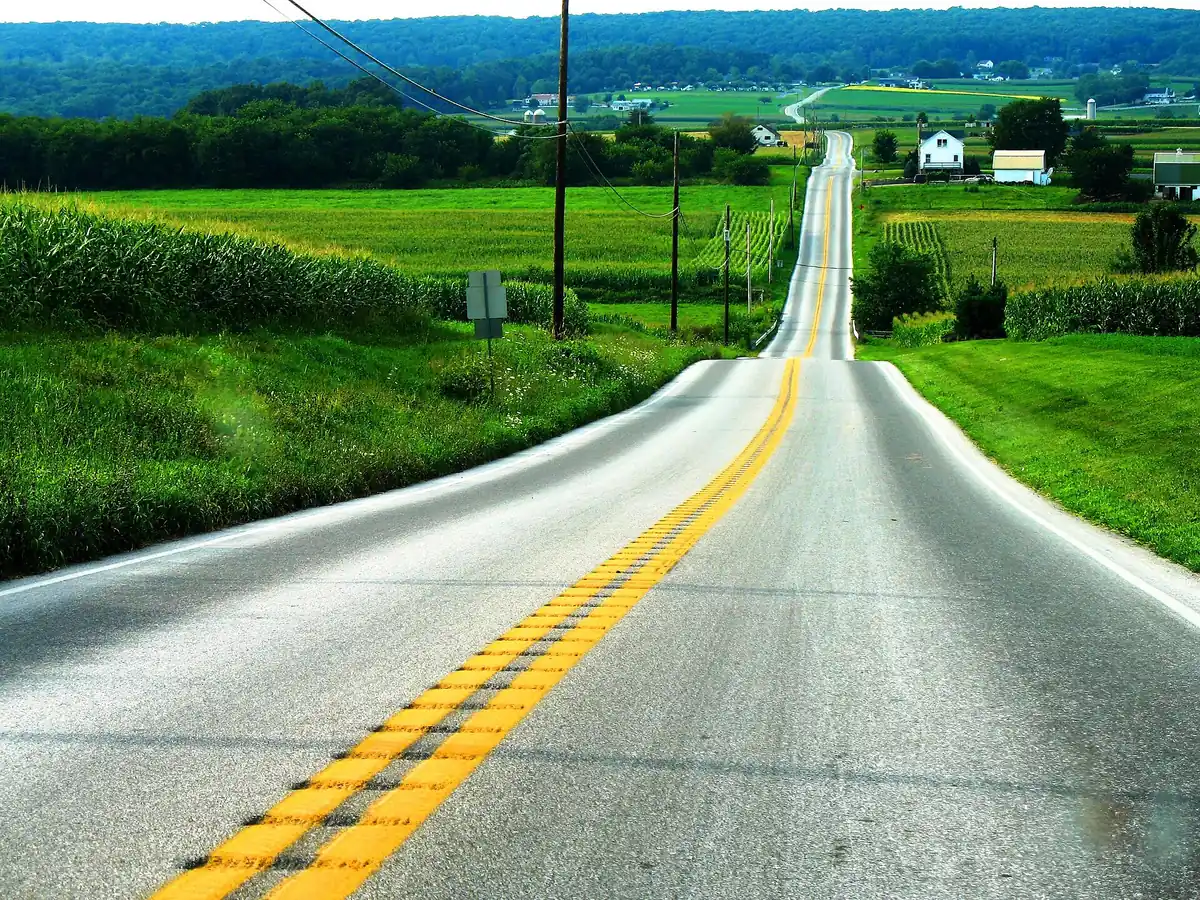

Two lanes over Welsh Mountain and through Amish farmland in Pennsylvania Dutch Country.
PA 897 heads north from US 30 in Gap through the Pennsylvania Dutch Country of eastern Lancaster County, home to many Amish farms, passing White Horse, over forested Welsh Mountain, then Blue Ball and Terre Hill. It continues northwest through the north of the county into Lebanon County and Schaefferstown.
Best time to go: Open all year; a two-lane road its entire length, through farmland and small towns.
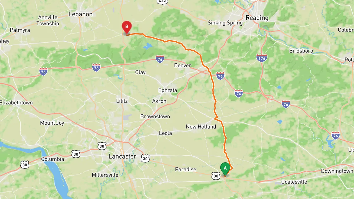
Sources: Best time. Along the way. Drive time is the route time for the mapped route without stops, from Mapbox.
5. Delaware River Scenic Byway (NJ 29)
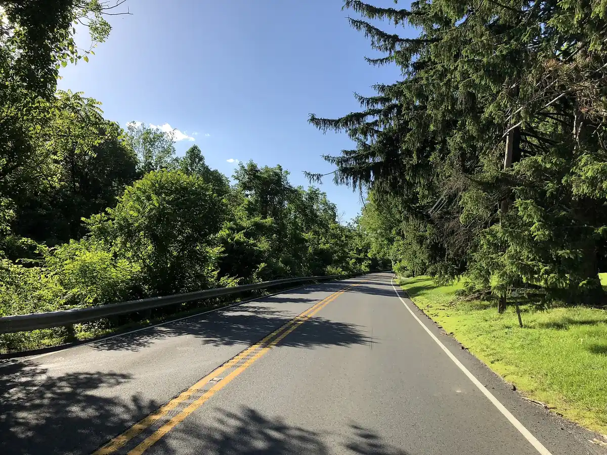

A shaded river road between the Delaware and the old D&R Canal.
North of Trenton, NJ 29 becomes a mostly two-lane scenic road designated the Delaware River Scenic Byway, a New Jersey and National Scenic Byway, with the old Delaware and Raritan Canal usually between the road and the river. From Lambertville it runs through Stockton and Delaware Township to Frenchtown.
Best time to go: Open all year; most of the byway section sits under a full tree canopy.
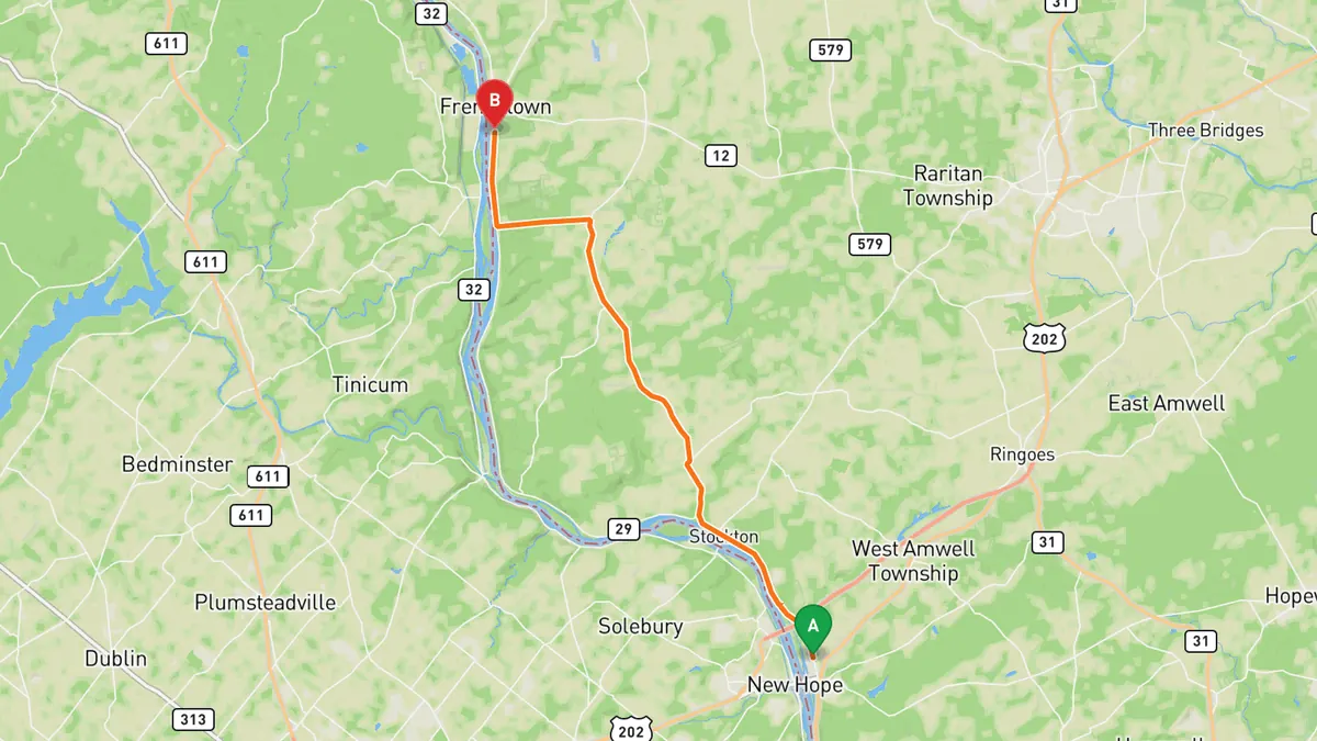
Sources: Best time. Along the way. Drive time is the route time for the mapped route without stops, from Mapbox.
6. Old Mine Road
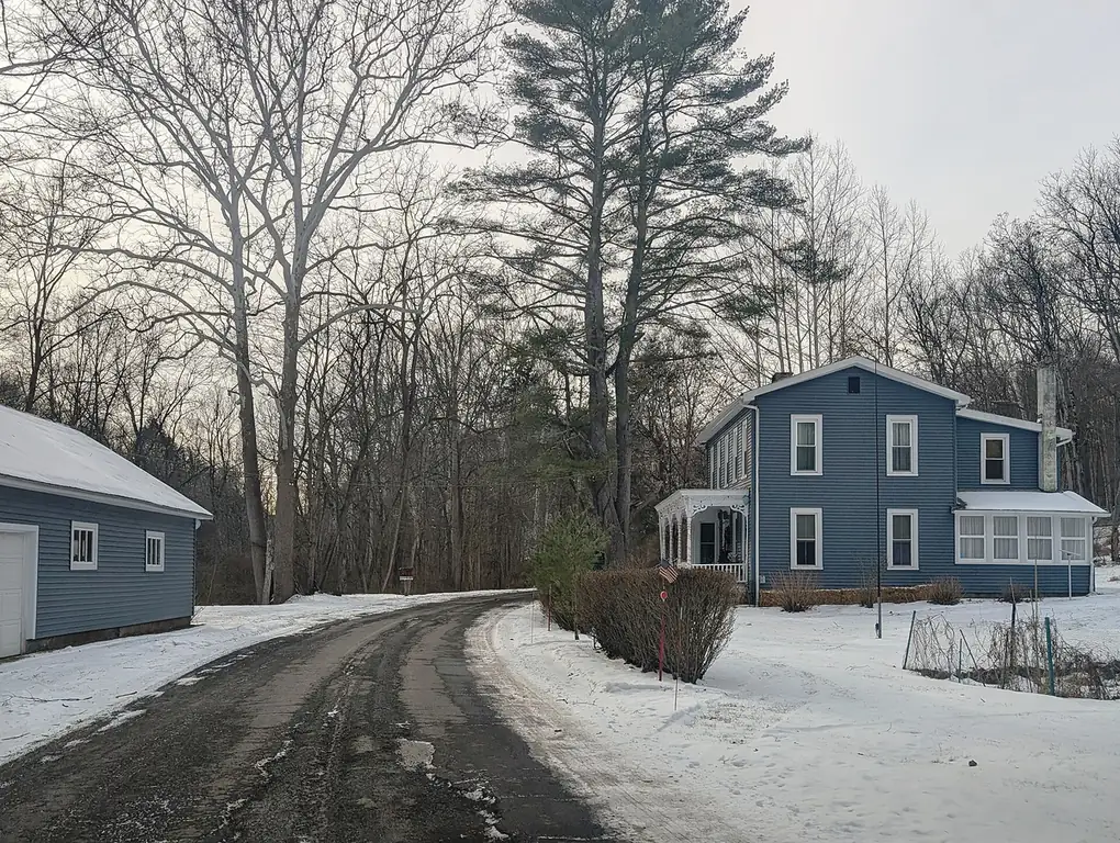

One of the oldest commercial roads in the country, through the Delaware Water Gap.
Old Mine Road runs north from the Delaware Water Gap through the New Jersey side of the national recreation area, past Worthington State Forest, Millbrook Village and Flatbrookville. The NPS says it still keeps much of the feel of 100 years ago and is a popular driving and biking route.
Best time to go: Spring through fall; check the NPS conditions page first, the section north of Route 206 to Jager Road is closed for repaving and a bridge job near Van Campens Glen can cut it to one lane.
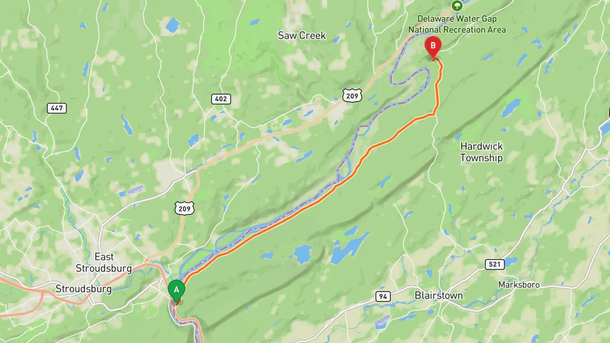
Sources: Best time. Along the way 1 · Along the way 2. Drive time is the route time for the mapped route without stops, from Mapbox.
Track your next drive near Philadelphia
Open Road keeps every drive: the route on a map, the time and the distance. On iPhone and Android.


Questions, answered
- What are the best driving roads near Philadelphia?
- Top picks near Philadelphia: Kelly Drive, River Road, Brandywine Valley Scenic Byway, PA 897 through Lancaster County, Delaware River Scenic Byway, Old Mine Road. Each one is here for the drive and the scenery.
- How long are the best driving roads near Philadelphia?
- Brandywine Valley Scenic Byway: 7.9 miles on DE 52 from Wilmington to the Pennsylvania line (the full byway, with DE 100, is 12.25 miles).
- When is the best time to drive these roads?
- Kelly Drive: Open all year; it runs along the Schuylkill past Boathouse Row and beside the Schuylkill River Trail. River Road: Open all year; fall foliage season is when it is most popular. Brandywine Valley Scenic Byway: Open all year; DelDOT puts the drive at about an hour, and the gardens and museums along it (Winterthur, Hagley, Nemours) are the reason to stop. PA 897 through Lancaster County: Open all year; a two-lane road its entire length, through farmland and small towns. Delaware River Scenic Byway: Open all year; most of the byway section sits under a full tree canopy. Old Mine Road: Spring through fall; check the NPS conditions page first, the section north of Route 206 to Jager Road is closed for repaving and a bridge job near Van Campens Glen can cut it to one lane.
- What's the best app to track a drive near Philadelphia?
- Open Road records your drive and saves it to your drive log with the route on a map, the distance and the time. It is on iPhone and Android.