Best driving roads near Chicago
Chicago sits on flat prairie and lake plain, so nothing here is a mountain road; the drives near the city are about the Lake Michigan shore. For real hills, head to the glacial Kettle Moraine in Wisconsin or the Driftless country around Galena, which is a long day trip.
1. Lake Shore Drive
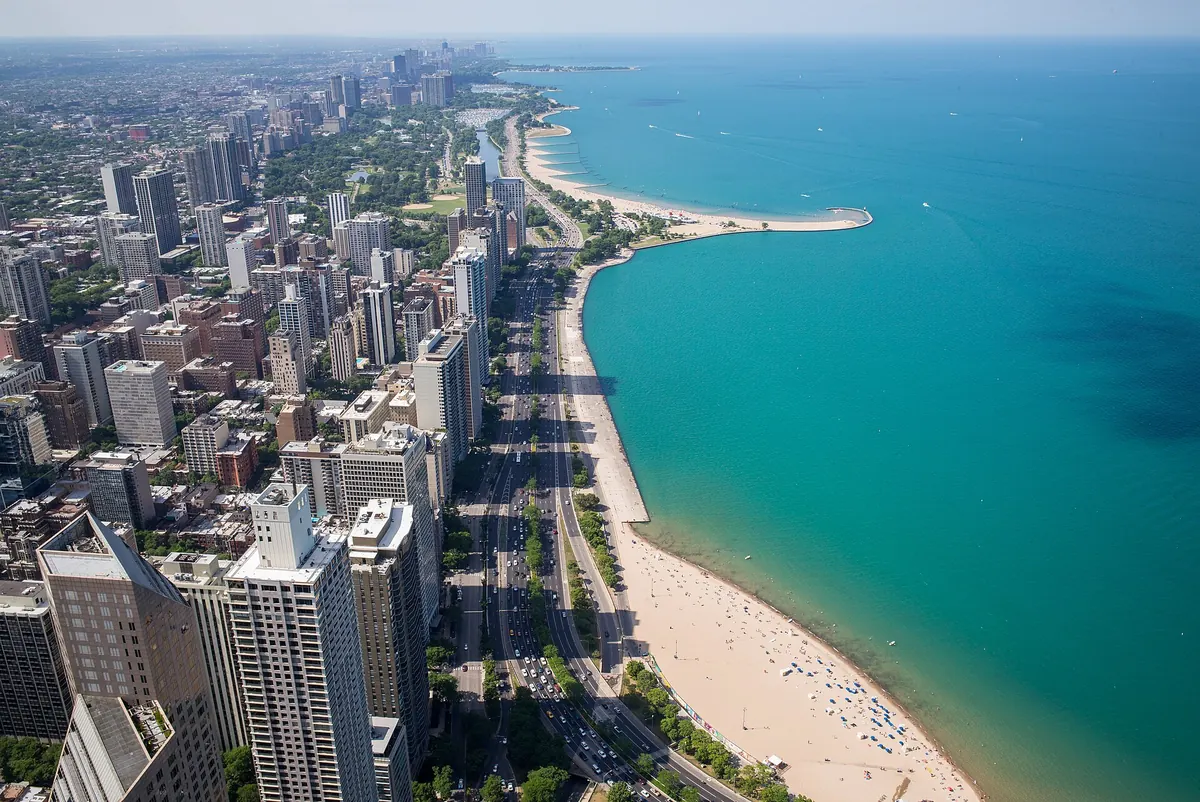

Lakefront drive past beaches, parks and the downtown skyline on Lake Michigan.
The Outer Drive runs from Marquette Drive in Jackson Park north to Hollywood Avenue in Edgewater, mostly as US 41, between the city and the Lake Michigan shoreline. It passes the Museum Campus, Grant Park, Oak Street Beach and Lincoln Park, with the Lakefront Trail beside it for most of the way.
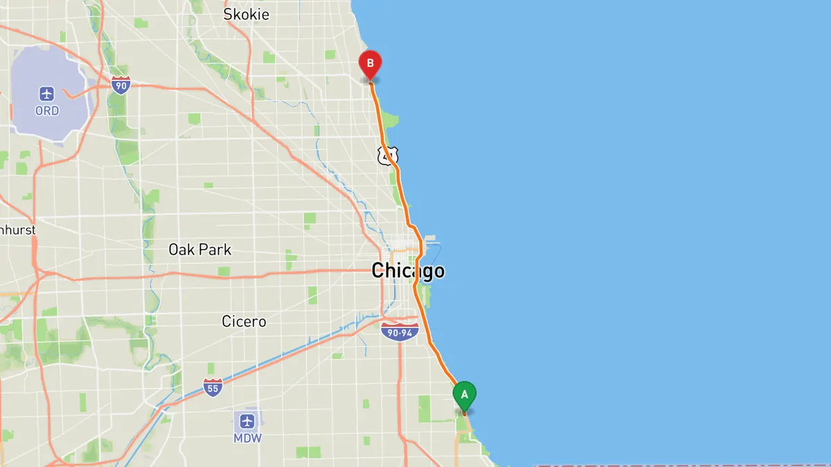
Sources: Length. Along the way. Drive time is the route time for the mapped route without stops, from Mapbox.
2. Sheridan Road (North Shore)
Lake Michigan shore road past North Shore mansions, ravines and lakefront parks.
Sheridan Road is the easternmost through street along Lake Michigan, running from Chicago north through the North Shore suburbs to Waukegan, Kenosha and Racine. Between Evanston and Lake Bluff it passes Northwestern University, Grosse Point Lighthouse, the Baha'i House of Worship, Ravinia and Fort Sheridan, an area Wikipedia notes for historic sites, lakefront parks and mansion homes.
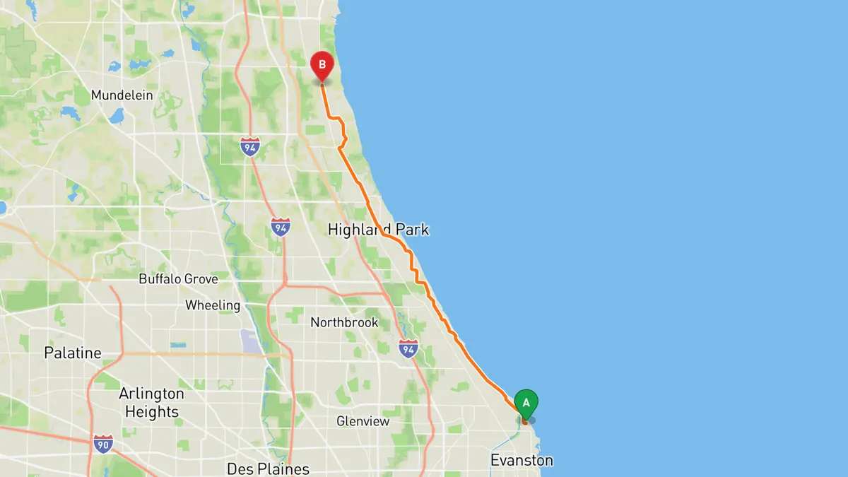
Sources: Along the way. Drive time is the route time for the mapped route without stops, from Mapbox.
3. Kettle Moraine Scenic Drive
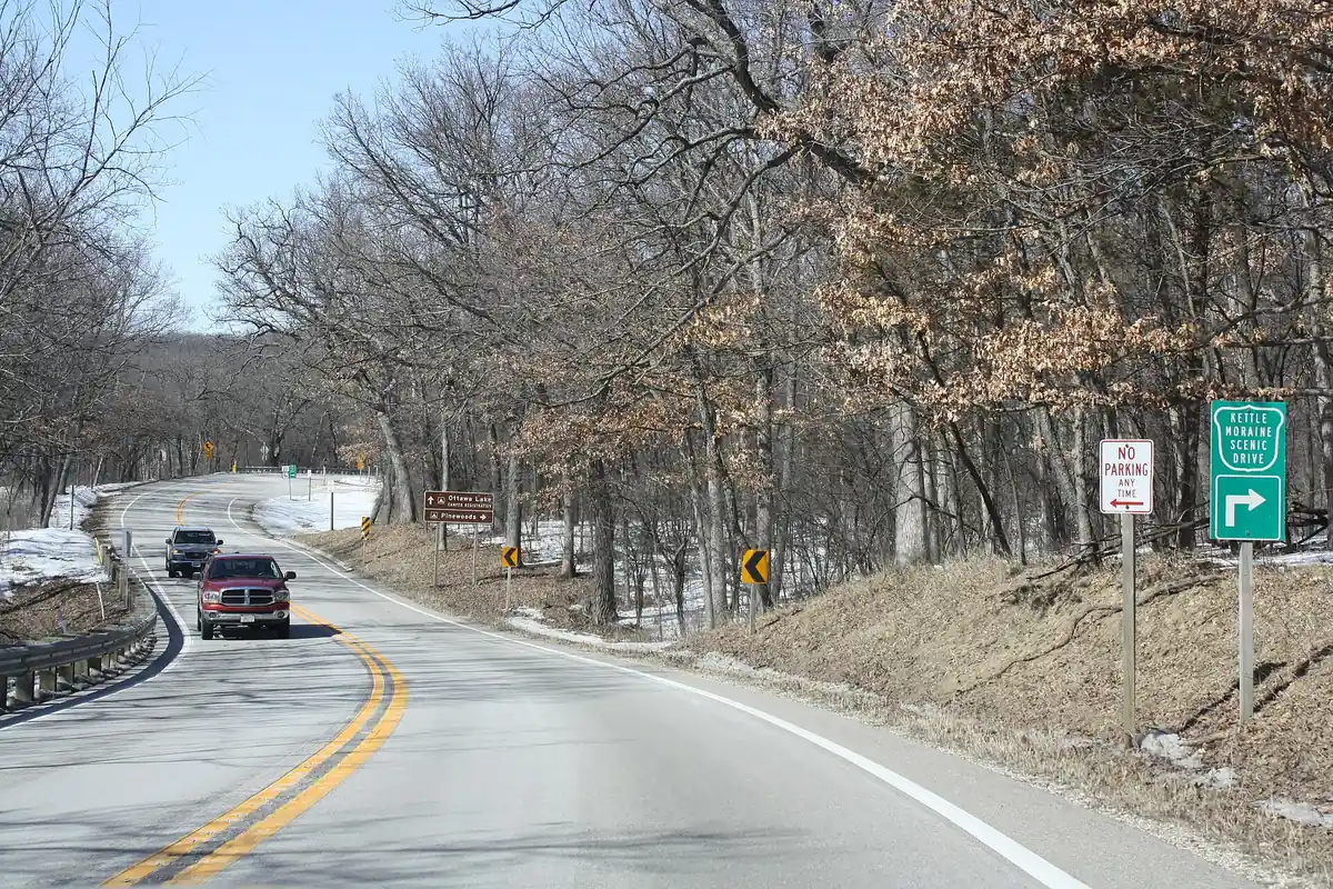

Rolling glacial hills and oak forest linking both Kettle Moraine State Forest units.
The 115-mile drive runs on county and local roads through six Wisconsin counties, from Whitewater Lake in Walworth County northeast to near Elkhart Lake in Sheboygan County. It links the Southern and Northern Units of Kettle Moraine State Forest and passes Lapham Peak, Pike Lake, Old World Wisconsin, Holy Hill and the Wade House, through moraines and kettles left by the last glaciation.
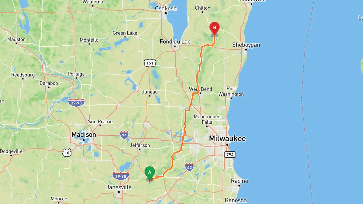
Sources: Length. Along the way 1 · Along the way 2. Drive time is the route time for the mapped route without stops, from Mapbox.
4. Stagecoach Trail
Old stage route over the hilly Driftless farmland of far northwest Illinois.
Stagecoach Trail is a historic route, part of the old Galena to Chicago trail, linking Galena and Lena through Scales Mound, Apple River, Warren and Nora. It runs over Waddams Hill, the third highest point in Illinois, and passes close to Charles Mound, the state high point, and the Wisconsin line.
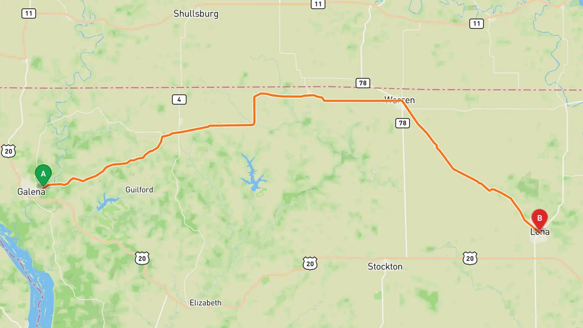
Sources: Length. Along the way. Drive time is the route time for the mapped route without stops, from Mapbox.
5. Great River Road (IL 84), Galena to Savanna
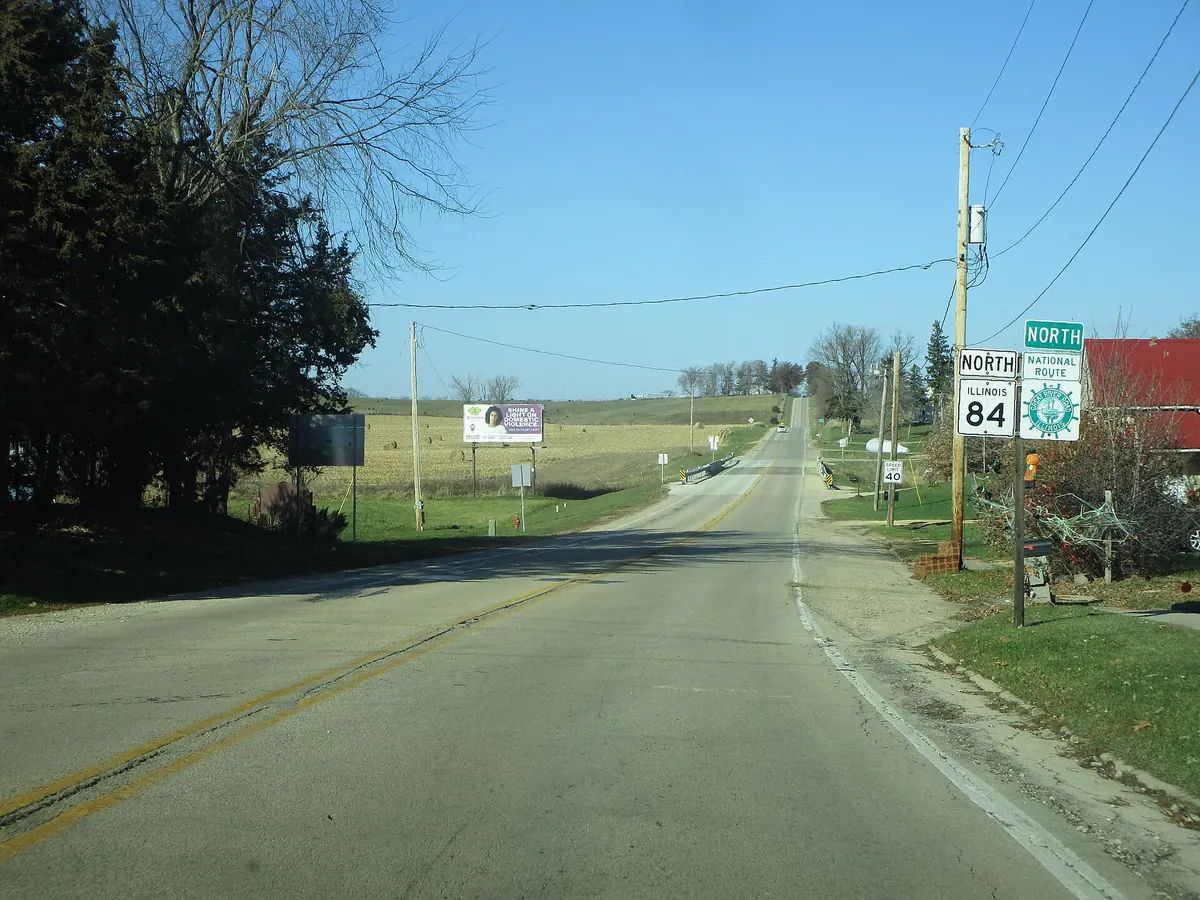

River-country two-lane through the Driftless hills to the Mississippi Palisades bluffs.
Illinois Route 84 follows the Great River Road along the Mississippi in northwest Illinois; this stretch runs south from Galena through Hanover to Savanna. Just north of Savanna it passes Mississippi Palisades State Park, a National Natural Landmark of caves and tall cliffs at the mouth of the Apple River in the Driftless Area.
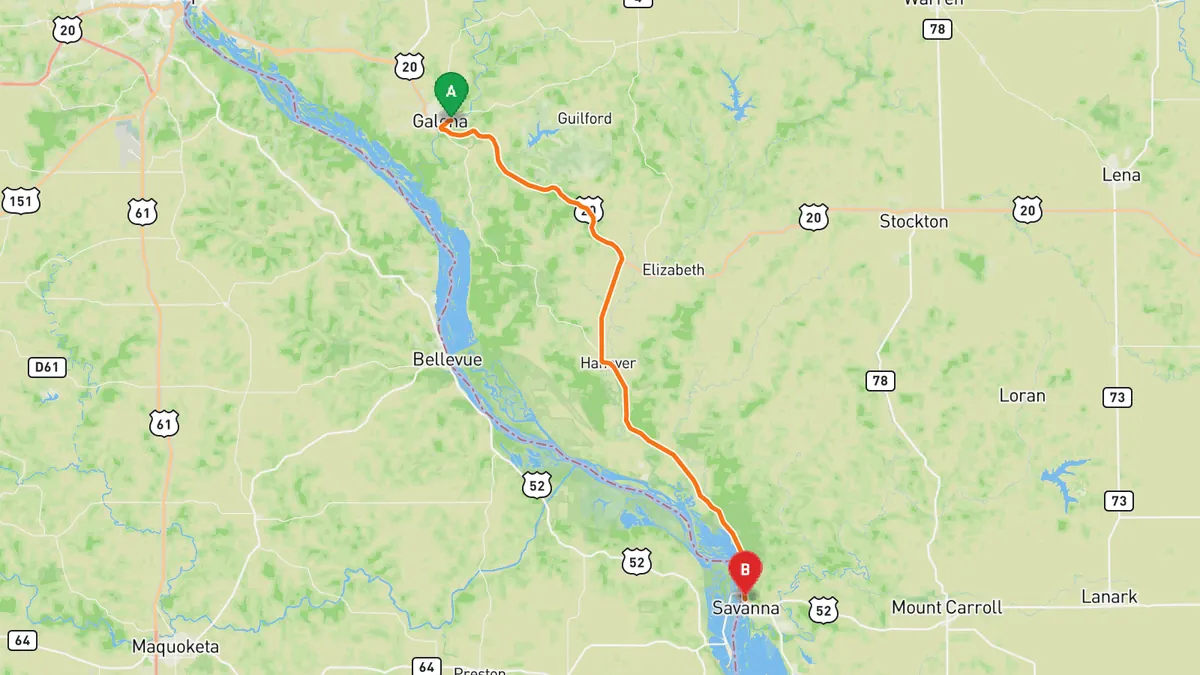
Sources: Along the way 1 · Along the way 2 · Along the way 3. Drive time is the route time for the mapped route without stops, from Mapbox.
Track your next drive near Chicago
Open Road keeps every drive: the route on a map, the time and the distance. On iPhone and Android.


Questions, answered
- What are the best driving roads near Chicago?
- Top picks near Chicago: Lake Shore Drive, Sheridan Road, Kettle Moraine Scenic Drive, Stagecoach Trail, Great River Road, Galena to Savanna. Each one is here for the drive and the scenery.
- How long are the best driving roads near Chicago?
- Lake Shore Drive: About 15.8 miles, Jackson Park to Hollywood Avenue. Kettle Moraine Scenic Drive: 115 miles. Stagecoach Trail: 40 miles, Galena to Lena.
- What's the best app to track a drive near Chicago?
- Open Road records your drive and saves it to your drive log with the route on a map, the distance and the time. It is on iPhone and Android.