Best driving roads near Washington, DC
Washington has a parkway along the Potomac inside the Beltway, and real mountain roads within about two hours. The Blue Ridge in Shenandoah National Park and Catoctin Mountain in Maryland both have climbing two-lane roads through forest.
1. Skyline Drive
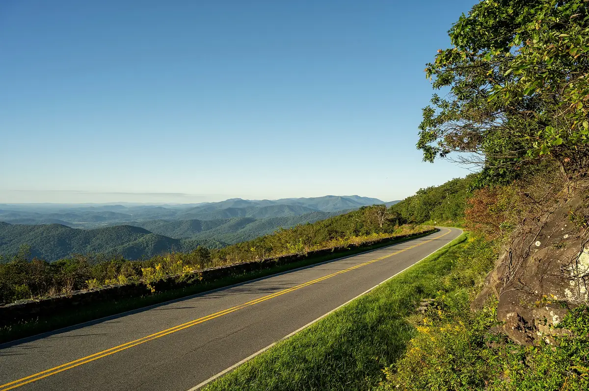

The only public road through Shenandoah National Park, with 75 overlooks.
Best time to go: Open all year, 24 hours, but closes for snow and ice and other bad weather; fall foliage is the busiest season.
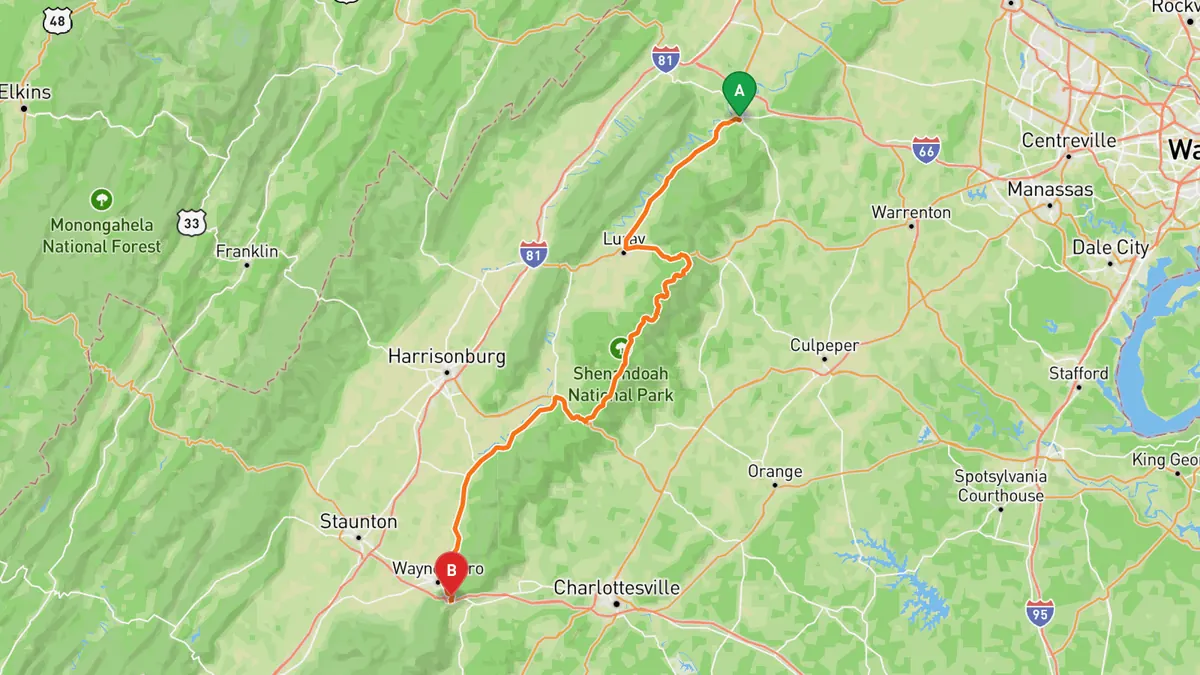
Sources: Length · Best time. Drive time is the route time for the mapped route without stops, from Mapbox.
2. George Washington Memorial Parkway
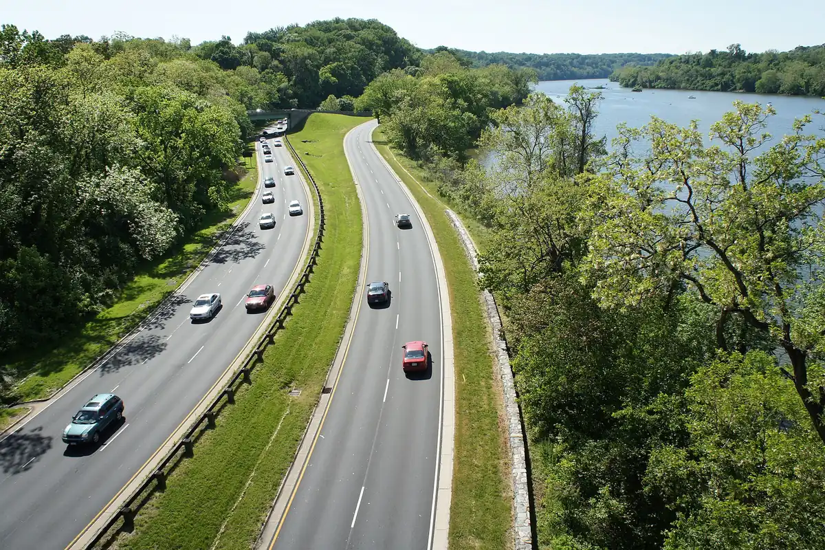

Parkway built for recreational driving along the Potomac, with Georgetown and Palisades overlooks.
The parkway runs about 25 miles along the south bank of the Potomac from Mount Vernon through Old Town Alexandria, past Reagan National Airport and Arlington, to the Capital Beltway in McLean. The north section has scenic view areas for the Georgetown skyline and the Potomac Palisades, and access to Theodore Roosevelt Island, Fort Marcy and Turkey Run Park.
Best time to go: Generally open all year, 24 hours; check NPS alerts for road work and weather closures.
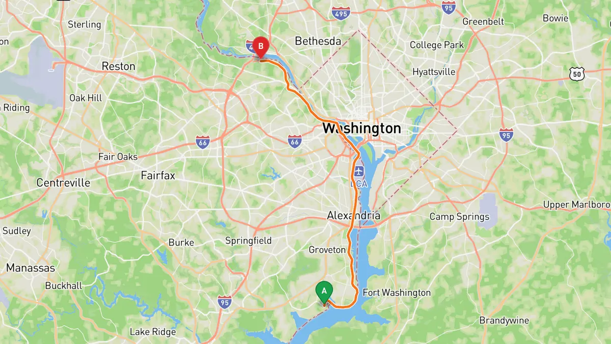
Sources: Length · Best time. Along the way 1 · Along the way 2. Drive time is the route time for the mapped route without stops, from Mapbox.
3. MD 77 over Catoctin Mountain
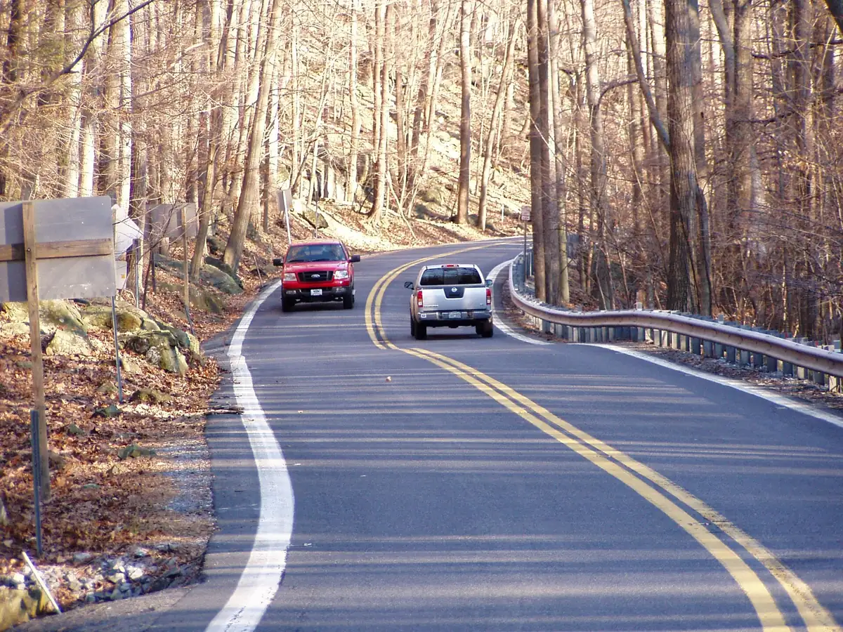

Curving climb over South Mountain and down the Hunting Creek valley past Catoctin parks.
MD 77 runs 20.74 miles from Smithsburg east over South Mountain via Foxville, then along the line between Cunningham Falls State Park and Catoctin Mountain Park and down the narrow Hunting Creek valley into Thurmont. East of Thurmont it crosses Monocacy River farmland through Graceham, Rocky Ridge and Detour to Keymar.
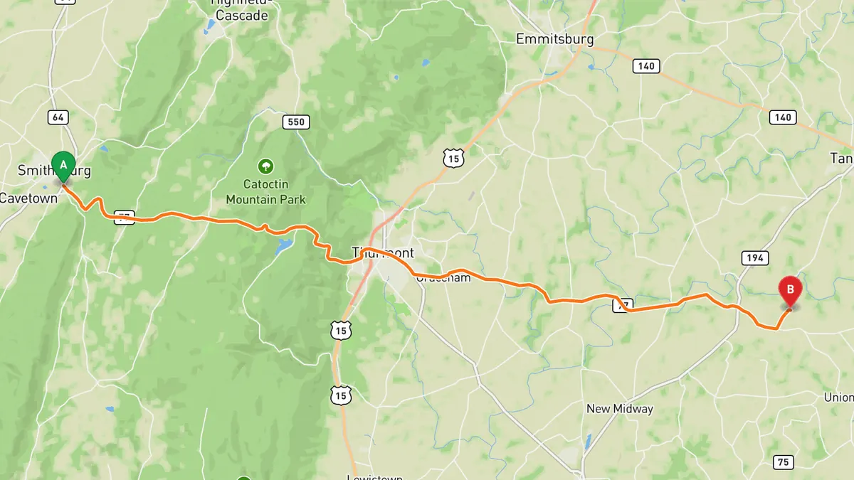
Sources: Length. Along the way. Drive time is the route time for the mapped route without stops, from Mapbox.
4. US 211 over Massanutten and Thornton Gap
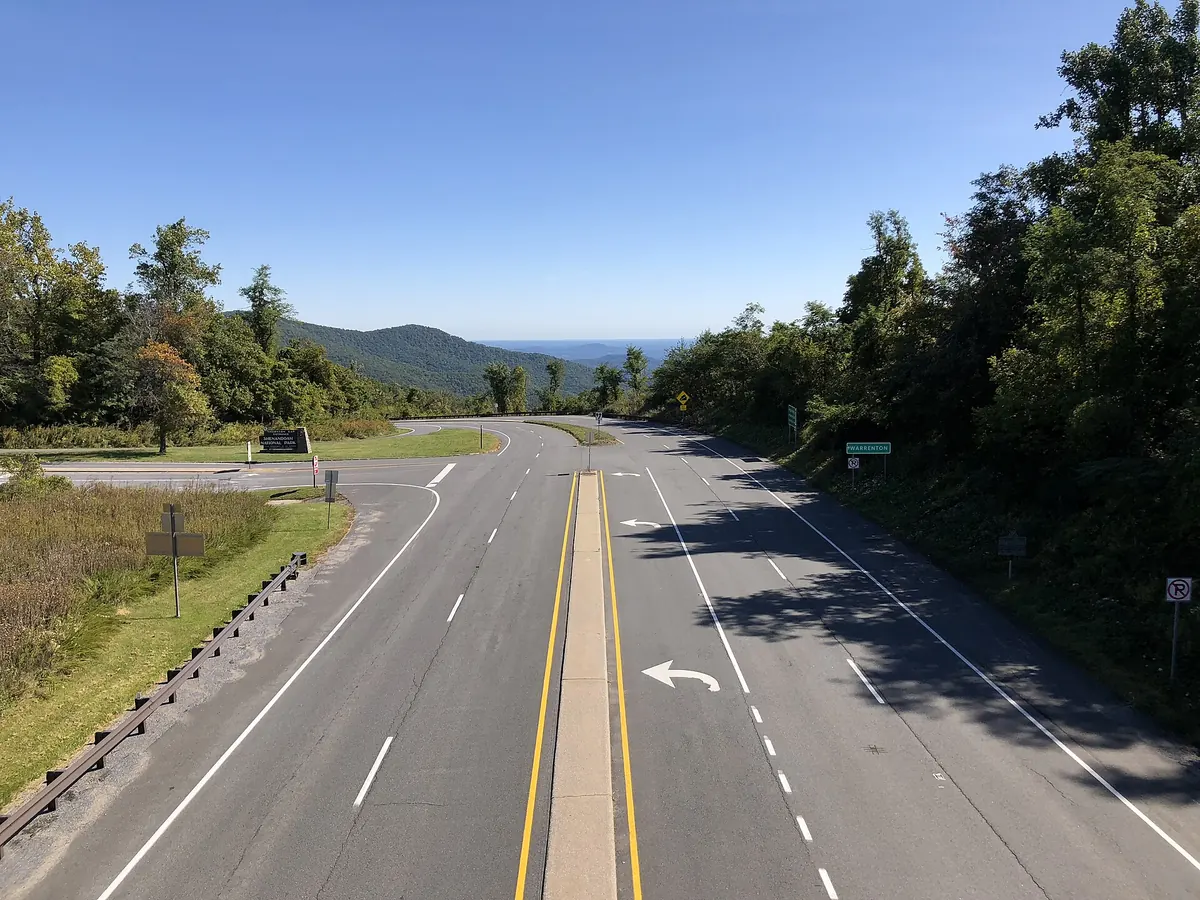

Crosses the Blue Ridge at Thornton Gap and Massanutten Mountain at New Market Gap.
US 211 runs 59 miles from Warrenton west through Sperryville, climbs the Blue Ridge to Thornton Gap where it meets Skyline Drive, and drops past Luray Caverns into the Shenandoah Valley at Luray. It then crosses the South Fork of the Shenandoah and takes a curvy path over Massanutten Mountain at New Market Gap before ending at I-81 in New Market.
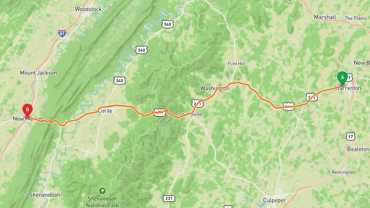
Sources: Length · High point. Along the way. Drive time is the route time for the mapped route without stops, from Mapbox.
5. Virginia Route 231 (F.T. Valley Road)
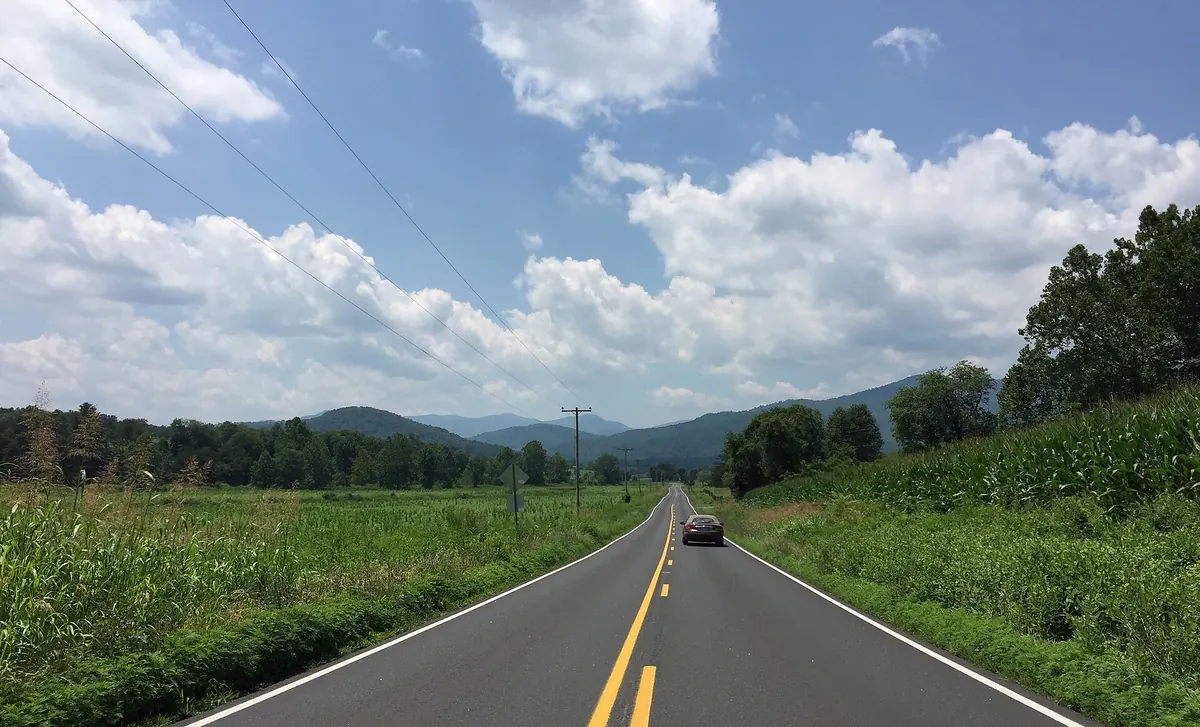

Virginia Byway through the Blue Ridge foothills, passing right by Old Rag Mountain.
VA 231 runs 49.82 miles from US 522 near Sperryville south through the F.T. Valley in the Blue Ridge foothills, passing Etlan directly east of Old Rag Mountain, then through Madison and over the Southwest Mountains to Gordonsville and Cismont. Almost all of it is a designated Virginia Byway.
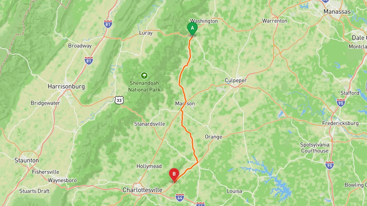
Sources: Length. Along the way. Drive time is the route time for the mapped route without stops, from Mapbox.
Track your next drive near Washington, DC
Open Road keeps every drive: the route on a map, the time and the distance. On iPhone and Android.


Questions, answered
- What are the best driving roads near Washington, DC?
- Top picks near Washington, DC: Skyline Drive, George Washington Memorial Parkway, MD 77 over Catoctin Mountain, US 211 over Massanutten and Thornton Gap, Virginia Route 231. Each one is here for the drive and the scenery.
- How long are the best driving roads near Washington, DC?
- Skyline Drive: 105 mi. George Washington Memorial Parkway: About 25 miles. MD 77 over Catoctin Mountain: 20.7 miles, Smithsburg to Keymar. US 211 over Massanutten and Thornton Gap: 59 miles, Warrenton to New Market. Virginia Route 231: 49.8 miles, Sperryville to Cismont.
- Which driving road near Washington, DC climbs the highest?
- US 211 over Massanutten and Thornton Gap, with a high point of 2,460 ft at Thornton Gap.
- When is the best time to drive these roads?
- Skyline Drive: Open all year, 24 hours, but closes for snow and ice and other bad weather; fall foliage is the busiest season. George Washington Memorial Parkway: Generally open all year, 24 hours; check NPS alerts for road work and weather closures.
- What's the best app to track a drive near Washington, DC?
- Open Road records your drive and saves it to your drive log with the route on a map, the distance and the time. It is on iPhone and Android.