Best driving roads near Austin
West of Austin the Texas Hill Country erupts into limestone ridges and switchbacks, home to the famous Twisted Sisters near Leakey (just under three hours away) and miles of lakeside curves enthusiasts drive for hours.
1. Ranch Road 337 (the Twisted Sisters)
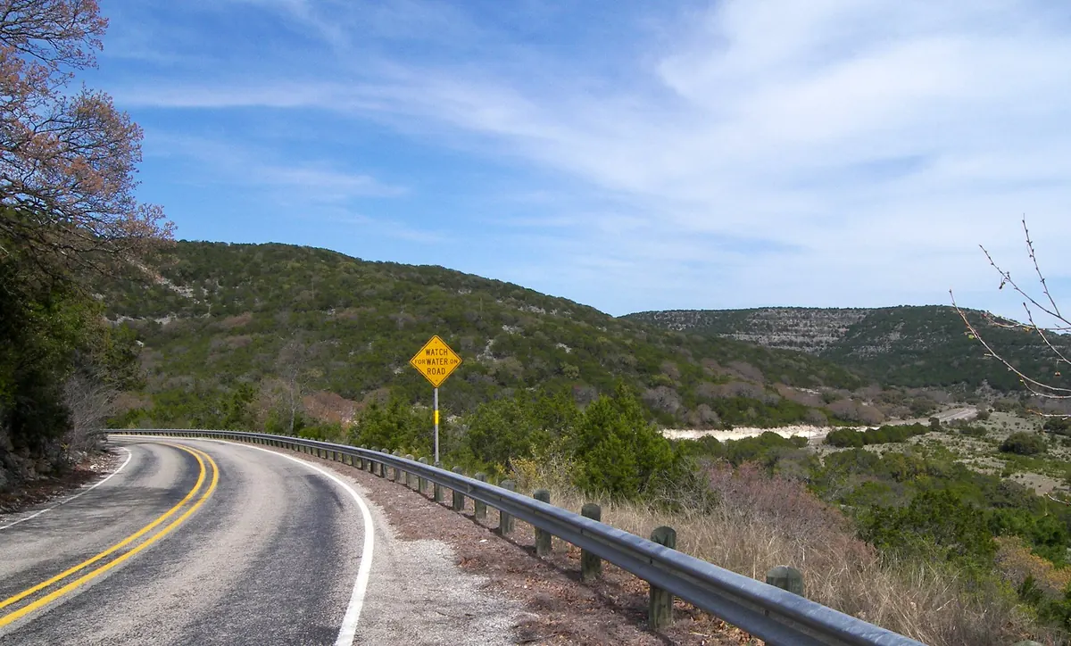

Part of the famed Twisted Sisters trio near Leakey, considered one of the best sports-car and motorcycle roads in America for its switchbacks and elevation changes.
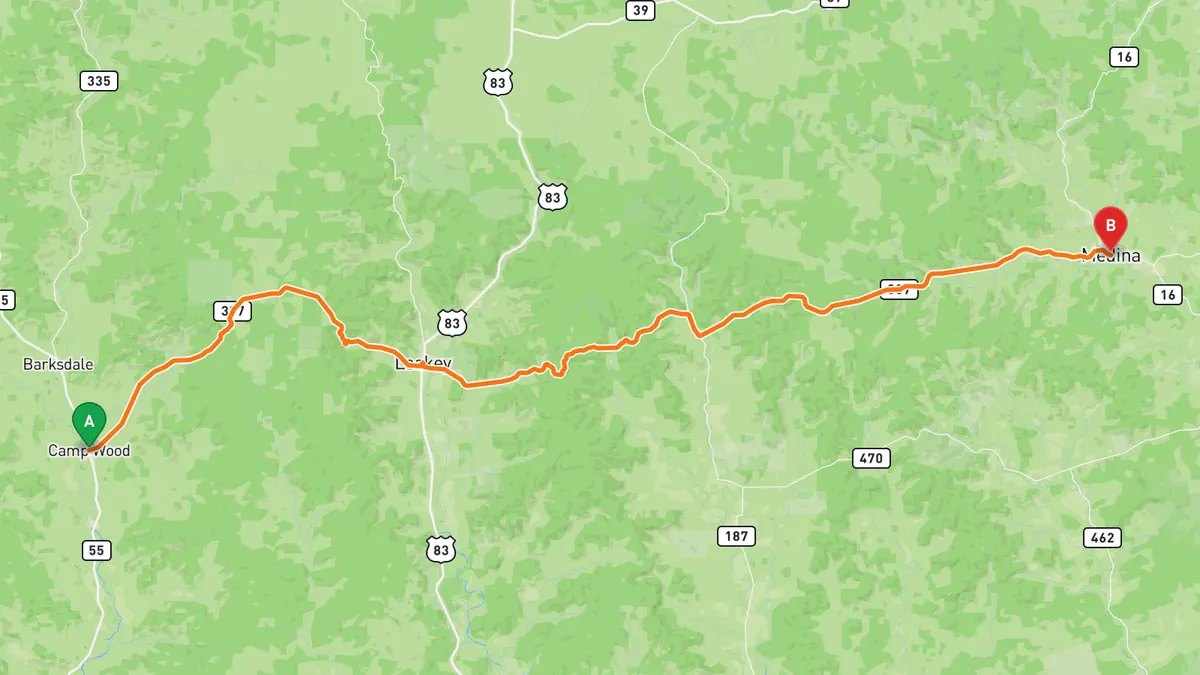
Sources: Length. Drive time is the route time for the mapped route without stops, from Mapbox.
2. The Devil's Backbone (RM 32)
A captivating ridge-top run between Wimberley and Blanco with panoramic views over rolling hills, limestone ridges, and misty valleys.
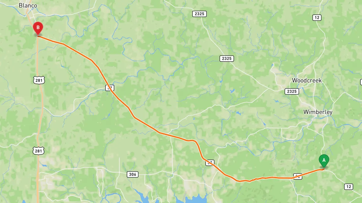
Sources: Length. Drive time is the route time for the mapped route without stops, from Mapbox.
3. Lime Creek Road
A twisting Hill Country road running inland from Volente near Lake Travis, with a few lake views, packed with curves and elevation right outside Austin.
Best time to go: Weekdays outside peak lake season; it gets lake traffic in the warm months and enforcement near the FM 1431 end.
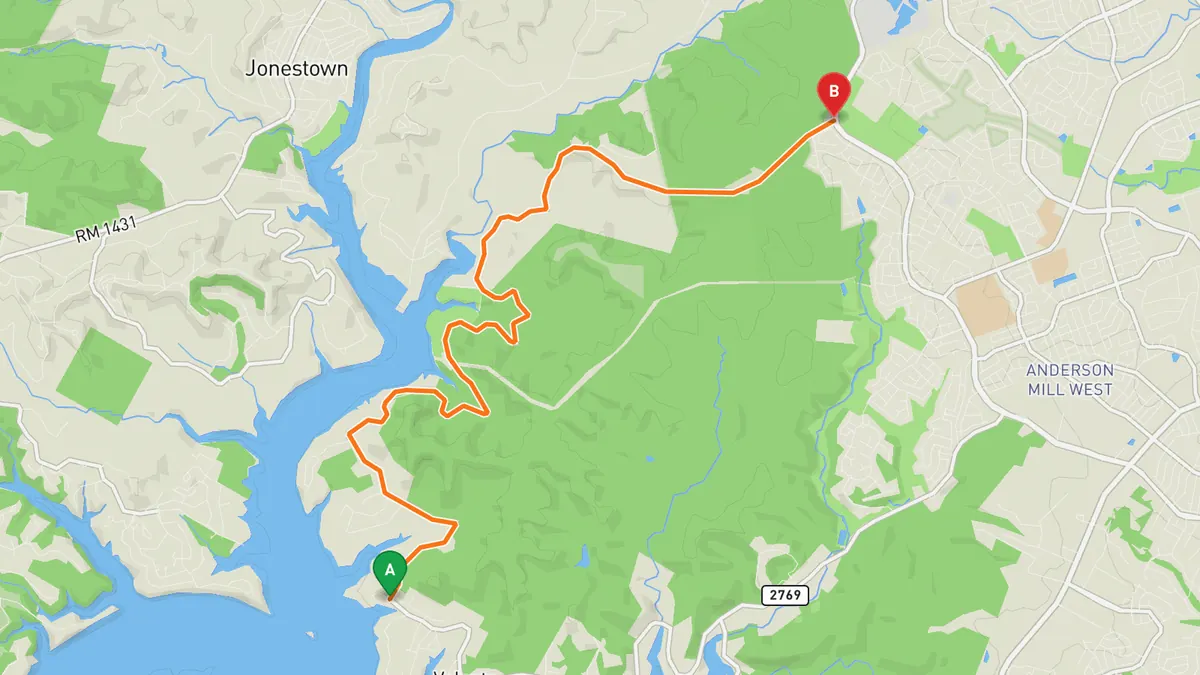
Sources: Best time. Drive time is the route time for the mapped route without stops, from Mapbox.
4. Willow City Loop
A winding country loop near Fredericksburg famous for spring wildflowers lining its narrow, photogenic curves.
Best time to go: Spring wildflower season, peaking in April; busy on weekends.
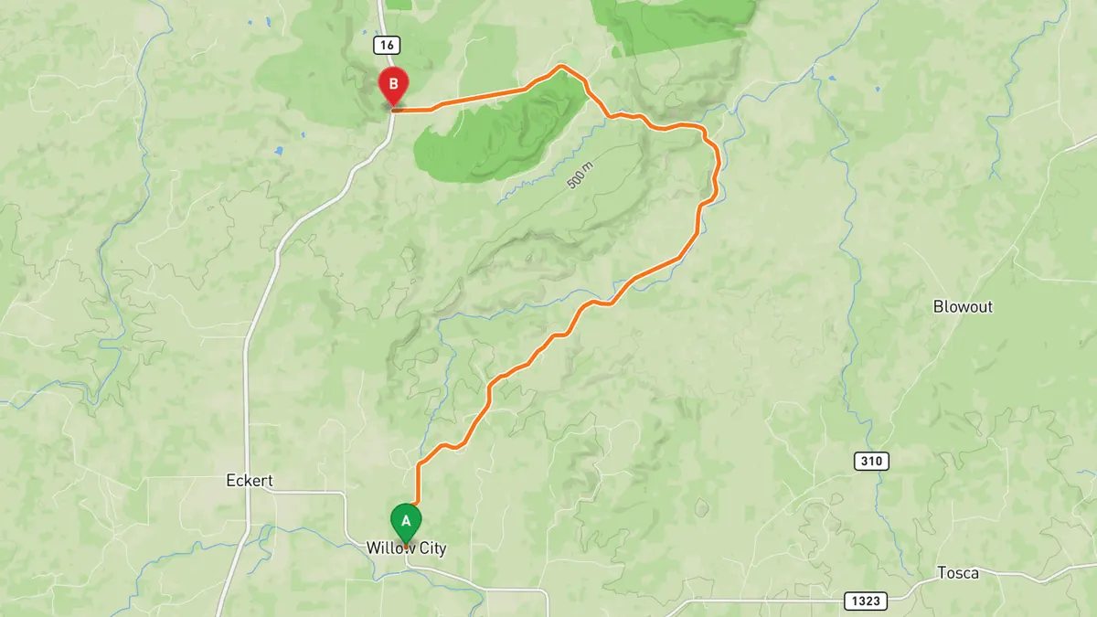
Sources: Length · Best time. Drive time is the route time for the mapped route without stops, from Mapbox.
5. Ranch Road 335 & 336 (the Twisted Sisters)
The other two of the Twisted Sisters near Leakey, completing the roughly 100-mile loop of switchbacks and serious elevation through the Hill Country.
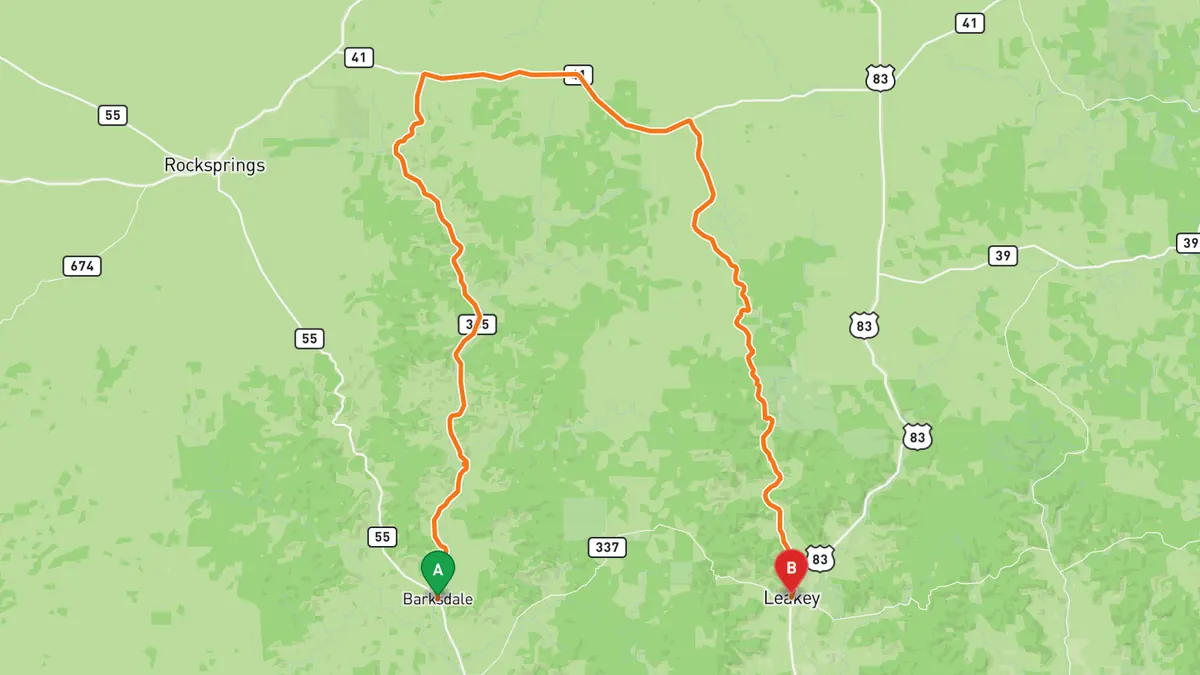
Sources: Length. Drive time is the route time for the mapped route without stops, from Mapbox.
Track your next drive near Austin
Open Road keeps every drive: the route on a map, the time and the distance. On iPhone and Android.


Questions, answered
- What are the best driving roads near Austin?
- Top picks near Austin: Ranch Road 337, The Devil's Backbone, Lime Creek Road, Willow City Loop, Ranch Road 335 & 336. Each one is here for the drive and the scenery.
- How long are the best driving roads near Austin?
- Ranch Road 337: 56.1 mi. The Devil's Backbone: 23.2 mi. Willow City Loop: 13 mi. Ranch Road 335 & 336: 55.4 mi (RM 335 29.0, RM 336 26.4).
- When is the best time to drive these roads?
- Lime Creek Road: Weekdays outside peak lake season; it gets lake traffic in the warm months and enforcement near the FM 1431 end. Willow City Loop: Spring wildflower season, peaking in April; busy on weekends.
- What's the best app to track a drive near Austin?
- Open Road records your drive and saves it to your drive log with the route on a map, the distance and the time. It is on iPhone and Android.