Best driving roads near Denver
Denver drivers can leave the plains and be carving alpine switchbacks above the treeline within an hour, with some of the highest paved roads in North America on the doorstep.
1. Mount Blue Sky Scenic Byway (formerly Mount Evans)
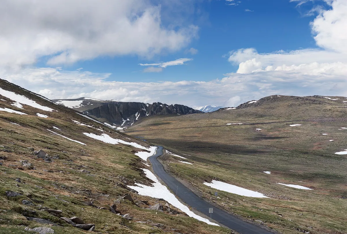

The highest paved road in North America, topping out at 14,130 feet with steep climbs, hairpins, and Front Range views. The summit road needs a timed reservation and is open Memorial Day to Labor Day.
Best time to go: Summit road open Memorial Day through Labor Day only, with a timed vehicle reservation required.
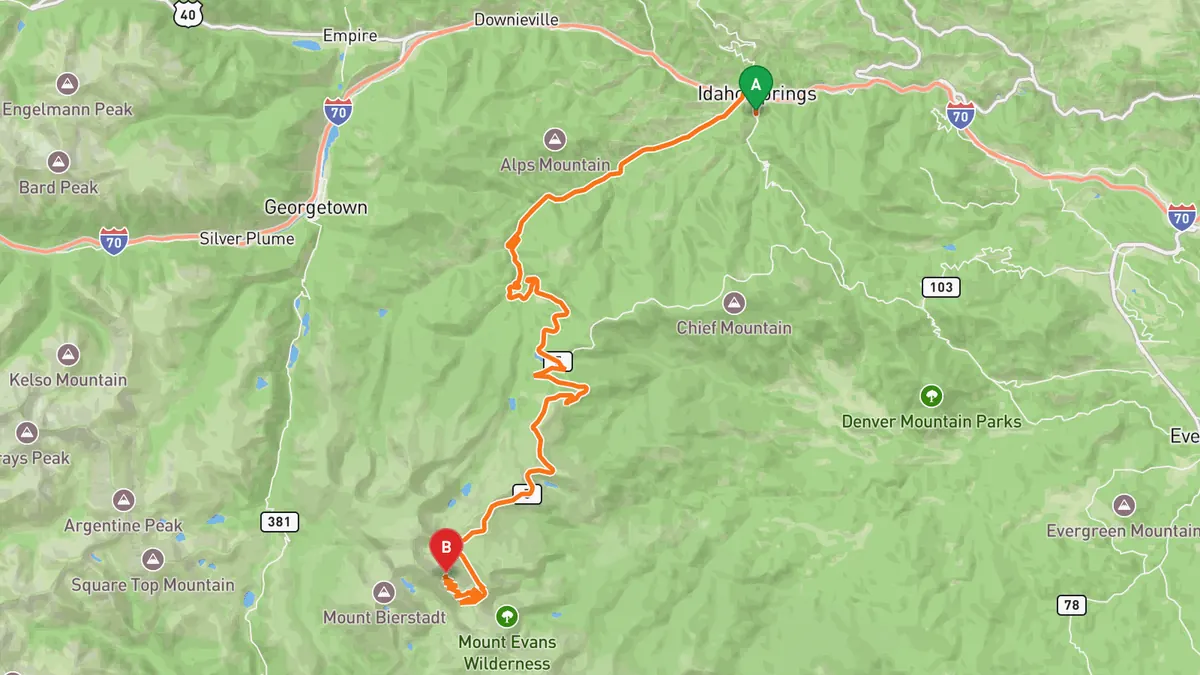
Sources: Length · High point · Best time. Drive time is the route time for the mapped route without stops, from Mapbox.
2. Trail Ridge Road (US-34)
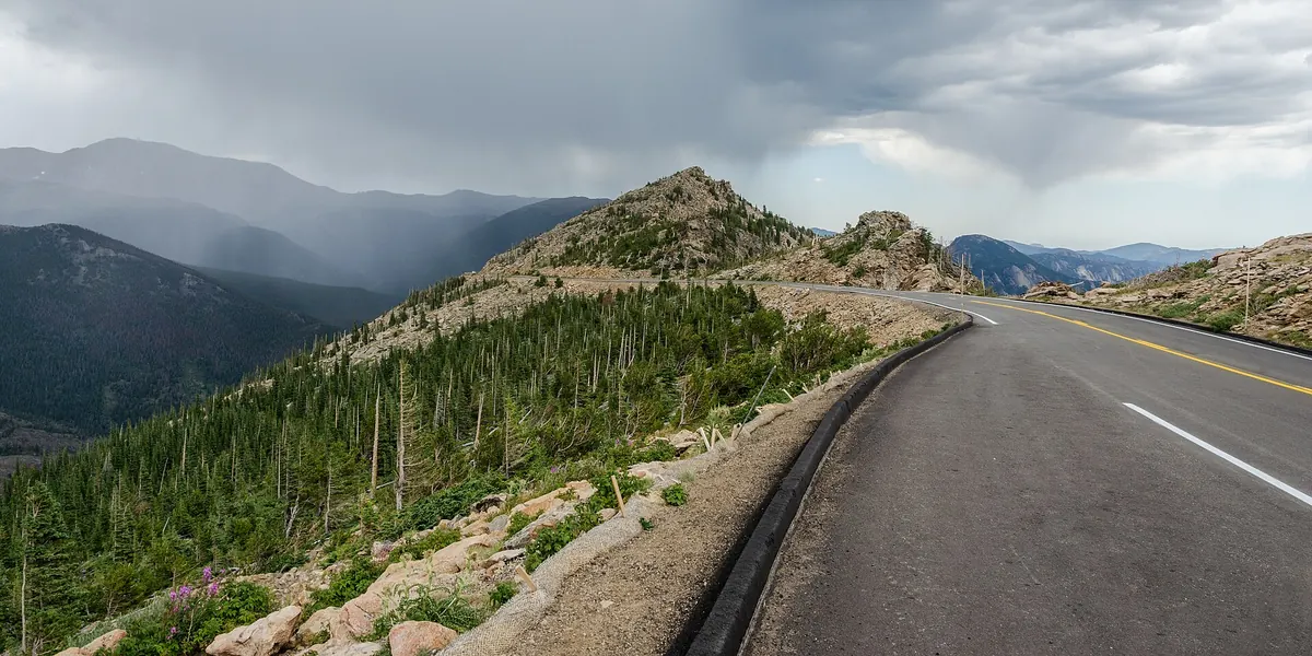

A 48-mile alpine traverse through Rocky Mountain National Park climbing to 12,183 feet past wildflower meadows and continental-divide vistas (summer only).
Best time to go: Summer to early fall; the high section closes for snow from about October to May.
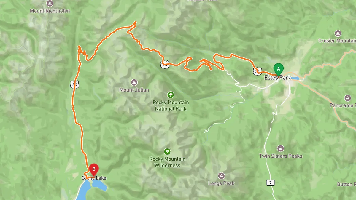
Sources: Length · High point · Best time. Drive time is the route time for the mapped route without stops, from Mapbox.
3. Lookout Mountain Road
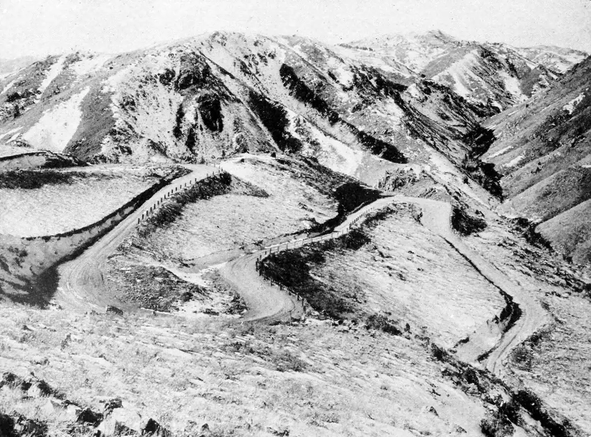

A short, tight set of switchbacks climbing from Golden to a 7,377-foot summit with panoramic views back over Denver and the foothills.
Best time to go: Open year-round; part of Lookout Mountain Road has a night closure.
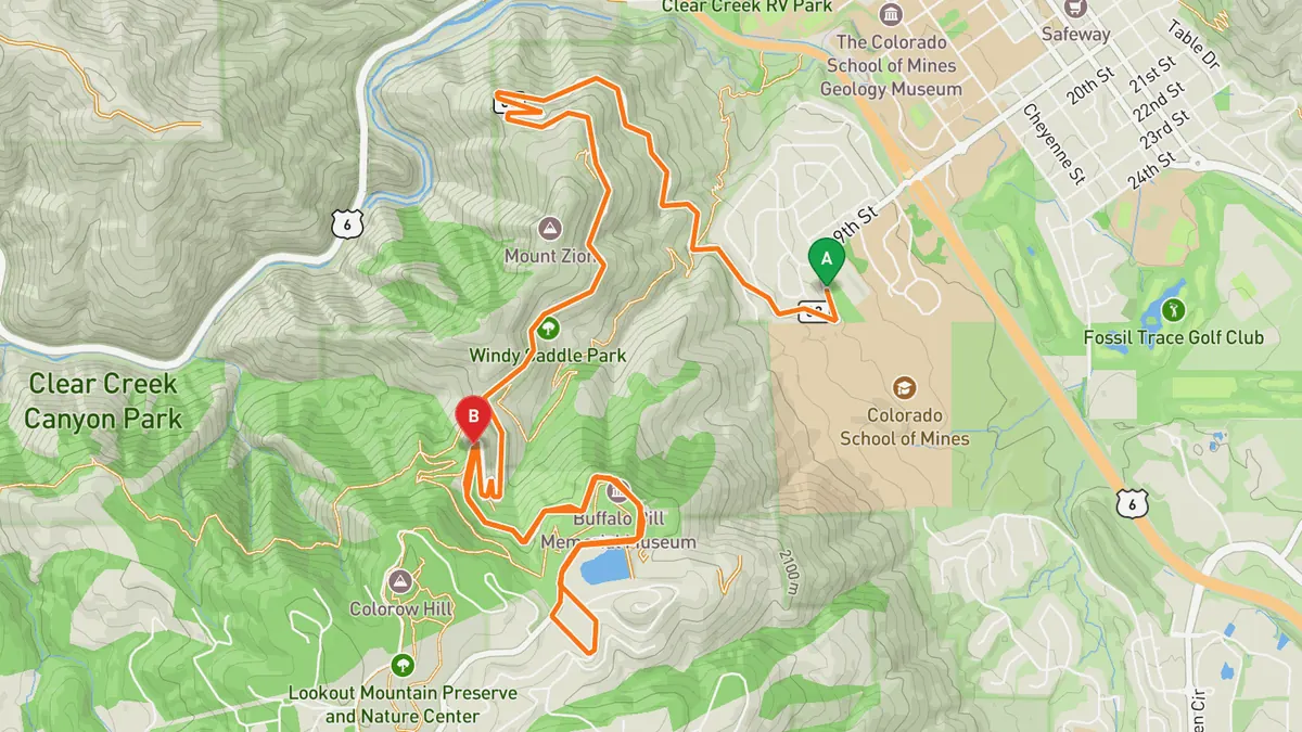
Sources: Length · High point · Best time. Drive time is the route time for the mapped route without stops, from Mapbox.
4. Lariat Loop
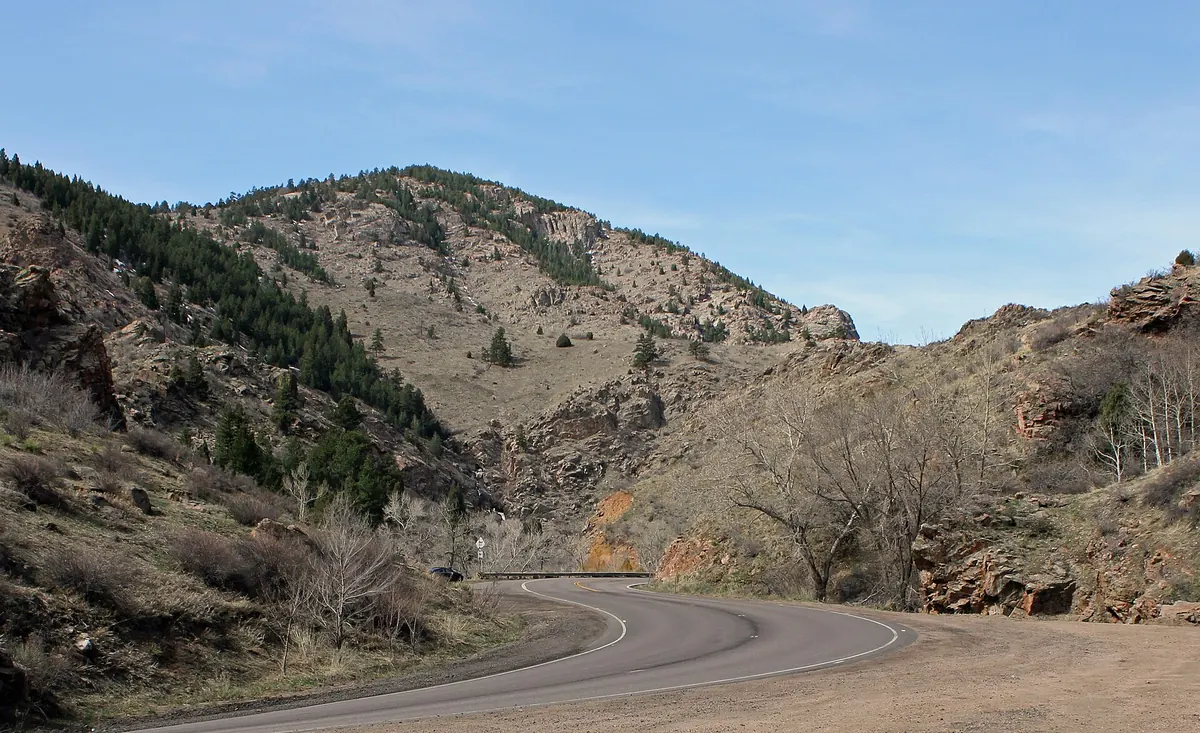

A scenic byway in the foothills just west of Denver, a 40-mile loop through Golden, Evergreen, and Morrison stitching together classic foothills canyon driving.
Best time to go: Accessible year-round; night closure on part of Lookout Mountain Road.
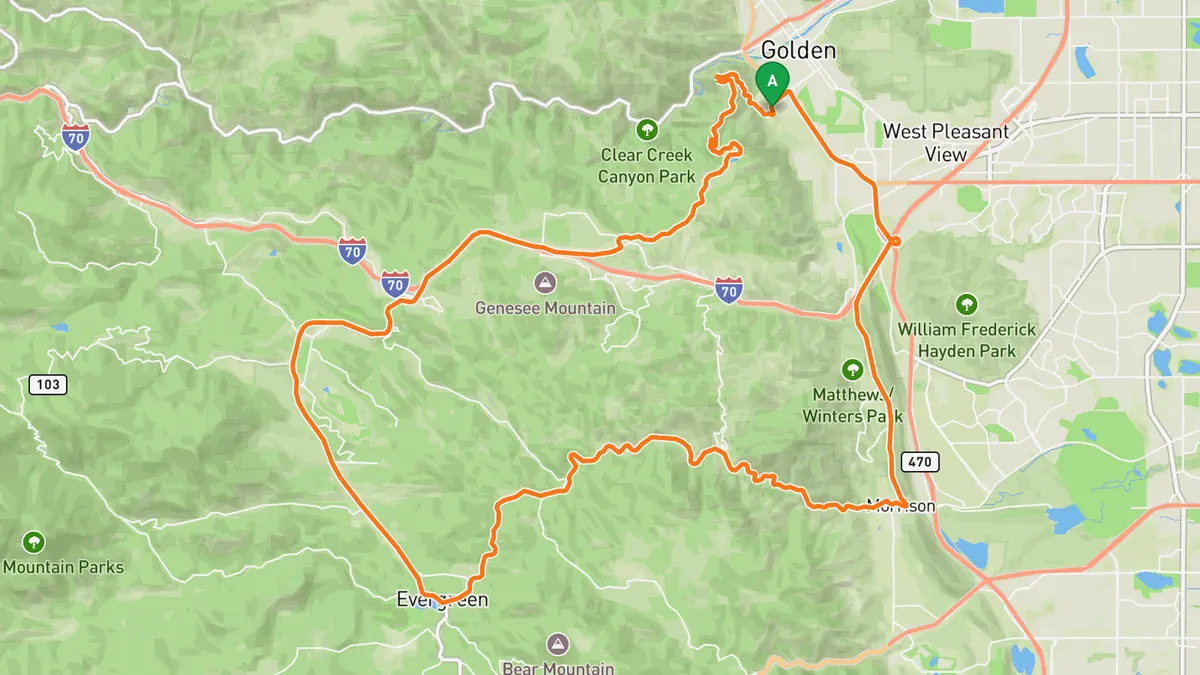
Sources: Length · Best time. Drive time is the route time for the mapped route without stops, from Mapbox.
5. Guanella Pass Scenic Byway
A high-country byway over an 11,669-foot pass linking Georgetown and Grant, blending tight climbs with alpine lakes and peak views.
Best time to go: Late May to late November; seasonally closed from about Nov 26 to Memorial Day weekend. Aspen color usually Sept 10 to Oct 10.
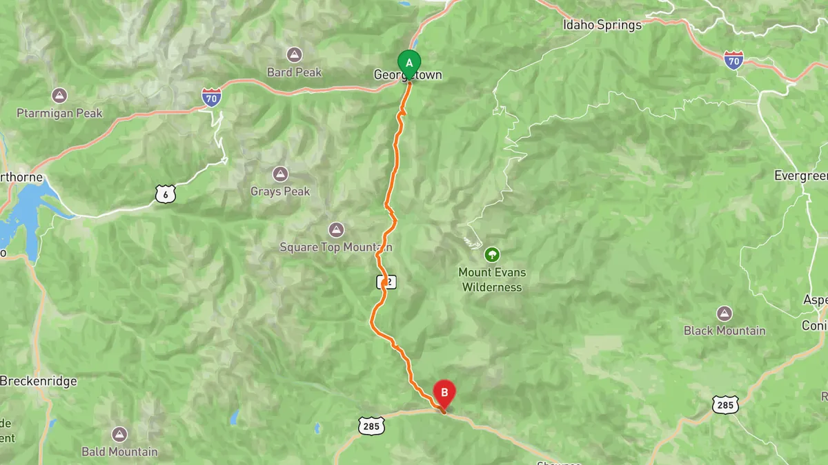
Sources: Length · High point · Best time. Drive time is the route time for the mapped route without stops, from Mapbox.
Track your next drive near Denver
Open Road keeps every drive: the route on a map, the time and the distance. On iPhone and Android.


Questions, answered
- What are the best driving roads near Denver?
- Top picks near Denver: Mount Blue Sky Scenic Byway, Trail Ridge Road, Lookout Mountain Road, Lariat Loop, Guanella Pass Scenic Byway. Each one is here for the drive and the scenery.
- How long are the best driving roads near Denver?
- Mount Blue Sky Scenic Byway: 49 mi (summit road about 15 mi). Trail Ridge Road: 48 mi. Lookout Mountain Road: 4.3 mi. Lariat Loop: 40-mile loop. Guanella Pass Scenic Byway: 22 mi.
- Which driving road near Denver climbs the highest?
- Mount Blue Sky Scenic Byway, with a high point of 14,130 ft.
- When is the best time to drive these roads?
- Mount Blue Sky Scenic Byway: Summit road open Memorial Day through Labor Day only, with a timed vehicle reservation required. Trail Ridge Road: Summer to early fall; the high section closes for snow from about October to May. Lookout Mountain Road: Open year-round; part of Lookout Mountain Road has a night closure. Lariat Loop: Accessible year-round; night closure on part of Lookout Mountain Road. Guanella Pass Scenic Byway: Late May to late November; seasonally closed from about Nov 26 to Memorial Day weekend. Aspen color usually Sept 10 to Oct 10.
- What's the best app to track a drive near Denver?
- Open Road records your drive and saves it to your drive log with the route on a map, the distance and the time. It is on iPhone and Android.