Driving Roads / Blue Ridge Parkway
Blue Ridge Parkway
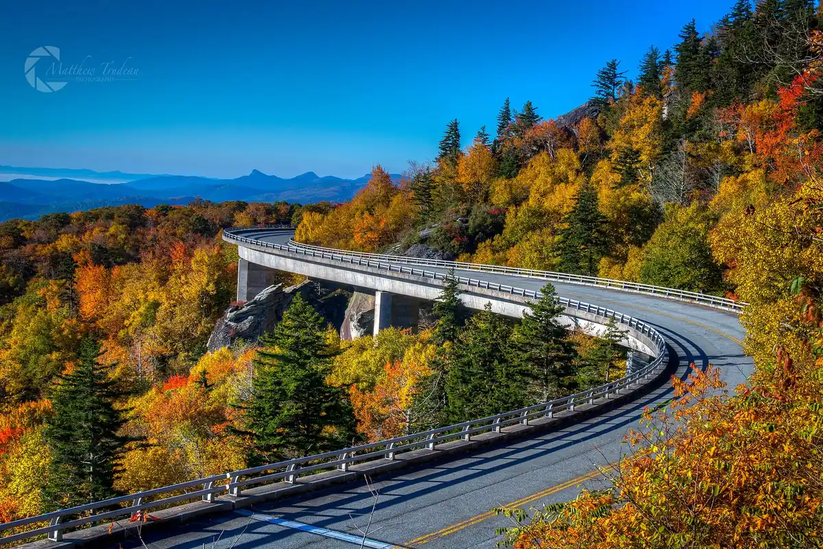

At 469 miles it is the longest linear park in the U.S., running the crest of the Appalachians with endless overlooks and a relaxed 45 mph pace. It runs about 469 miles along Blue Ridge Parkway in North Carolina / Virginia. Drive time: 2-3 days end to end.
Best time to go: Spring through fall; peak color late September on the summits into late October in the valleys. Many sections are not maintained in winter, and some stretches close for storm damage, so check the NPS road status page before you go.
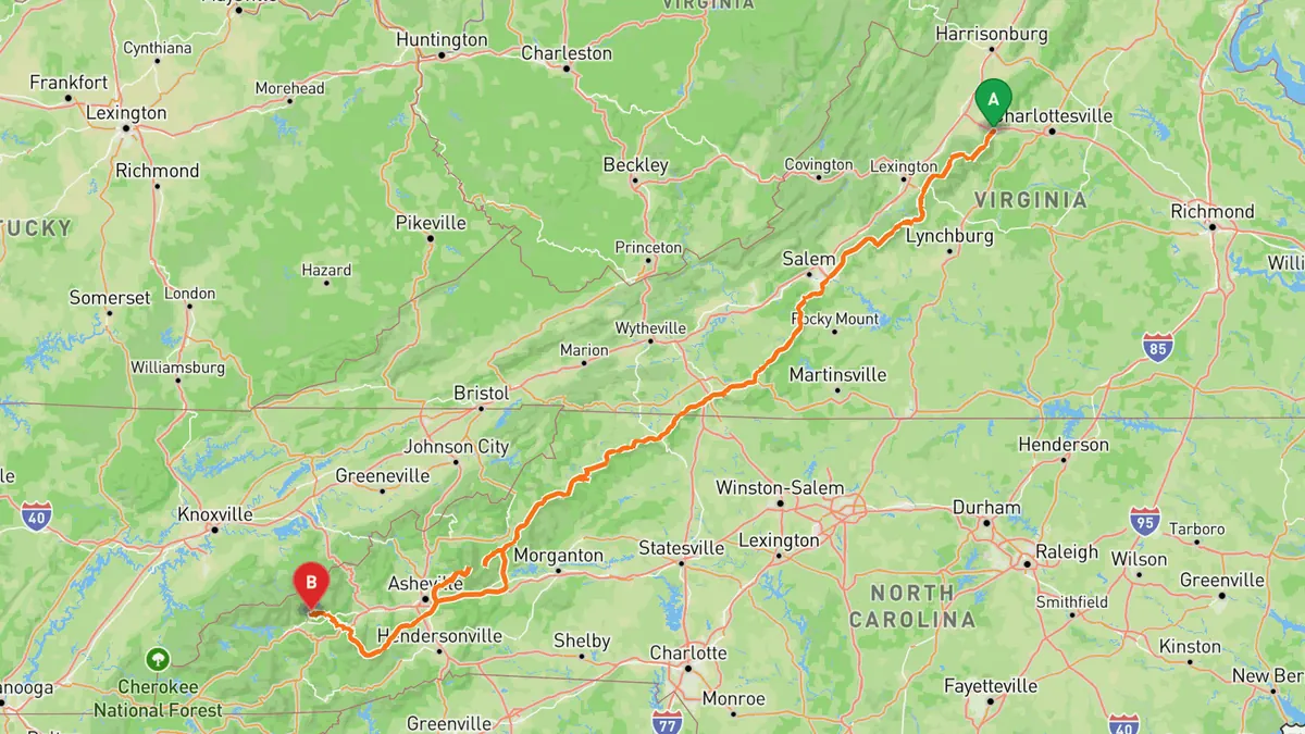
Sources: Length · High point · Best time.
What to track on Blue Ridge Parkway
A long-haul cruise road: record each day and your drive log keeps the distance and time of every leg, filling in the parkway on your map one stretch at a time.
The speed limit is 45 mph (lower in many spots); slow for fog, wildlife and cyclists, and pull into overlooks to enjoy the view safely.
Record your run on Blue Ridge Parkway
Open Road keeps every drive: the route on a map, the time and the distance. On iPhone and Android.


Questions, answered
- How long is Blue Ridge Parkway?
- Blue Ridge Parkway runs about 469 miles along Blue Ridge Parkway. Drive time: 2-3 days end to end.
- Where is Blue Ridge Parkway?
- Blue Ridge Parkway is in North Carolina / Virginia, following Blue Ridge Parkway.
- How high does Blue Ridge Parkway climb?
- The high point is 6,053 ft at Richland Balsam.
- When is the best time to drive Blue Ridge Parkway?
- Spring through fall; peak color late September on the summits into late October in the valleys. Many sections are not maintained in winter, and some stretches close for storm damage, so check the NPS road status page before you go.
- What's the best app to track a drive on Blue Ridge Parkway?
- Open Road records the whole run and saves it to your drive log with the route, distance and drive time, and the road joins your map of every road you have driven. It is on iPhone and Android.