Driving Roads / Road to Hana
Road to Hana
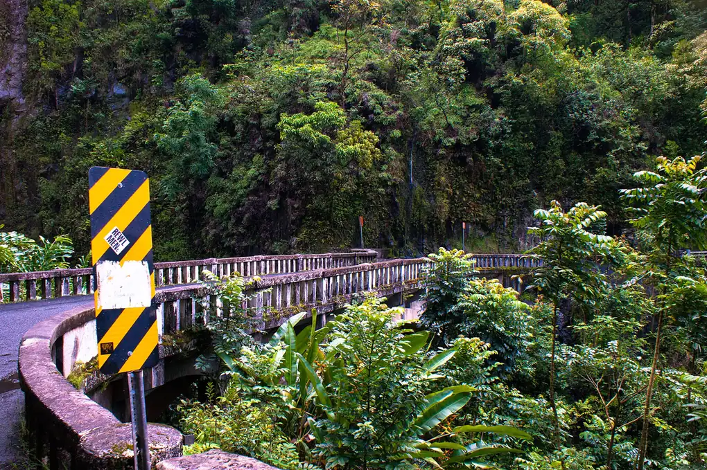

The Hana Highway winds about 64 miles along Maui's rainforest coast through roughly 620 curves and 59 bridges, 46 of them only one lane wide. It runs about 64 miles along Hana Highway (HI-360/36) in Hawaii. Drive time: ~2.5 hours one way (full day with stops).
Best time to go: Open all year; drive in daylight and expect slow going, heavy rain can bring landslides and closures.
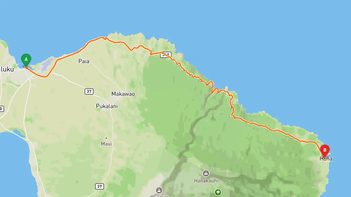
Sources: Length · Best time. Drive time is the route time for the mapped route without stops, from Mapbox.
What to track on Road to Hana
A low-speed, high-curve road: record the winding route bridge to bridge and keep the whole day in your drive log. Patience is the whole point.
One-lane bridges and blind curves require yielding, going slow, and pulling over to let locals pass; never rush this drive.
Record your run on Road to Hana
Open Road keeps every drive: the route on a map, the time and the distance. On iPhone and Android.


Questions, answered
- How long is Road to Hana?
- Road to Hana runs about 64 miles along Hana Highway (HI-360/36). Drive time: ~2.5 hours one way (full day with stops).
- Where is Road to Hana?
- Road to Hana is in Hawaii, following Hana Highway (HI-360/36).
- When is the best time to drive Road to Hana?
- Open all year; drive in daylight and expect slow going, heavy rain can bring landslides and closures.
- What's the best app to track a drive on Road to Hana?
- Open Road records the whole run and saves it to your drive log with the route, distance and drive time, and the road joins your map of every road you have driven. It is on iPhone and Android.